RESOLUTION MOUNTAIN (11,905’)
PTARMIGAN HILL (12,143’)
UNNAMED 9732
August 30, 2020
By Tim Briese
Resolution Mountain: 1.4 miles, 400’ elevation gain, 1:00 roundtrip time
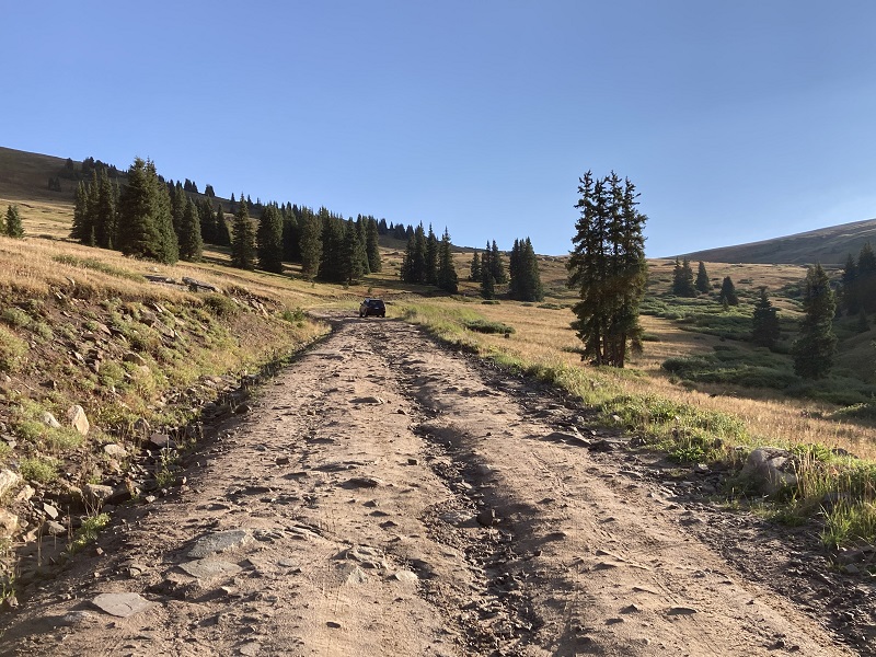
Brian and I drove up Resolution Road (FR 702) from Camp Hale toward Ptarmigan Pass on this sunny August morning. This road sharply climbs 2500 feet in about five miles and is reasonable to drive with a high clearance vehicle but is rather rocky and slow-going in places, especially on the upper half of it. I had never even heard about this road and pass before so it was fun to explore a new place.
on resolution road
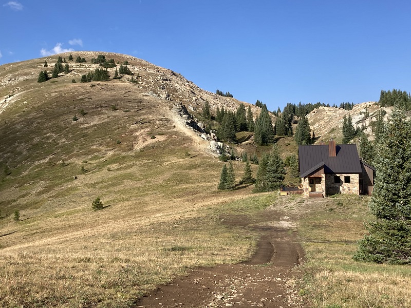
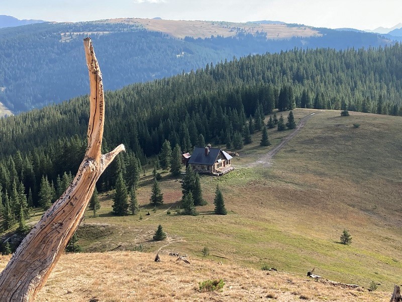
About a half mile before reaching the pass we turned left onto FR 751, a narrow but reasonable dirt track, and followed it about two and a half miles to its gated end, at 11,500’. From there we hiked west on a trail and in a couple of hundred yards walked past the Fowler-Hilliard Hut, an elegant structure that expands the meaning of "hut" considerably.
approaching the fowler-hilliard hut, with resolution mountain at the upper left
i think i could handle staying here

if you are fortunate enough to stay in this hut, here is the view that would greet you out the front door
We continued west on a trail right up the slope of Resolution Mountain.
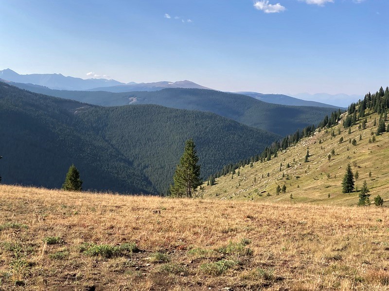
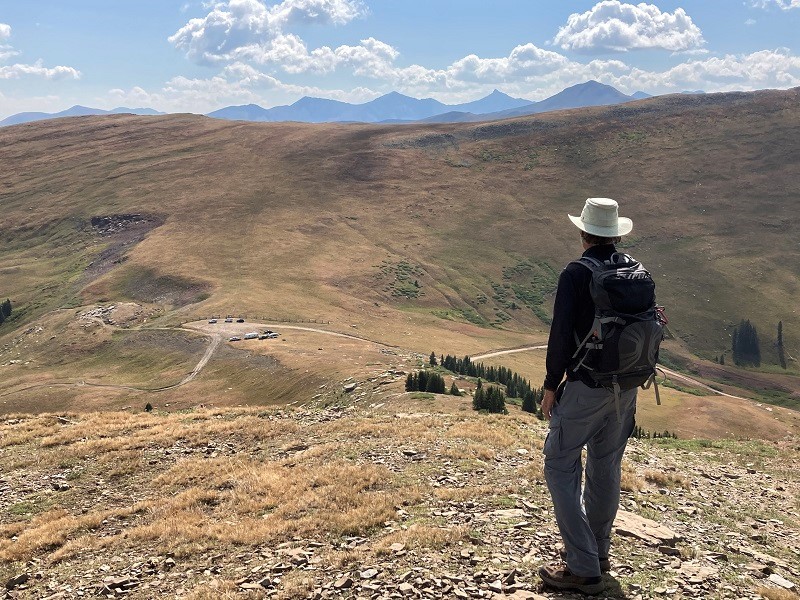
a nice view of the distant gore range on the ascent
looking back down at the mountain hut
We arrived on top at 915, a half hour after leaving our vehicles. There were nice views on top on this beautiful morning, and after a few minutes we left and hiked back down.
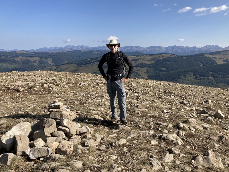
brian on resolution mountain
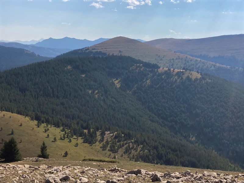
view of ptarmigan hill, in the center, from resolution mountain
Ptarmigan Hill: 1.0 miles, 400’ elevation gain, 0:55 roundtrip time
We drove back to Resolution Road, turned left, and followed it the remaining half mile up to 11,765’ Ptarmigan Pass.
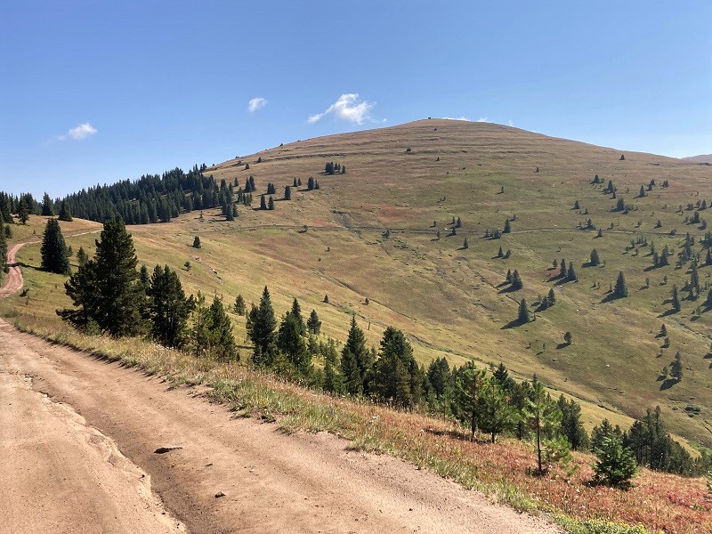
view of ptarmigan hill as we were driving back on fr 751
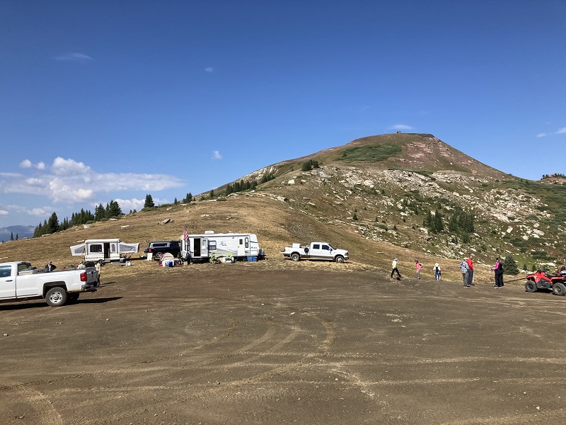
The pass was a busy place on this Sunday morning, with numerous ATV’s, two forest service fellows, and incredibly, two campers that their owners had somehow towed up the steep, rocky road.
ptarmigan pass, with ptarmigan hill above
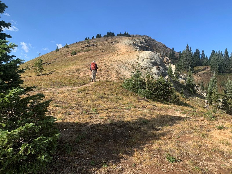
At 1020 we left the pass and hiked up a steep but easy trail to the summit of Ptarmigan.
me on the way up to ptarmigan. photo by brian schultz
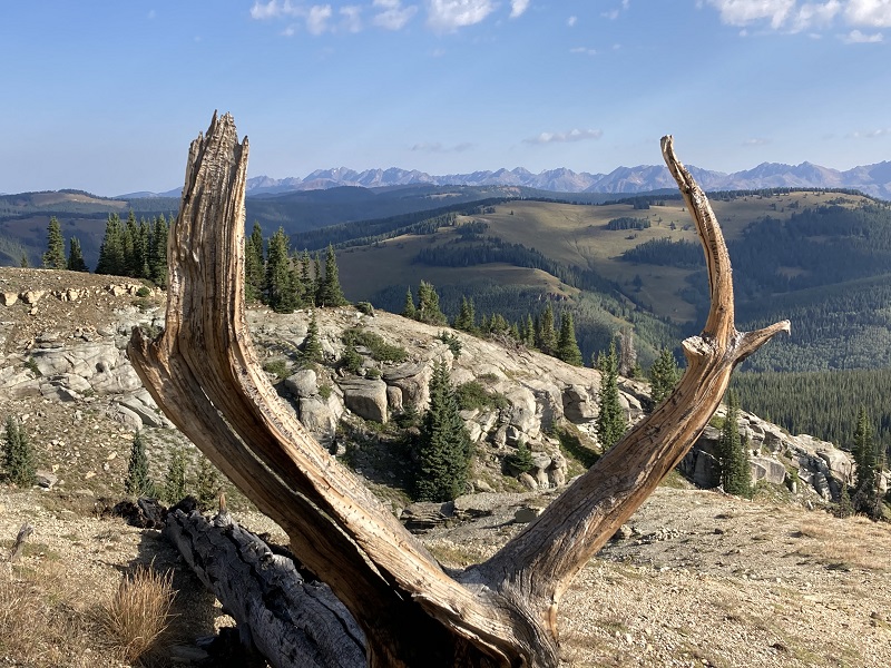
some cool rocks along the way

We arrived on top in half an hour. There was a small old structure on top as well as a newer one associated with an adjacent communication tower.
brian on the summit looking down at ptarmigan pass
After a bit we hiked back down to the pass in less than twenty minutes and drove back down the road.
Unnamed 9732: 1.1 miles, 500’ elevation gain, 1:40 roundtrip time
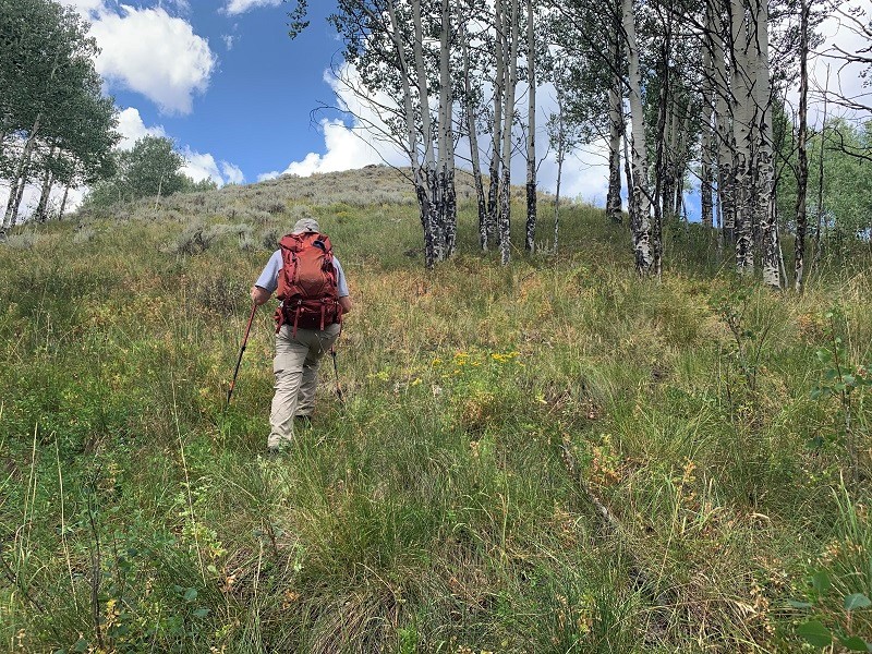
Back on Highway 24 by Camp Hale, we drove north a couple of miles and found a spot along the highway to pull off to climb our peak. We walked across the highway and bushwhacked up the slopes to the northeast, through grass and aspens. There was private property to the south but we easily skirted well around it.
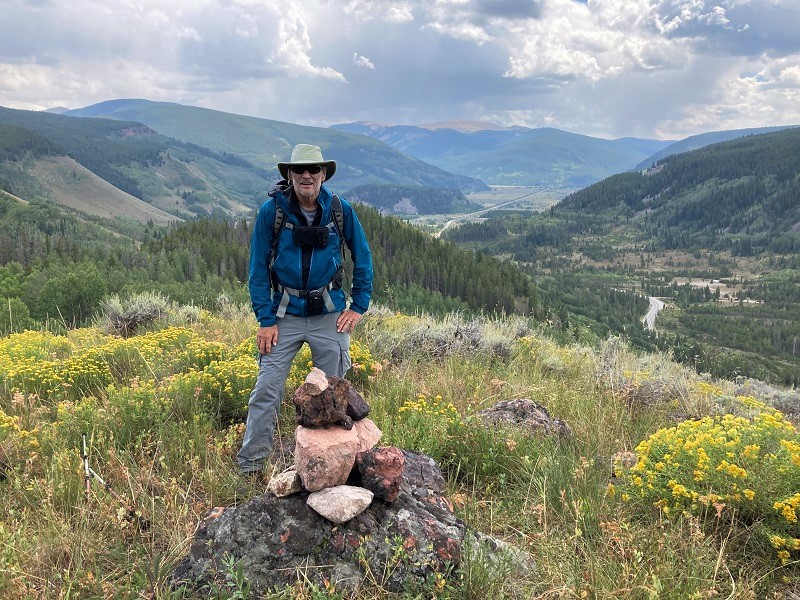
me approaching the summit. photo by brian schultz
We stepped on top in about 25 minutes and found the summit to be a surprisingly pleasant and scenic spot with nice open views.
brian on the summit. camp hale is in the distance in the valley below.
It was so nice up here that we sat and enjoyed it for about an hour before a looming rain cloud induced us to leave and hustle back down to our vehicles as light rain showered down. This was a fun day of climbing some easy peaks.