RICO MOUNTAINS PEAKS
ELLIOTT MOUNTAIN (12,340’)
SOCKRIDER PEAK (12,308’)
JOHNNY BULL MOUNTAIN (12,029’)
August 30, 2022
By Tim Briese
7.4 miles, 2800’ elevation gain, 6:45 roundtrip time
Brian and I drove up the Dunton Road off of Highway 145 south of Lizard Head Pass this morning.
a nice view of lizard head from hwy. 145
The 2WD Dunton Road had not been graded in a while and had a lot of potholes which made for rather slow going.
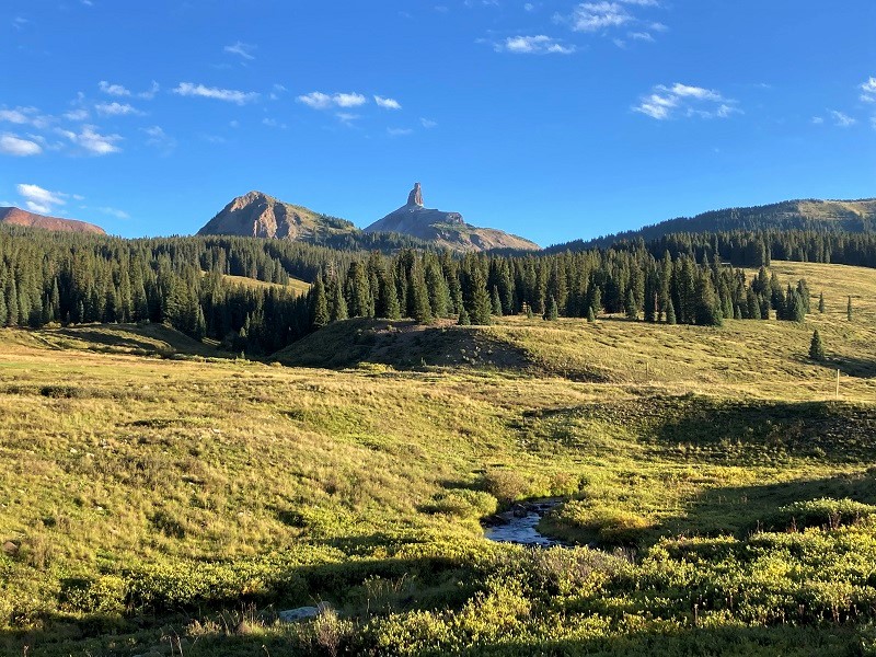
an early morning view of the south side of the wilson group from the dunton road
After a few miles we turned left onto the Eagle Creek Road, FR 471, which was in much better condition. We drove several miles almost to the end of the road and parked one of our vehicles where the Fall Creek Trail crosses the road and then went back about a mile to begin the hike where the Calico Trail crosses the road. We intended to do a loop hike today and this shuttle setup would save some walking later. We took off about 830 am and hiked up the excellent Calico Trail as it climbed up the valley along the East Fork of Fall Creek. The trail took us all the way up to the head of the valley and connected with another trail which we followed to the north about a half mile toward Elliott Mountain.
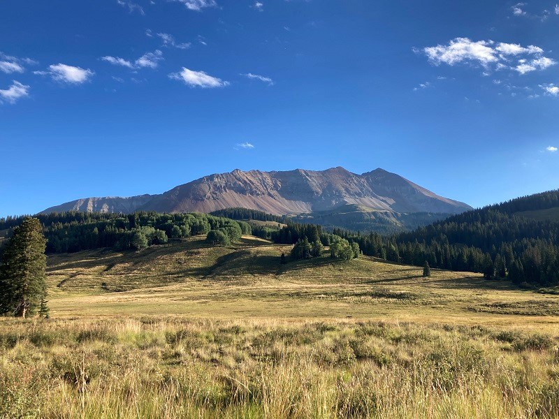
elliott mountain
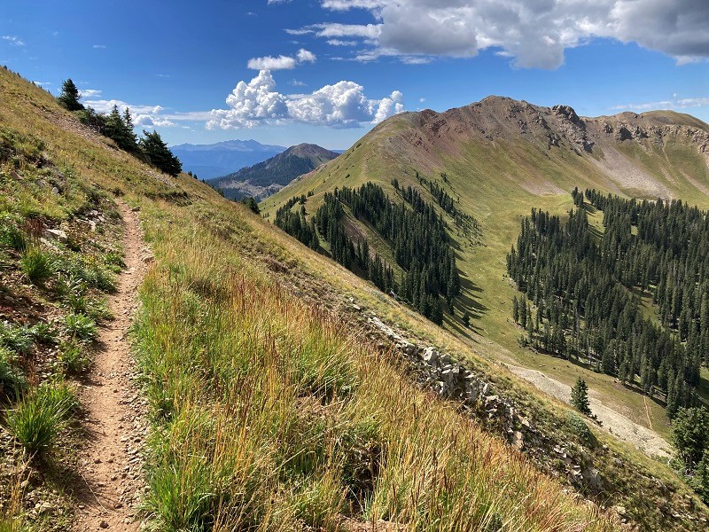
on the trail which contours below elliott's summit
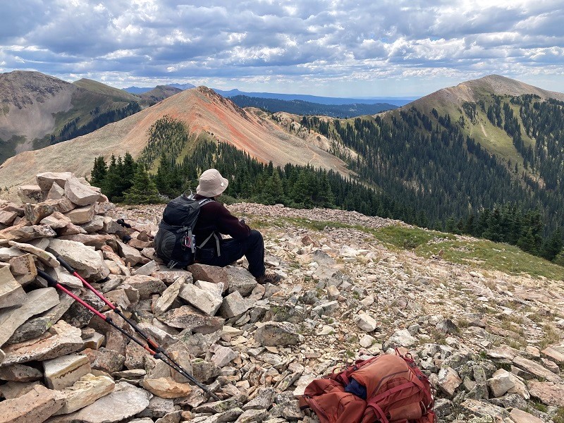
This area of the Rico Mountains has an interesting and convenient array of motorized single-track trails that one can hike to gain close access to a number of 12ers, which was appealing to us. While on the trail near Elliott we heard a couple of dirt bikes approaching and stepped aside as they whizzed by. The trail contoured across a steep slope a couple of hundred feet below Elliott's summit and we selected a spot to leave the trail and make the steep climb up a grass and gravel slope to the summit. We climbed about 1900 feet in just over two hours from the trailhead to get to the top. The views were wonderful from this summit and a few clouds in the sky added an elegance to the scene.
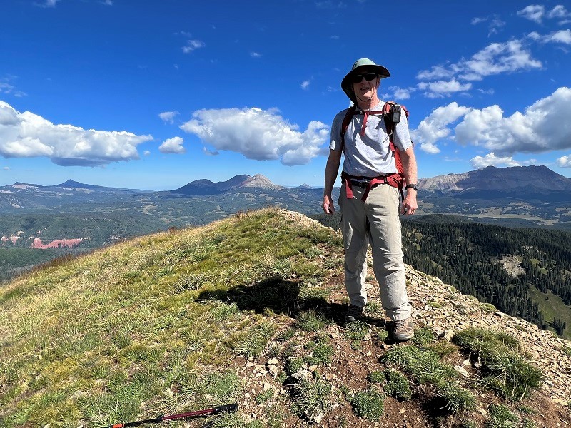
me on the summit of elliott mountain (photo by brian schultz)
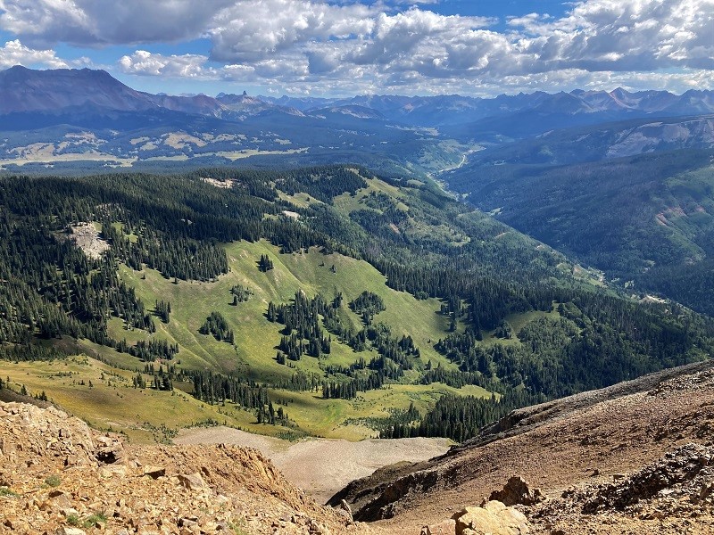
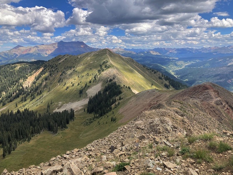
view to the northeast from the summit
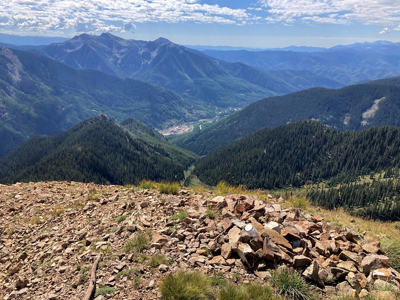
view down to the town of rico on highway 145
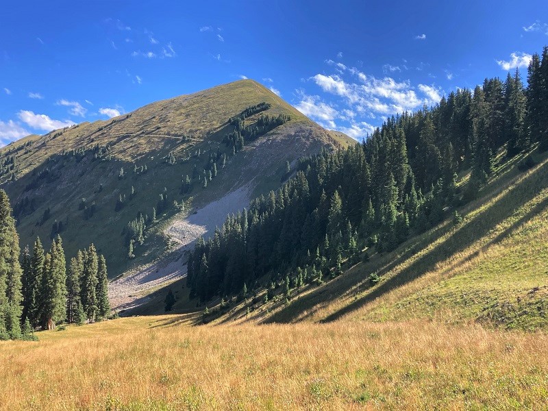
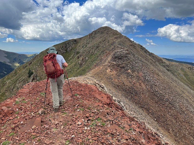
sockrider peak, in the center, our next objective
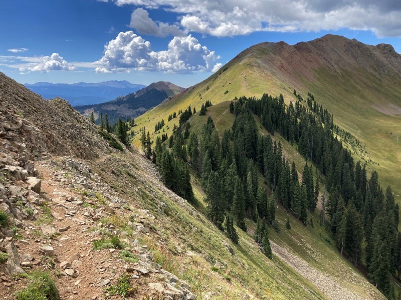
We didn’t relish going back down the steep slope to the trail that we came up so we hiked down the peak’s north ridge a ways and chose a slightly less steep descent back to the trail. We followed the trail back south to the saddle and then followed another trail right along the ridge to the summit of Sockrider.
back on the trail below elliott on the way to sockrider
a beautiful place on a beautiful day
on the ridge up to sockrider peak (photo by brian schultz)
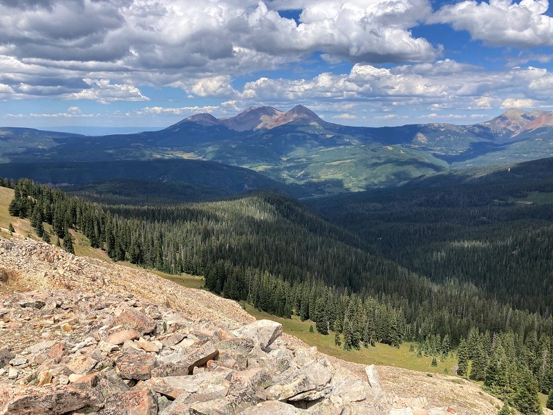
In short order we arrived on the summit of Sockrider about noon. I noted that the air was so clear today, especially to the west, that we could see very distant peaks in Utah and even Arizona.
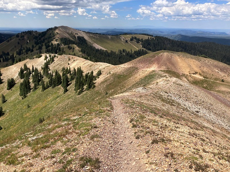
view to the southwest from sockrider. we continued along the ridge at the right.
looking back at elliott, in the center. the wilson group is to the left in the distance.
After our break on Sockrider we continued on the trail along the ridge to the southwest.
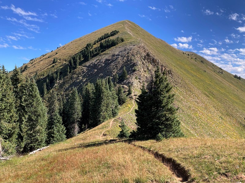
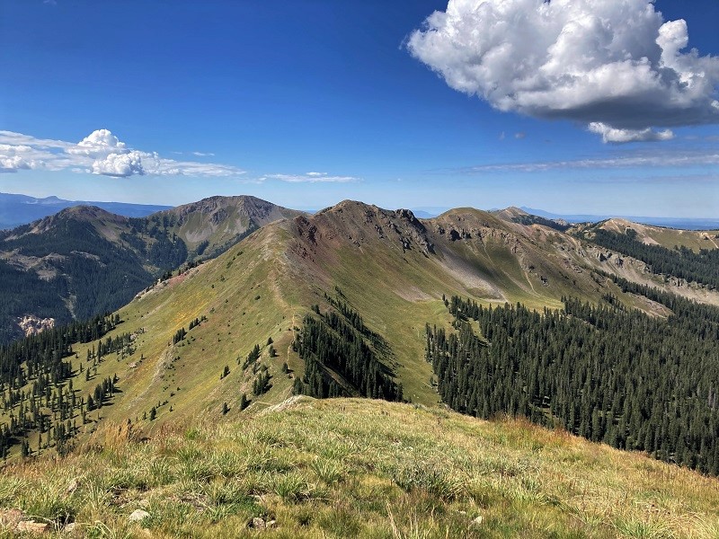
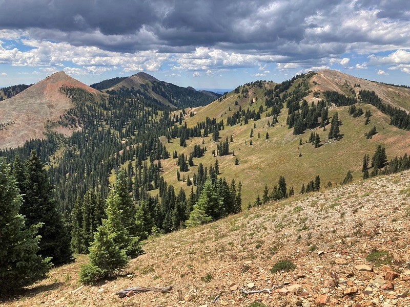
it was fun hiking along these scenic ridges. johnny bull mountain is to the left.
Several other 12ers such as Calico and Eagle Peaks were within tantalizing view but were beyond what we cared to climb today. Instead we opted to climb nearby unranked Johnny Bull Mountain, following its easy east ridge a short distance up from the main trail.
calico peak, eagle peak, and johnny bull mountain, left to right
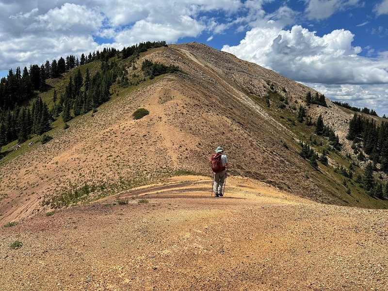
on the way up to johnny bull mountain (photo by brian schultz)
Johnny Bull was another nice summit with excellent views.
brian on johnny bull, with calico and eagle peaks beyond.
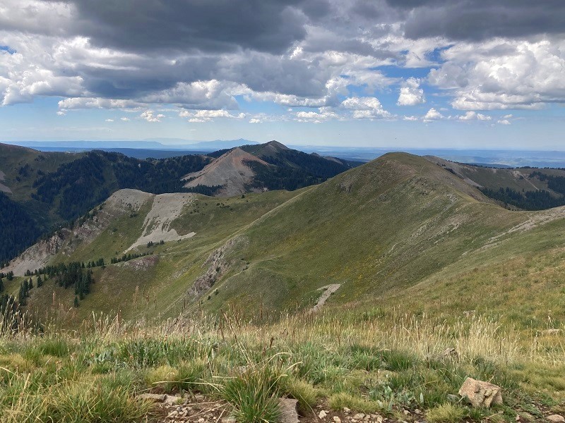
looking back at elliott, left, and sockrider, right

dolores and neighboring peaks, in the center
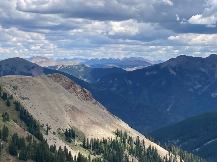
the rugged needle mountains on the horizon
After a nice half hour break on the summit we hiked backed down to a trail junction and took the excellent Fall Creek Trail northward back toward the road. Shortly after we began hiking down this trail we were startled by a very loud crash somewhere in the woods nearby. It must have been either rocks or a tree falling and I guessed it was a large tree. I was reminded of the old puzzle, "If a tree falls in the woods, and . . ." We tramped back to our waiting vehicle at the road about 320 pm and called it a day.