ROUND HILL 11,243’
SHEEP RIDGE 11,674’
June 7, 2021
By Tim Briese
21.4 miles, 3400’ elevation gain, 10:15 roundtrip time
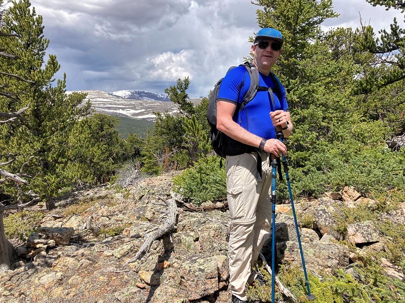
Don’t be alarmed by the statistics for this hike because they vastly exaggerate the distance and elevation gain needed to climb these two peaks. Today I went with my son-in-law Rod to preview the southern loop of the Sheep Mountain 50 Mile Ultra run that he was training to do in August, and we happened to pass by these two ranked 11ers and climbed them.
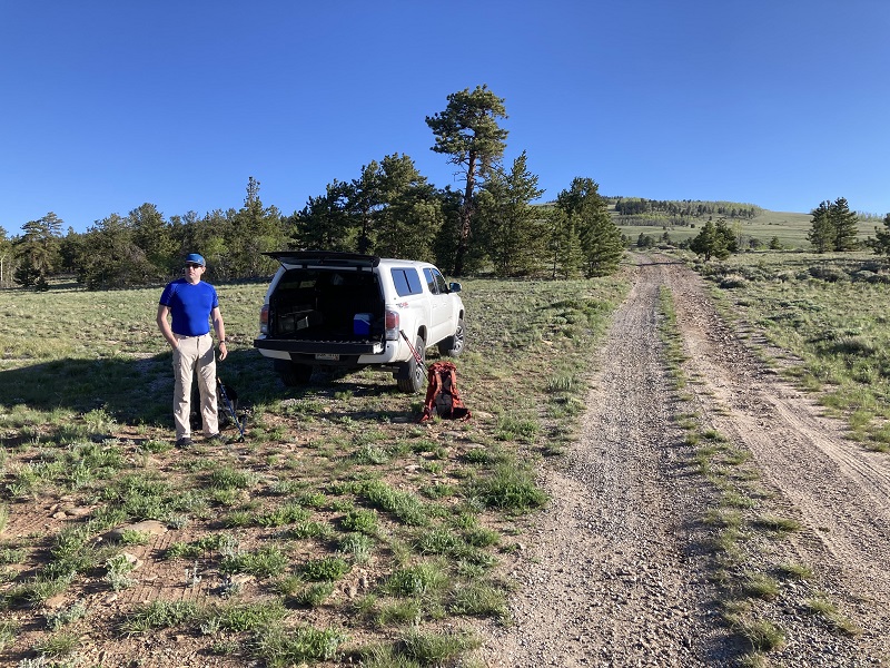
We drove the Weston Pass Road southwest of Fairplay to a point directly south of the prominent Round Hill, right at the slight crest of a hill where an old unmarked road switchbacks up the hill to the north toward Round Hill. We parked here to begin the hike today, at about 9800 feet elevation. Rod’s run would begin and end in Fairplay, covering about 51 miles with about 10,000 feet of elevation gain, and this spot where we started our hike today would be one of the aid stations for the race, at the southern end of the route.
we parked here and headed up the road toward round hill, at the upper right
We took off early in the morning up the old road, rapidly gaining elevation on the open slopes on our way up toward Round Hill. We would be following a combination of trails and old 4WD forest roads all day today. The view of the Buffalo Peaks to the south was magnificent.
view of the buffalo peaks to the south
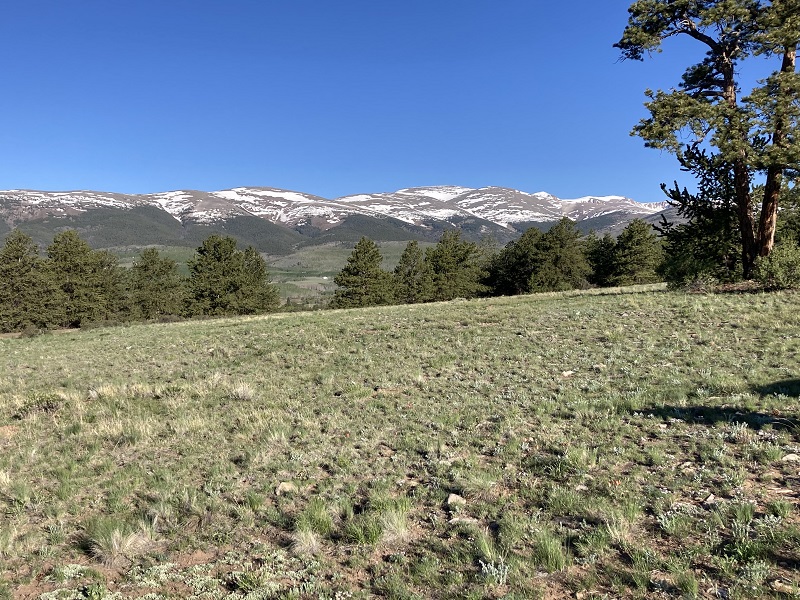
view of the mosquito range to the northwest from the slopes of round hill
After we had climbed about a thousand feet and were about to enter a wooded area, the trail split and we weren’t sure which way the race route would go since it wasn’t marked yet, but we headed to the right toward the summit and ended up bushwhacking through small aspen trees to the top.
on the summit of round hill
From there we found an old forest road that was on or near the race route that we followed down to Breakneck Pass. From the pass we gradually climbed about two miles to Browns Pass, on the Round Hill Road (FR 426) and the Browns Pass Trail.
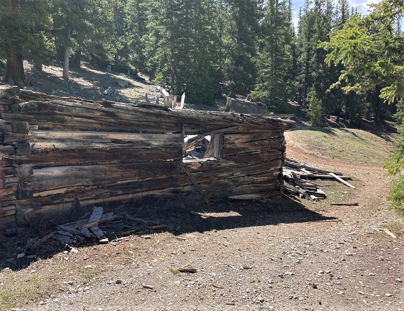
remnants of an old cabin at the start of the browns pass trail
Browns Pass was a key central location for the race route. The route resembled a rough figure eight, with Browns Pass at the center of it and runners going over the pass twice. We were hiking the southern loop of the figure eight today. From the pass Sheep Ridge was less than a half mile to the southeast and about 300 feet higher, and we bushwhacked up there in short order.
on the summit of sheep ridge
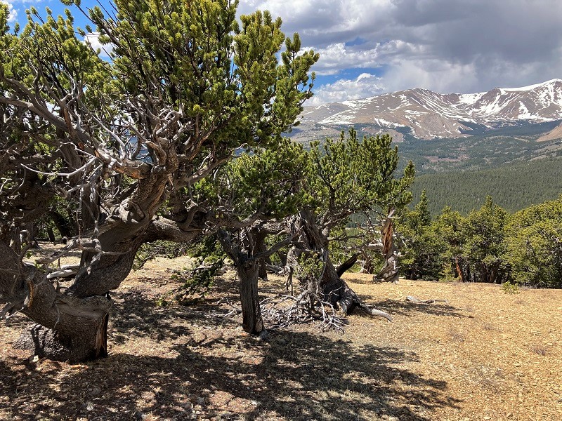
some bristlecone pines on sheep ridge
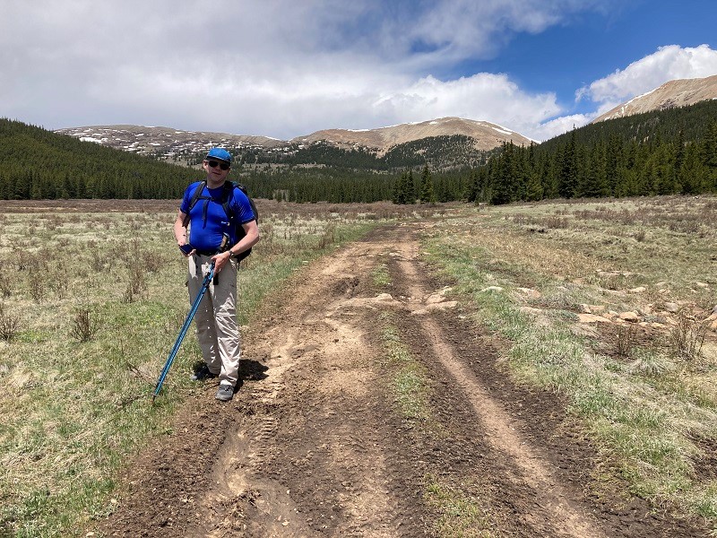
Returning to the pass we hiked steeply downhill to the west on FR 176, then went southeast on FR 175, then west on the Twelvemile Lake Road, FR 173.
hiking down fr 175
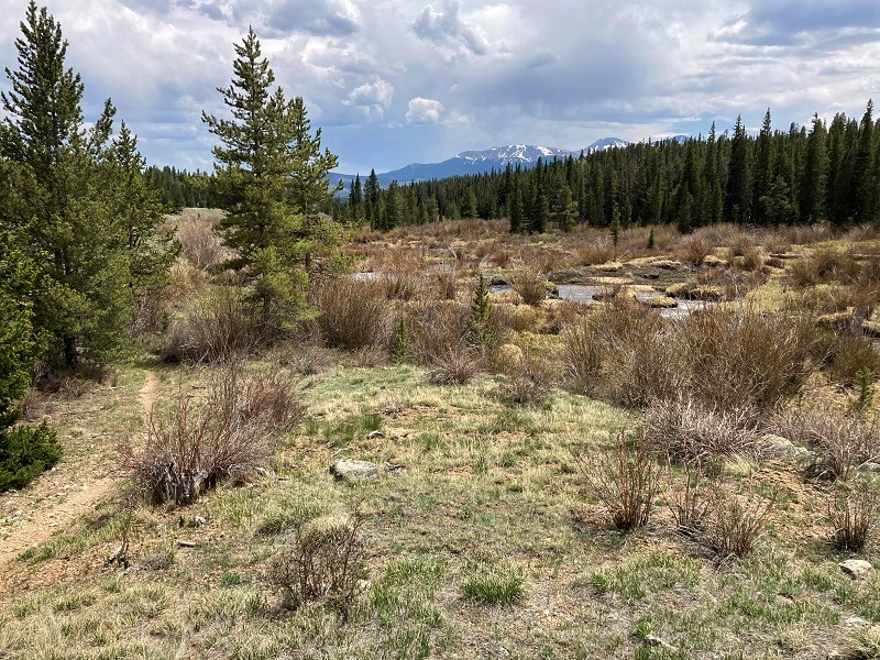
From the Twelvemile Lake Trailhead we hiked southeast on Trail 684 a few miles down the scenic Twelvemile Creek drainage, then went west and south on Trail 645, the Sheep Creek Trail.
hiking past beaver ponds in the twelvemile creek drainage
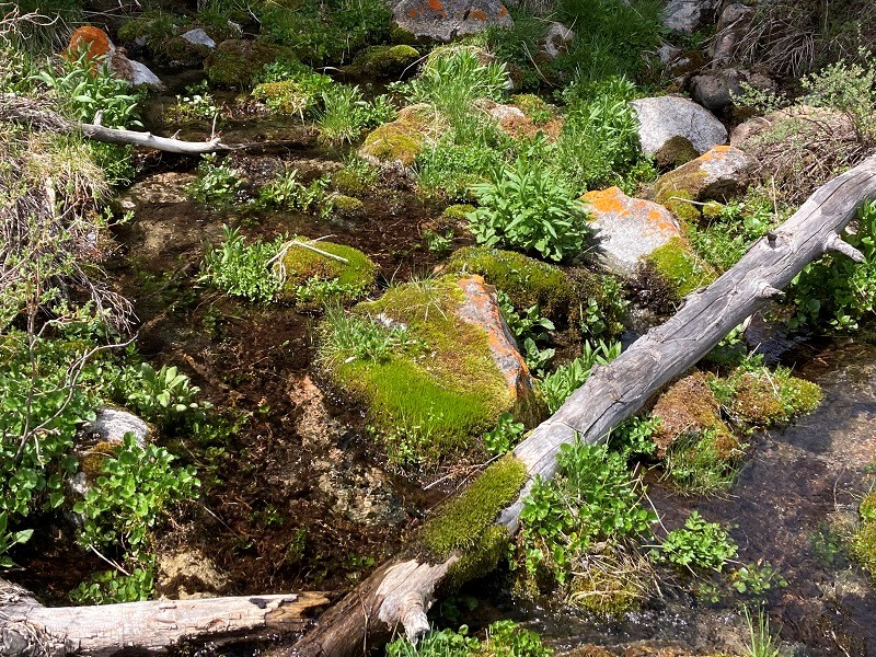
some mossy rocks at a stream crossing
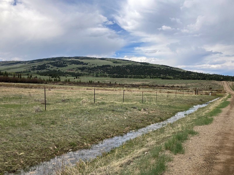
It was great fun today exploring all this country that I’d never seen before, but all the miles were really wearing on me. By the time we finally reached County Road 455 we had covered some 17 or 18 miles and I was spent. I thought about having Rod go on to the truck and come back and get me but nevertheless decided to push on. We hiked down the road and then followed the Weston Pass Road back to the truck.
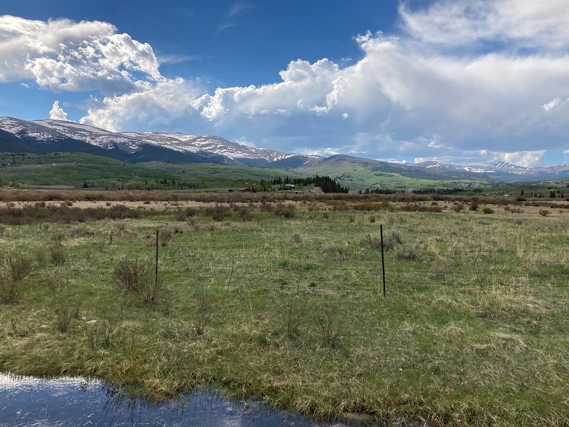
view of round hill as we returned on the weston pass road
round hill is to the right, and sheep ridge is on the distant dark green ridge at left center

we made a long loop back around through the foothills in the photo, right to left
What a welcome sight the truck was! This was a fun but grueling day.