SAN MIGUEL PEAK
(13,752’)July 10, 2012
By Tim Briese
8.4 miles, 3300’ elevation gain, 7:55 roundtrip time
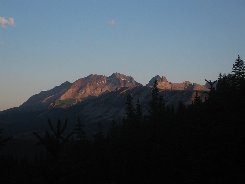
Teresa and I left Ridgway at 4:30 a.m. and drove to the Hope Lake Trailhead south of Telluride, dodging a couple of deer and elk on the road along the way. I had been looking forward to this hike for a while because of the grand scenery it promised. The weather today was forecast to be nicer than it had been in the San Juans for quite a while, too. We hit the trail at 6:10 and hiked briskly up the fine trail toward the lake, admiring the first rays of sunlight on the surrounding peaks.
early sunlight on mt. wilson
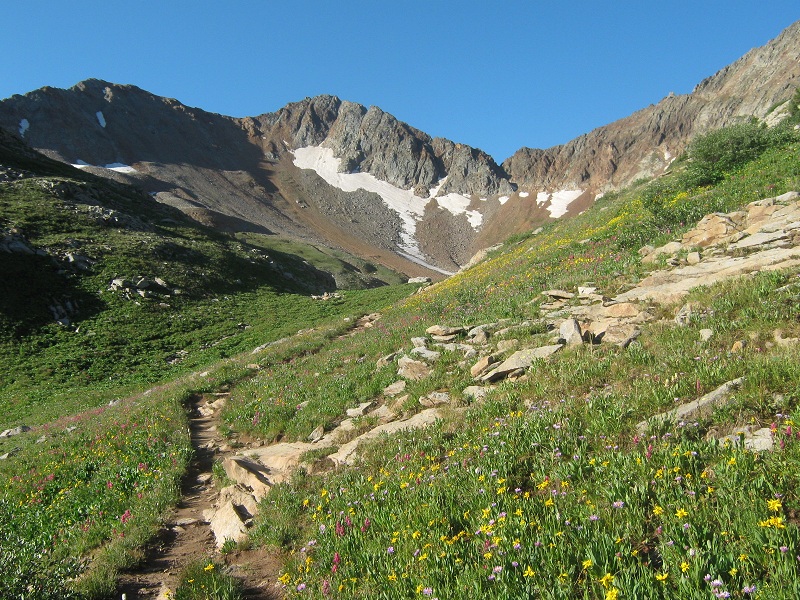
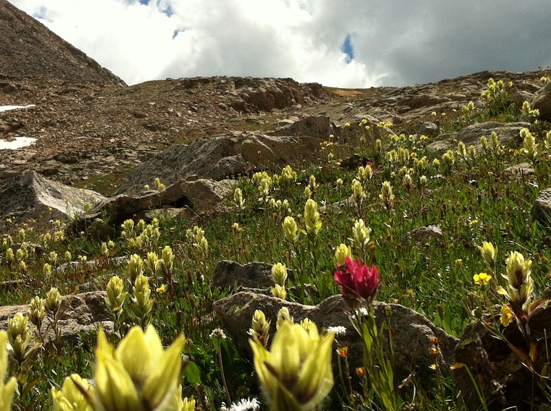
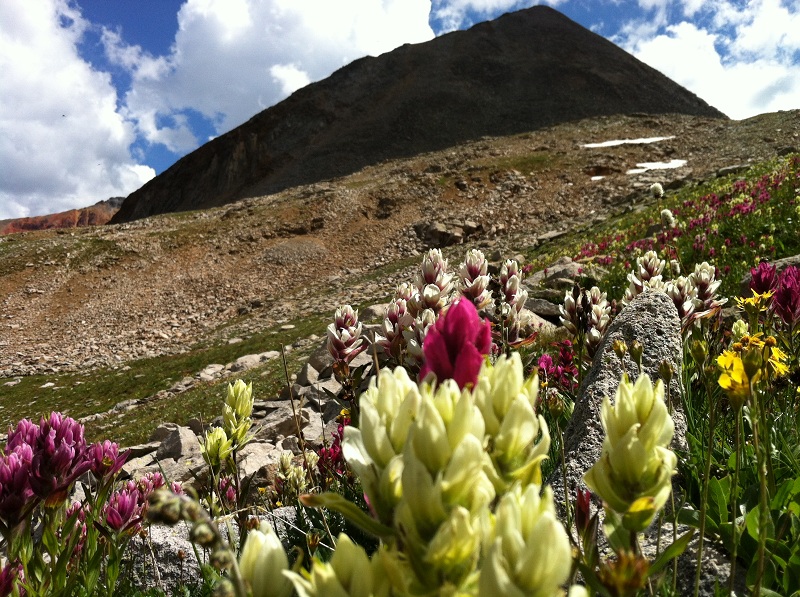
The wildflowers were beautiful in the luscious meadows as we neared the lake.
almost to the lake
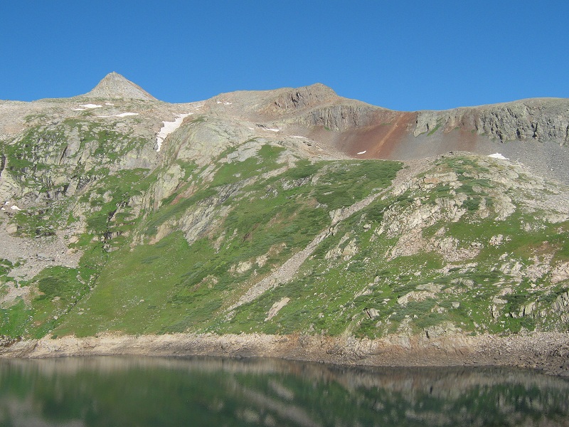
We arrived at the lake about 7:30. The water level was about 20 feet below the lake’s high water mark due to ongoing drought conditions.
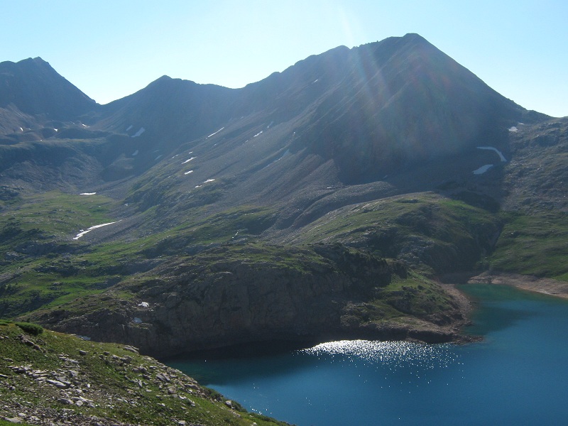
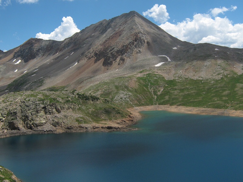
hope lake. san miguel's summit is right behind the rocky point at the upper left.
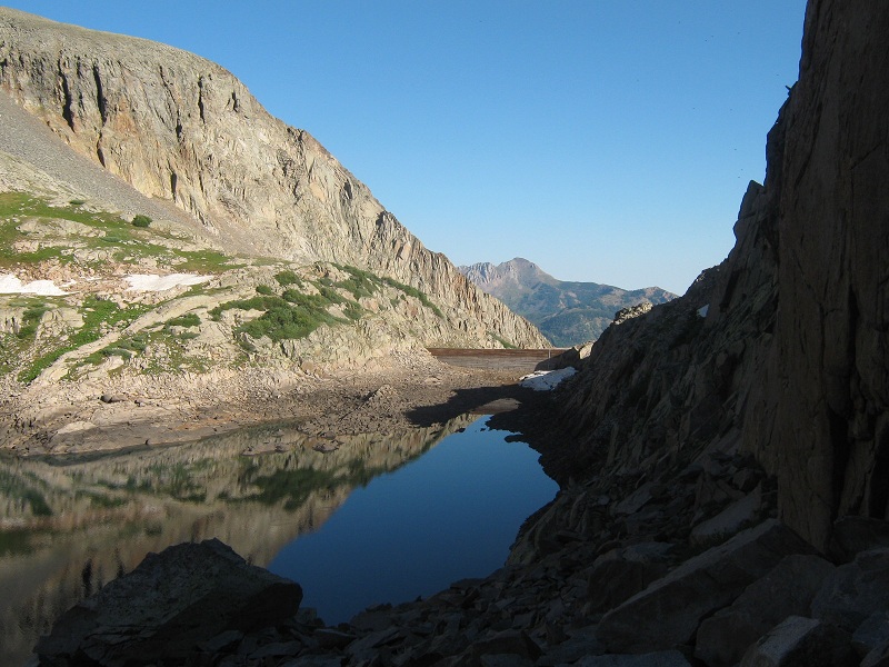
We hiked up over a knoll on the northeast side of the lake and headed toward the dam on the north end of the lake, pausing to take a lengthy break on top of the knoll.
the dam at the end of the lake. note how low the water level is
At this point Teresa decided to stay around the lake to relax and take photos of the wildflowers while I climbed on up to the summit. I walked across the old dam about 8:20 and proceeded to hike up a broad ridge that ran up toward San Miguel, mostly on pleasant grass or easy rocky slopes all the way up to about 13,200 feet.
a view of hope lake and beattie peak as i ascended the ridge
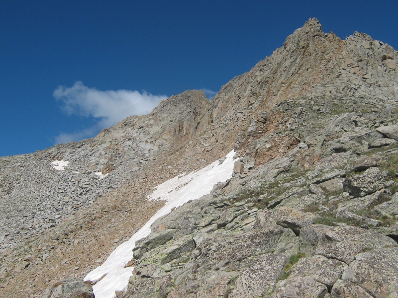
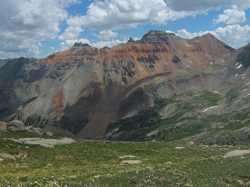
Part way up the ridge I encountered a broad run of icy snow in a gully perpendicular to my route which I circumvented to the right around its upper end. At about 13,200 feet I reached a place on a gentle grassy slope east/northeast of the summit where I was afforded a fine view of the peak’s eastern slopes. I considered going up that way but wasn’t sure if a band of steep slabby rocks I could see about 200 feet below the summit would be manageable. I decided instead to go up to the right around the west side of a rugged point northeast of the summit.
the summit is in the center. i considered going up the slopes at the left but instead went around to the right of the point at the upper right.
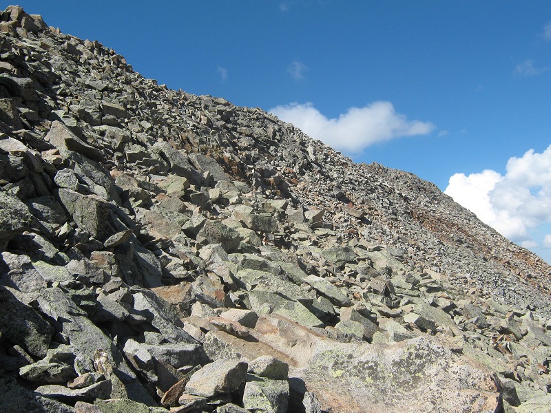
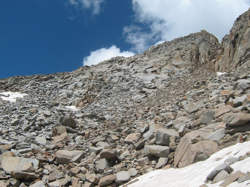
I made an unpleasant traverse across a steep, loose talus slope on the west side of the ridge.
the beginning of the nasty talus slope
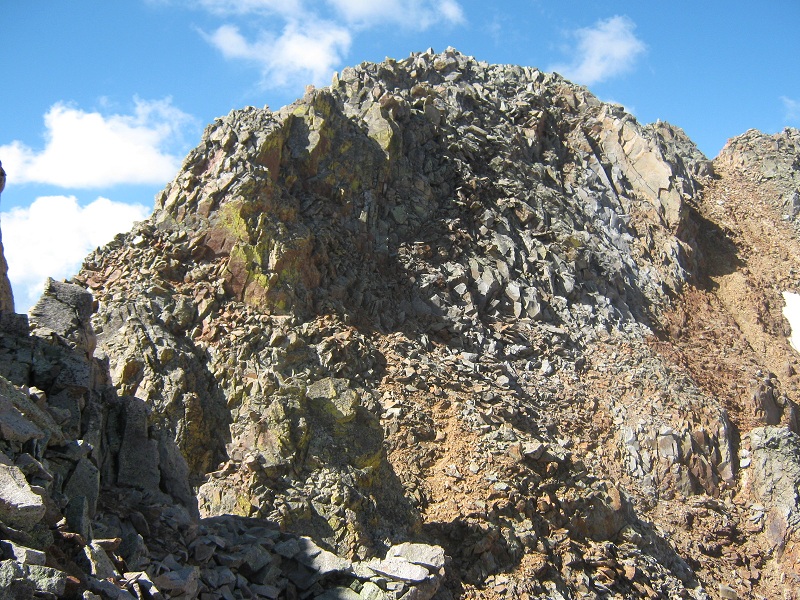
I soon arrived at a notch in the ridge just below the summit. I made a tricky downclimb with my wobbly knees to the notch and then made a direct ascent to the summit up a Class 3+ pitch that I didn’t care for too much because the rocks were somewhat loose. Perhaps there was an easier way to get to the top from the notch but if so it was not apparent to me. At any rate I was thrilled to be there!
view of the summit directly ahead as i approached the notch. i climbed right up the slope in the center.
I arrived on top at 10:45 and reveled in the surrounding magnificent views.
view of pilot knob, us grant, golden horn, and vermillion peak, left to right, and hope lake below
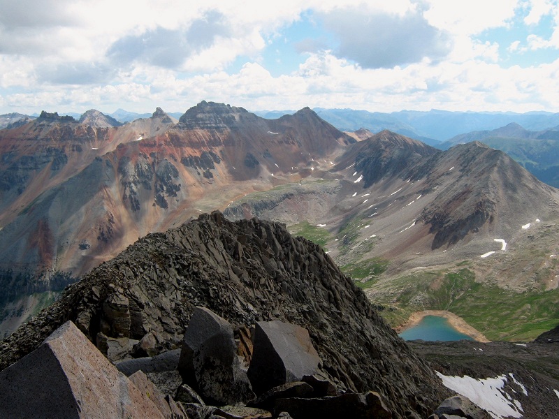
grizzly peak b
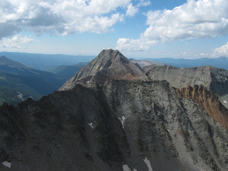
the wilson group
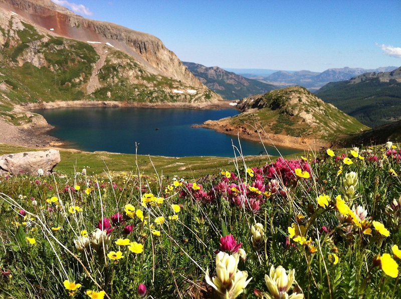
I called Teresa while I was on the summit and she told me that she had taken an exhilarating hike up a trail to a lofty 12,600 foot pass southeast of the lake and was having a magnificent time taking photos of the prolific beautiful wildflowers. I found a newer looking register in a jar but the neck of the jar was so small that I was unable to get the register out so I ruefully gave up on that after a bit! After ten minutes I was ready to depart but didn’t like the idea of going back down the steep, loose pitch on the north side of the summit alone so I started to head down southeast from the summit, revisiting the idea of finding a route on the east slopes of the peak. I was pleased to find evidence of a traveled route and headed right down the east/southeast slopes of the peak, finding the difficulty no worse than easy Class 3. In spite of a fair amount of talus on this route I believe I would go this way if I were to climb the peak again.
looking back up at the slopes i came down from the summit
I worked my way east then northeast back to my ascent route on the grassy ridge and headed back down toward the lake.
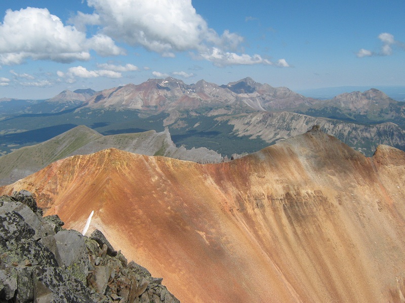
view of pilot knob, golden horn, and vermillion peak on my descent
hope lake and beattie peak. note how far the lake level is below its high water mark.
I decided to go around the south side of the lake to meet Teresa instead of going back over the dam on the north end of the lake. This route was a bit more involved than it looked but it worked and I found Teresa waiting for me on the east end of the lake. She spoke excitedly about the grand and inspiring beauty of creation she had seen and photographed while I was climbing.
one of teresa's many beautiful photos
another of her photos
another of her photos
There were about 30 people strolling about near the scenic lake now. We headed down the trail and passed a large group of family and friends who were jovially hiking down the trail. We returned to the trailhead at 2:05 and headed to Telluride for a late lunch.