SIGNAL BUTTE (9463’)
UN 9518
TRUMAN ROCK
HACKETT MOUNTAIN (9433’)
CEDAR MOUNTAIN (8945’)
August 21, 2025
By Tim Briese
Signal Butte: 1.0 miles, 500’ elevation gain, 55 minutes roundtrip time
I met Brian in Divide and we followed CR 51 north and then FR 363 and FR 362 to the trailhead parking area for Signal Butte.
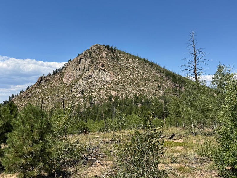
signal butte
We followed a nice trail all the way to the summit. This prominent little peak has commanding views in all directions.
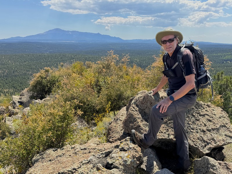
brian on the summit, with pikes peak in the background
a panoramic view to the west

UN 9518: 0.4 miles, 200’ elevation gain, 13 minutes roundtrip time
We returned to CR 51 and continued north and then turned left onto FR 202.1A and followed it a short distance, parked, and walked on an ATV track up to the summit.
brian on the highpoint of un 9518

This climb was merely a short stroll.
Truman Rock: ~200’, 50’ elevation gain
This is not a ranked peak but just a cool rock formation. We continued on FR 202.1A a short distance and then walked up to Truman Rock and made a fun scramble to the top.
truman rock

brian at the highest rock, with un 9518 in the background

a nice view from truman rock

Hackett Mountain: 0.9 miles, 400’ elevation gain, 40 minutes roundtrip time
We continued north on CR 51 and parked a short distance east of the peak and made an easy bushwhack to the summit.
brian on hackett mountain

Cedar Mountain: 1.6 miles, 600’ elevation gain, 2:10 roundtrip time
This was our lowest elevation peak of the day but the most time-consuming and challenging. We continued further north on CR 51 and the road became sketchier with some deep ruts on steeper sections that had to be carefully avoided.
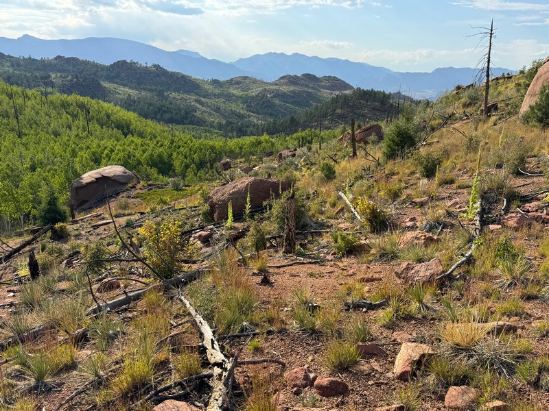
a view of cedar mountain as we approached

We expected an easy climb but soon found otherwise. We first had to bushwhack around the south end of the rough looking peak through mixed terrain to gain a trail that goes up its south ridge.
we hiked across this sort of terrain around the south side of cedar
We thought we had it made when we first got on the great trail but the trail soon degenerated into a cairned route as it wound up through rugged terrain on the south side of the peak with some fun class 3 scrambling.
the trail all but disappeared but was marked with cairns

We reached a rough notch with a ladder that we climbed to gain the summit area.
we had to climb the ladder at the lower left to get to the summit, where the cross is located


the ladder seemed somewhat rickety to me but it was sturdy enough

There was an interesting cross on the highest point.


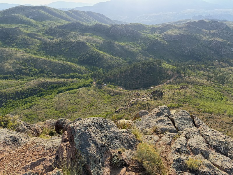
This peak had commanding views in all directions.
a view toward the distant lost creek wilderness

our trucks are parked along the road near the center of the photo
The day was getting late and we hiked back down with some urgency. We got back to our trucks around sunset and drove back to Woodland Park in the dark.