SOUTH ARAPAHO PEAK
(13,397’)"OLD BALDY"
(13,038’)August 27, 2015
By Tim Briese
9.9 miles, 3600’ elevation gain, 7:50 roundtrip time
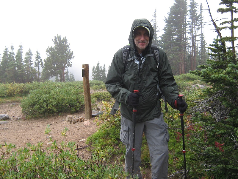
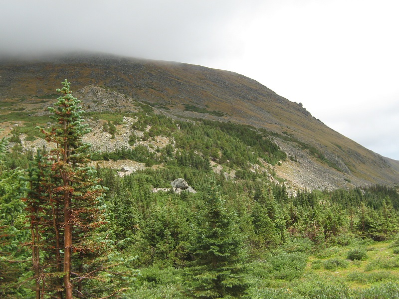
Brian and I planned to climb North and South Arapaho Peaks along with Old Baldy today, but the weather forecast was terrible, with rain and wind called for in the mountains most of the day. We decided to just head out and see what we could do, hoping for improvement in the weather as the day went on, and being prepared to turn around and abandon the climbs if necessary. I had climbed South Arapaho many years before, but not North Arapaho, and looked forward to hopefully climbing it today. We headed for the Fourth of July Trailhead west of Nederland to begin the climb. The upper part of the road to the trailhead is a little rough but accessible for 2WD vehicles. We saw a few yellow aspens along the road already, even though it was still August! The trailhead lies at about 10,170 feet elevation. It was cloudy and windy when we began the hike at 7 am, and some sprinkles were falling from the sky, not exactly the kind of conditions one hopes for to start a mountain climb. We hiked steadily up the Arapaho Pass Trail, with a cold wind and intermittent rain falling, and after about two miles came to a trail junction at the Fourth of July Mine, at about 11,250 feet. Along the way we met a fellow with a dog coming down who had given up and turned around because of the conditions. At the junction we took a short break and I put on my second coat and rain pants.
at the trail junction
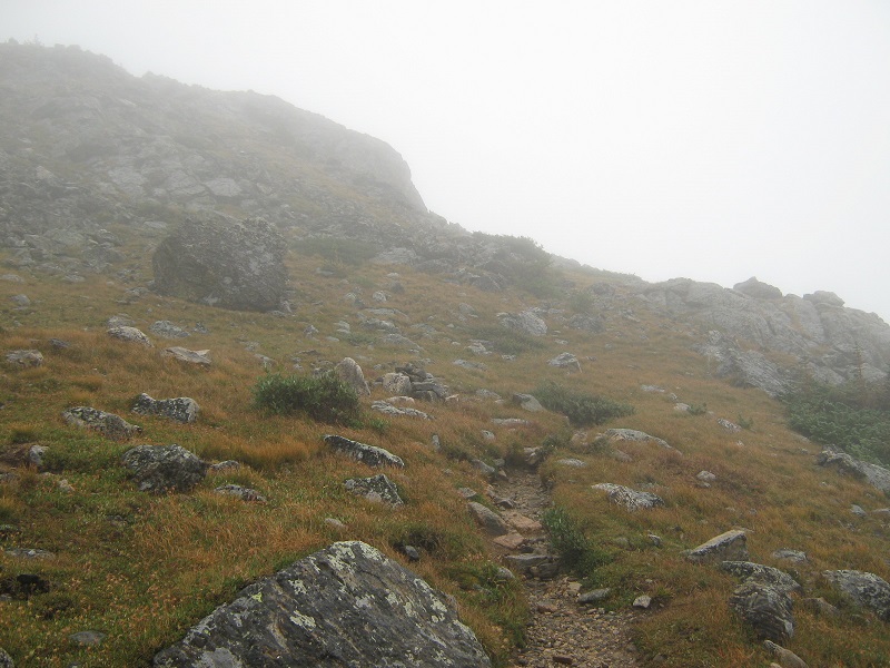
Then we headed up the Arapaho Glacier Trail. We were in the fog now and soon left the comfort of the trees. It was very windy most of the time, although the wind graciously let up for a bit now and then.
on the arapaho glacier trail in the fog
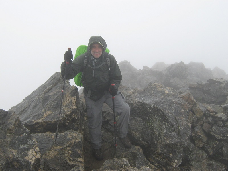
The excellent trail switch-backed all the way up the south slope of South Arapaho to the 12,700 foot saddle between that peak and Old Baldy. We arrived at the saddle at about 10 am. It would have been difficult to do this climb in such poor visibility without a nice trail. Lashed by wind and rain, we headed up the rocky ridge to the northwest toward the summit of South Arapaho, which was invisible in the fog. We found a reasonable route up through the rocks that involved a Class 3 move or two. The best and easier route was actually a little to the left but we could not see it because of the poor visibility. We arrived on the windswept summit at 1040.
on the summit of south arapaho
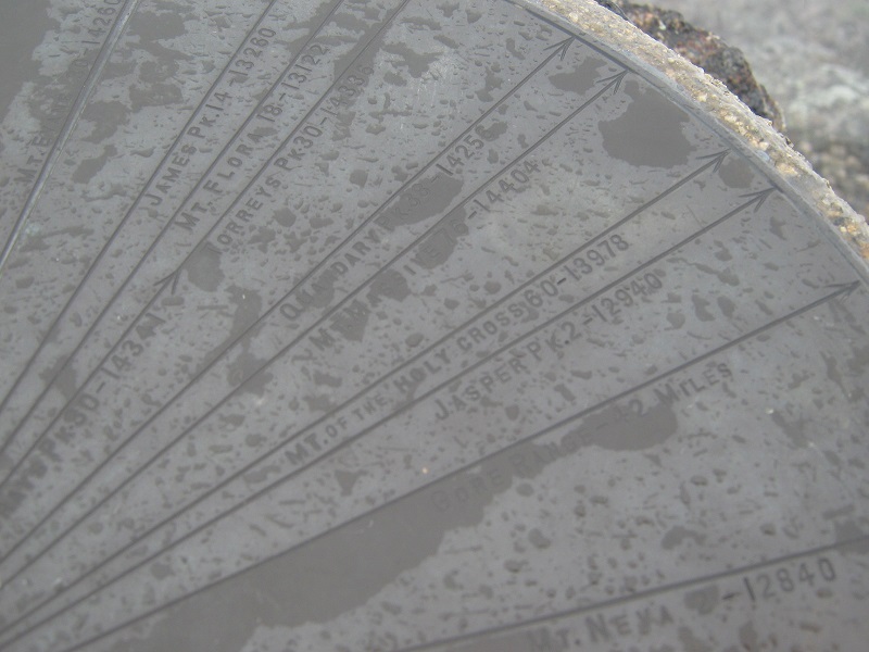
There was an interesting plaque on the summit which pointed out the bearing and elevation of distant peaks that could be seen on clear days. It had obviously been there quite a while because many of the elevations listed were different from elevations accepted today.
the plaque on the summit

note the elevation shown for the 14er mt. of the holy cross - 13,978' - it was not a 14er then!
North Arapaho was only 0.8 miles away, on the other end of a Class 3 ridge that was invisible to us. We decided to continue with the plan of the day, and just give it a try and see what happened. The first 0.1 mile was pretty easy but then we got into considerably rougher terrain on the ridge. We got into some tricky Class 3 climbing, guided by orange arrows painted on the rock.
some of the class 3 climbing on the ridge
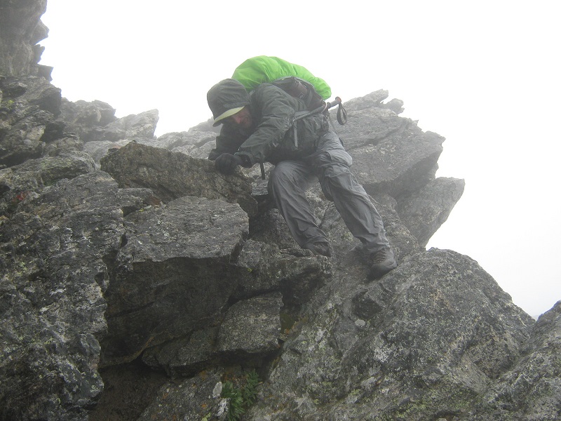
When we looked at the next move ahead, with some very exposed climbing near some rock towers, we decided that it was time to give up and turn around. It was raining and windy, with visibility of no more than 50 feet, with slippery wet rock. Besides that, rain on my glasses was hampering my ability to see. It was a no-brainer to turn around!
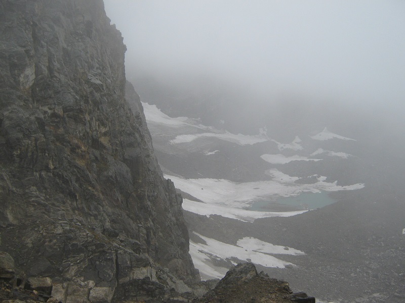
a slight break in the clouds revealed some of the exposure on the ridge
We quickly retraced our steps to South Arapaho, and found a little easier route back down to the saddle. We took a 15 minute break there behind a rock out of the wind to regroup. What a miserable day for a climb! Then we headed east up a gentle grassy and rocky slope to the broad summit of Old Baldy, which took only 15 minutes to reach from the saddle. It would have been impossible to find the summit in the fog if not for the waypoint that Brian had set for it in his GPS. Then we beat a hasty retreat back to the saddle and down the trail. Some distance before we got to the junction at the Fourth of July Mine we met a guy coming up the trail in sandals, who remarked that it was beautiful out here, in spite of the weather. Somewhat oddly, I thought, I had to agree. As we continued down the trail conditions improved a little, with the rain showers becoming intermittent and the cloud ceiling lifting to about 12,000 feet.
conditions were a little better down lower
We met several casual hikers on the lower part of the trail, and the sun came out at times and I almost dried off. Just when we got to the trailhead at 250 though, another heavy shower of rain began to fall.