SOUTH COYOTE BUTTES, AZ
February 5, 2021
By Tim Briese
7.9 miles, 1000’ elevation gain, 7:20 roundtrip time
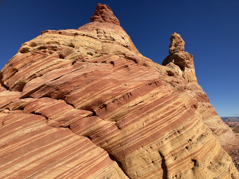
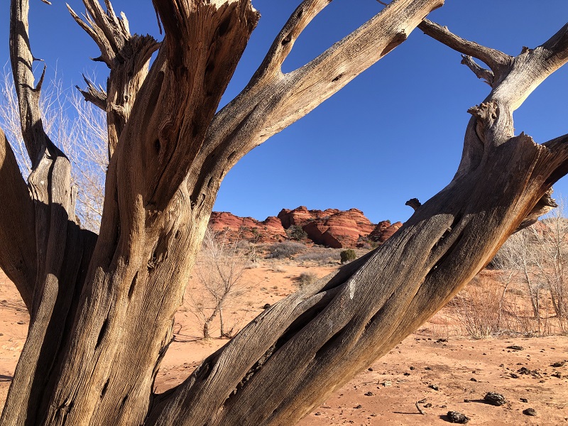
South Coyote Buttes is an incredibly scenic place in far northern Arizona just a few miles from White Pocket which we visited in January. It is an area of amazing sandstone formations in an imagination-defying array of shapes, colors, and forms. The internationally known geological formations found here on the Paria Plateau are some of the most stunning that can be seen anywhere. We were so enamored with White Pocket that we had to go see this amazing place too. Permits are required in advance to visit here which we obtained online a couple of days before. Only 20 visitors per day are permitted into the area, but we had no problem obtaining permits at this time of year.
We left Page in the dark early in the morning and followed US 89 and 89A over Marble Canyon and turned right onto the dirt House Rock Valley Road.
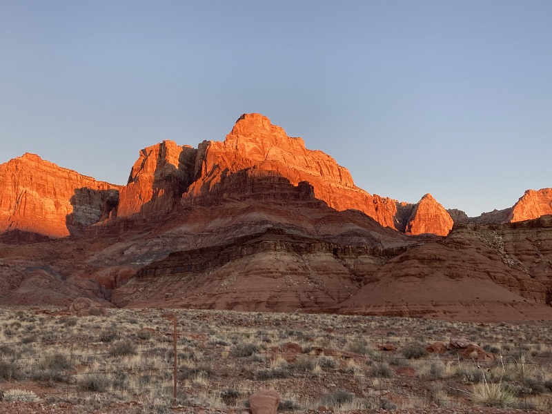
early sunlight on the vermillion cliffs from us 89a
After 9.2 miles on the House Rock Valley Road we turned right onto BLM 1017 and followed it 3.1 miles. The road was 2WD drive to this point but from then on it was deep sand and some sharp rocks which definitely required 4WD. We had our sand driving gear along as we had for White Pocket just in case.
an example of the deep sand we drove through
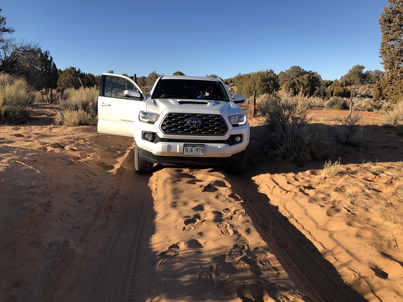
I drove in high range 4WD all the way and kept moving through the sand to avoid getting stuck. We followed well-marked BLM 1066, 1081, and 1082 about 9 miles to the Cottonwood Cove access point for South Coyote Buttes. It took about two hours to get here from Page. There was one other vehicle parked here this morning. This is a very remote place and it is a real adventure to get here so come prepared.
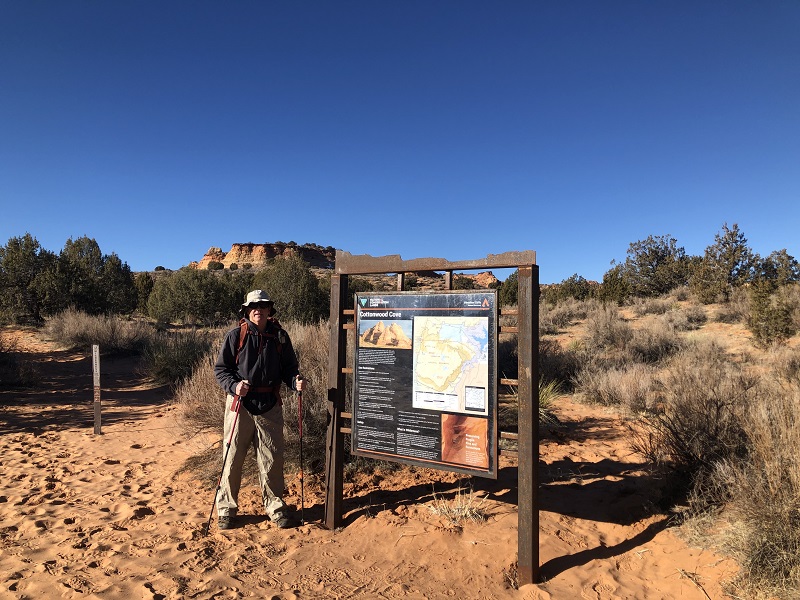
It was clear and chilly this morning with a stiff wind blowing out of the west so we dressed accordingly.
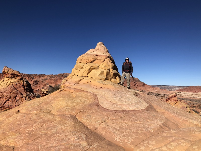
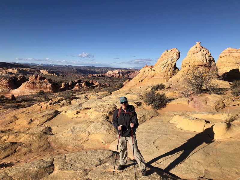
at the trailhead
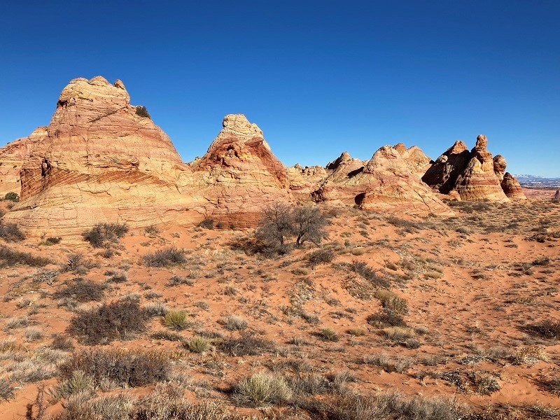
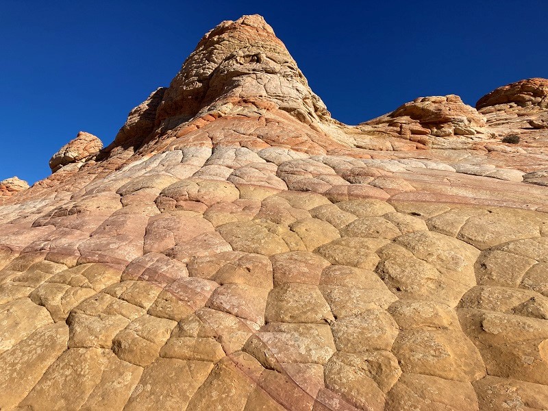
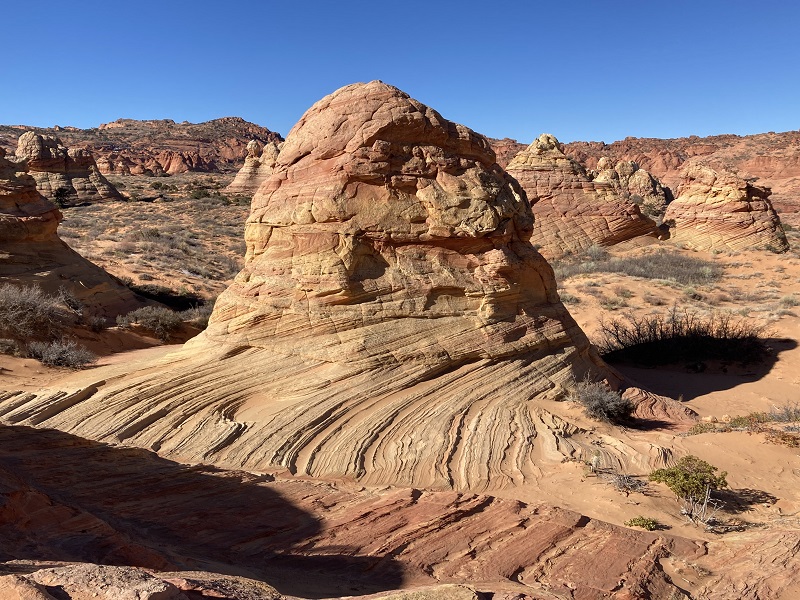
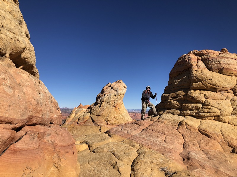
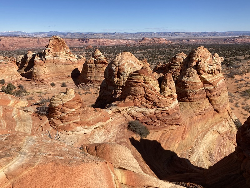
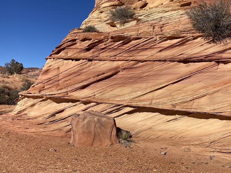
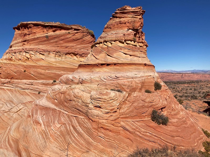
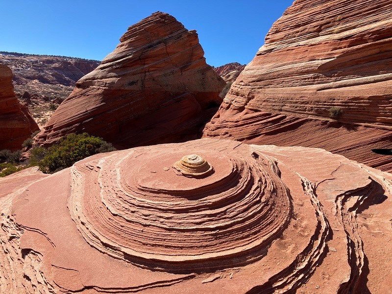
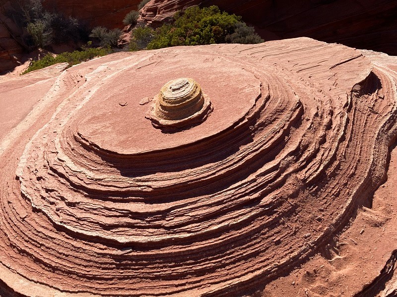
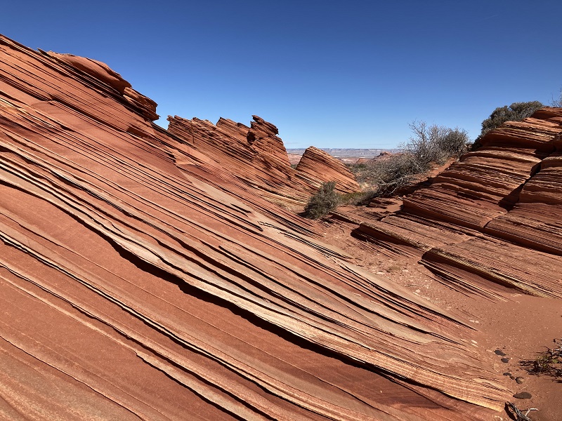
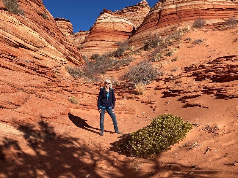
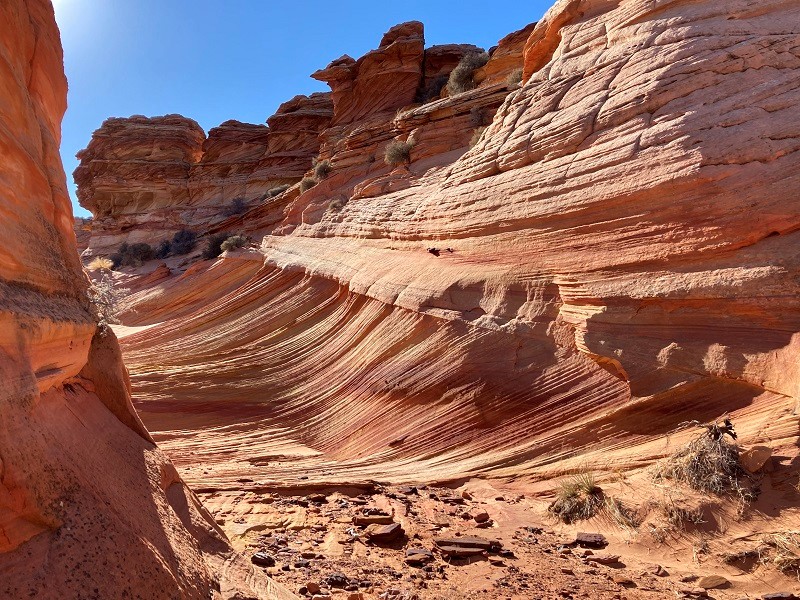
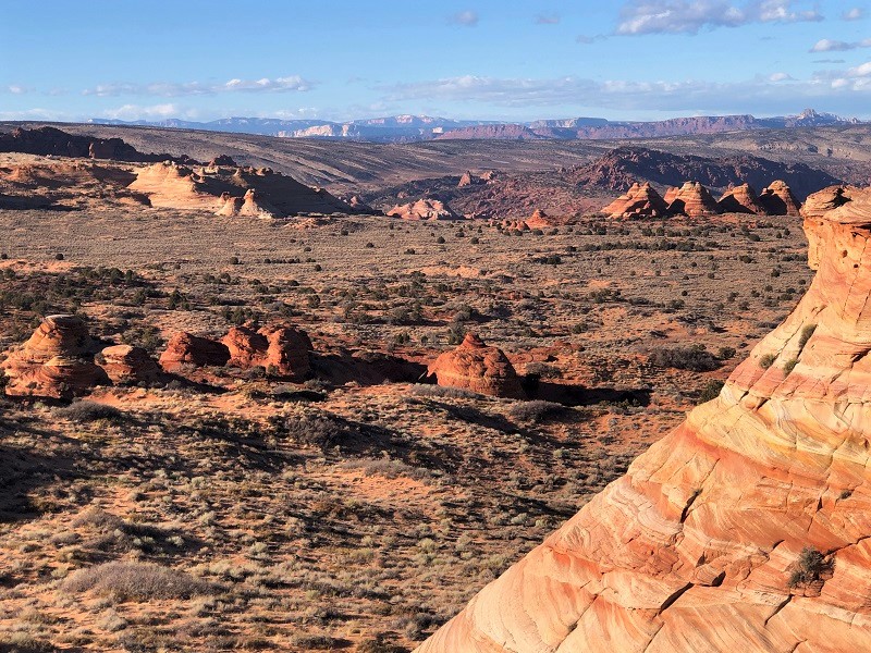
We followed a sandy trail to the west over a half mile to the start of the formations and spent the rest of the day wandering around exploring, in a state of exhilaration and awe. The colors and shapes are spectacular. There are no trails or routes, just freeform exploration.
approaching the formations
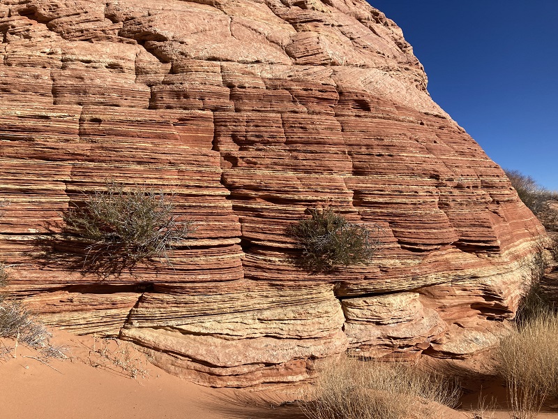
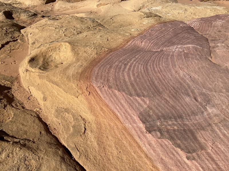
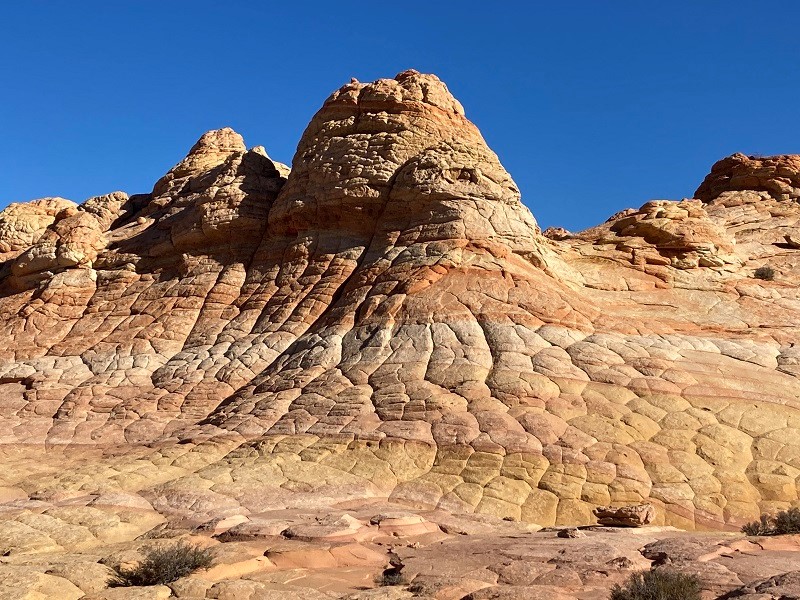
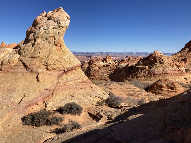
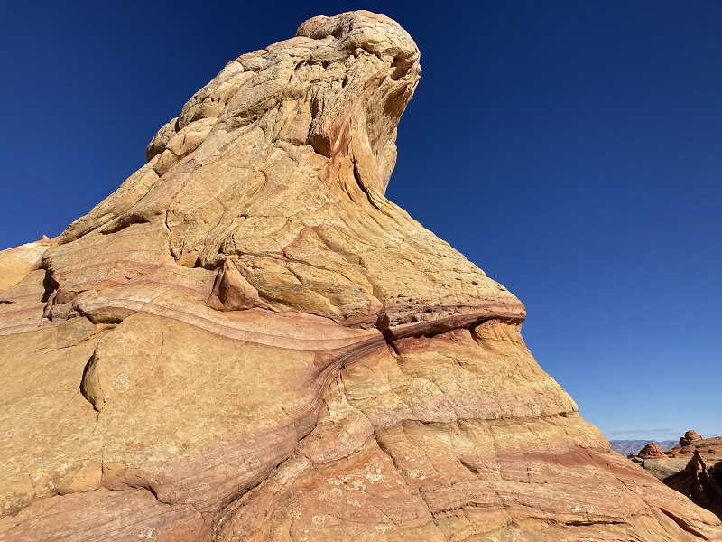
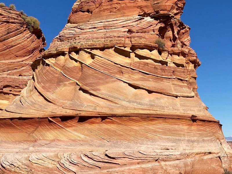
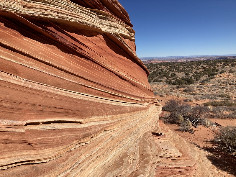
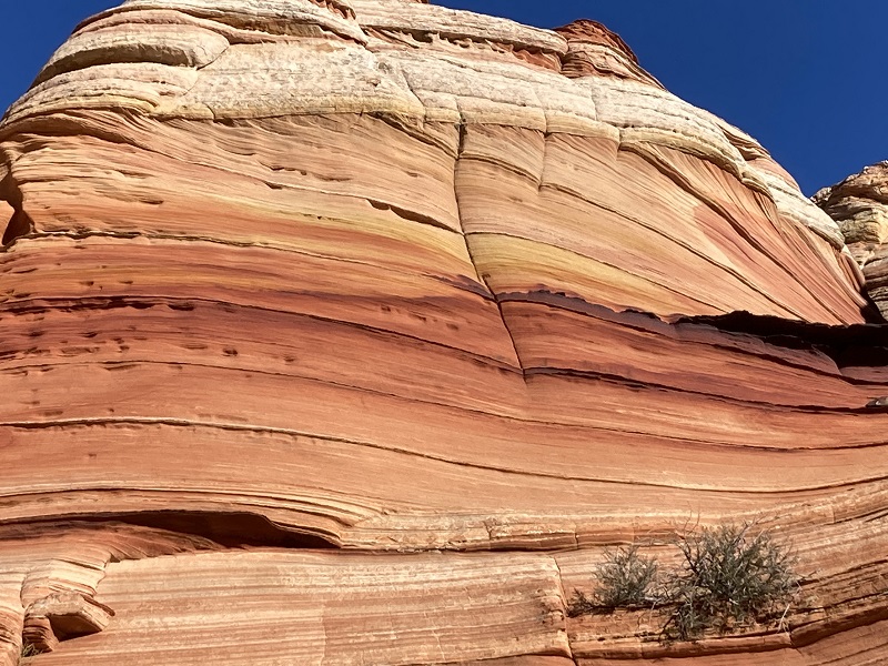
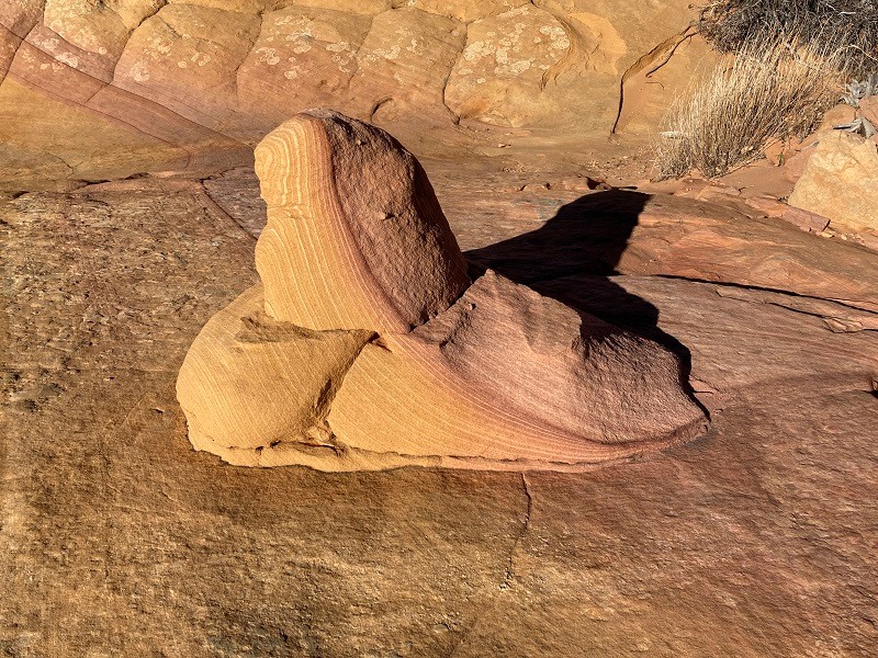
some brain rock and colored layers
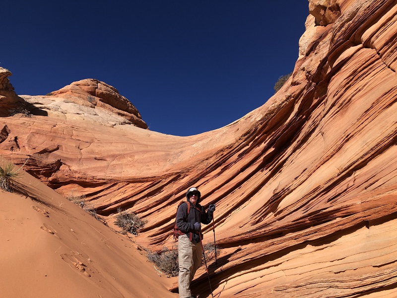
Eventually we crossed a sandy drainage to the west and hiked up into a different array of formations. Fortunately the cold wind was easing up a bit by now.
we hiked across the drainage to go check out those formations over there
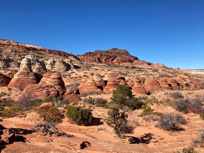
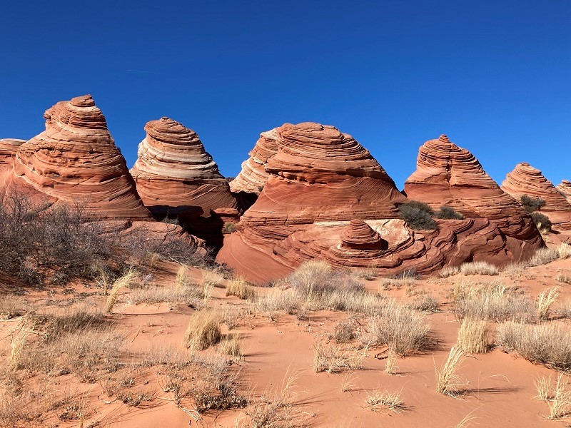
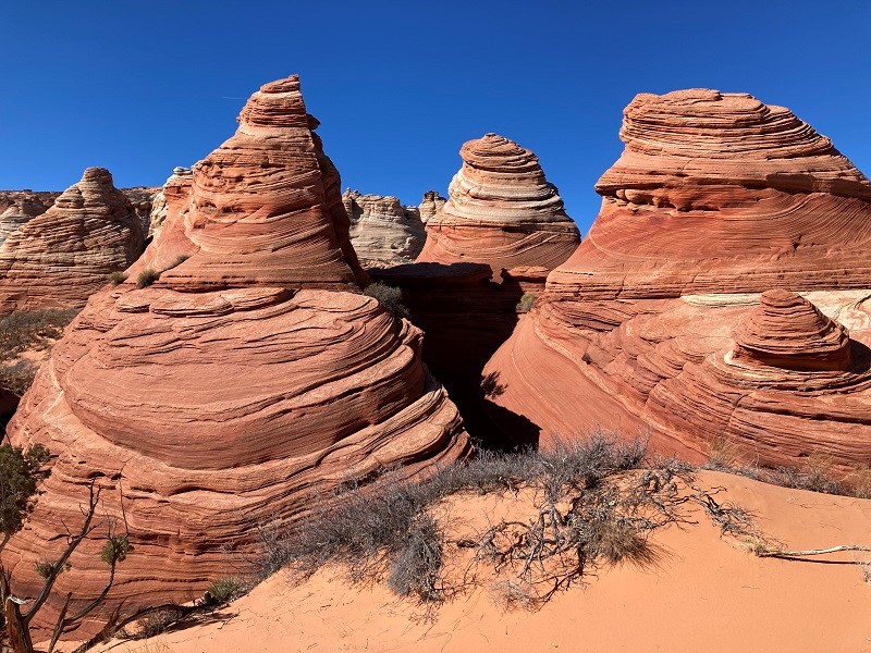
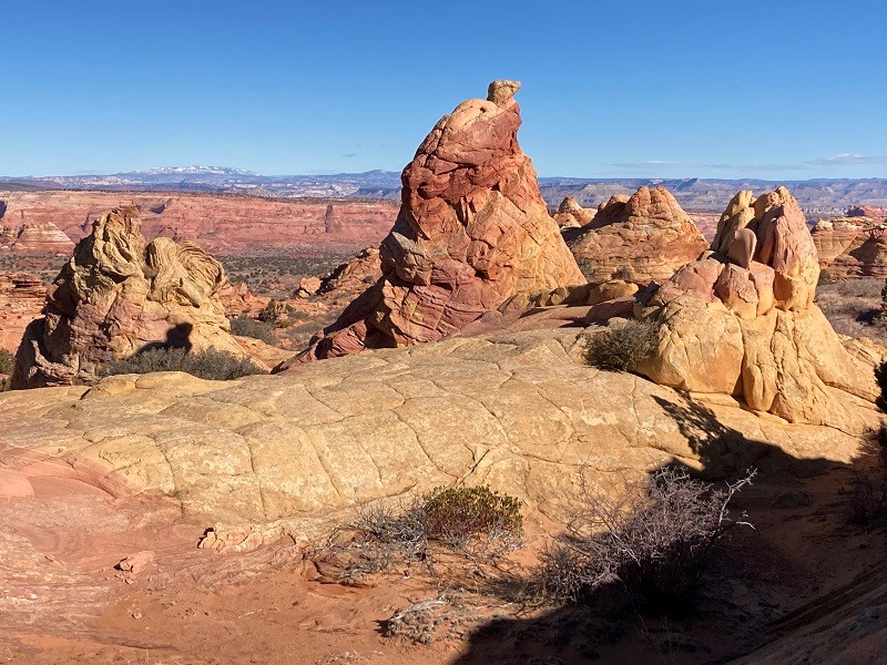
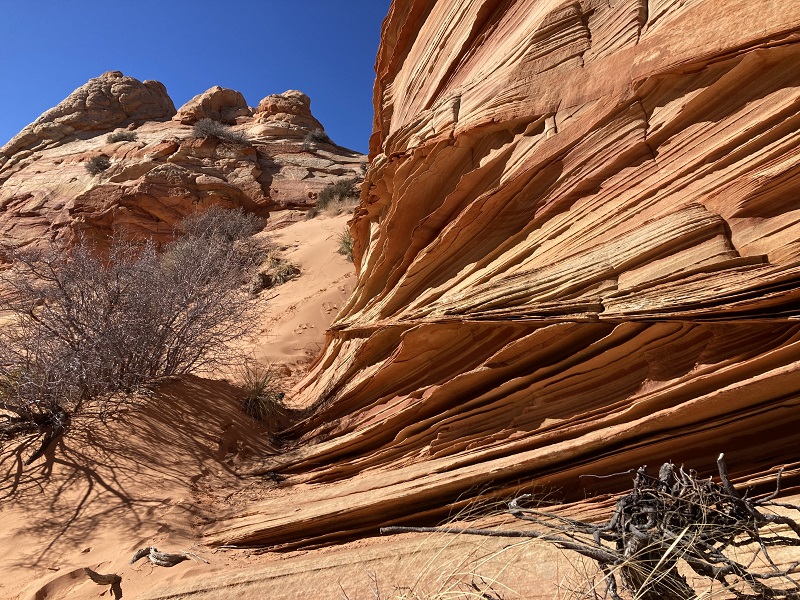
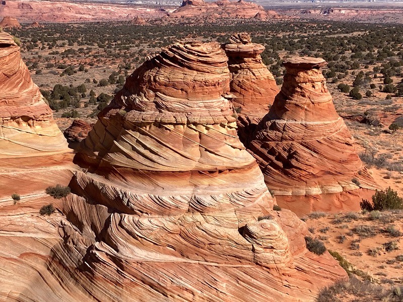
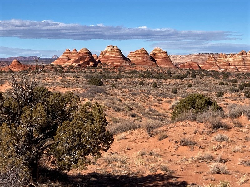
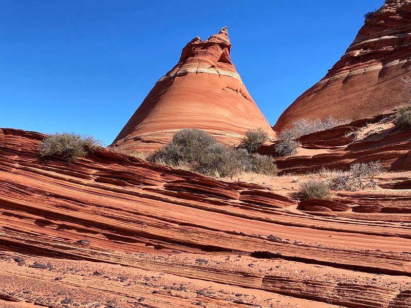
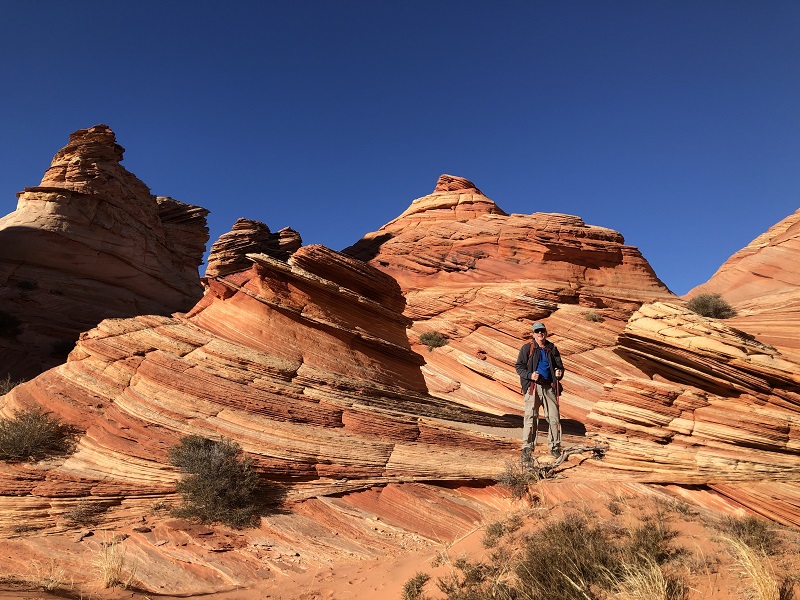
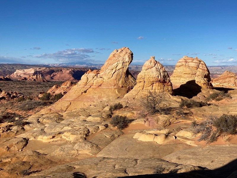
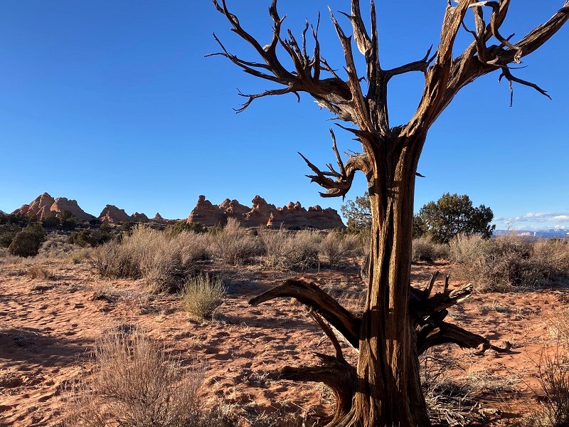
Then we hiked about a mile and a half north through sagebrush to explore a cluster of teepee-like formations.
we hiked over to see these tepee-rocks
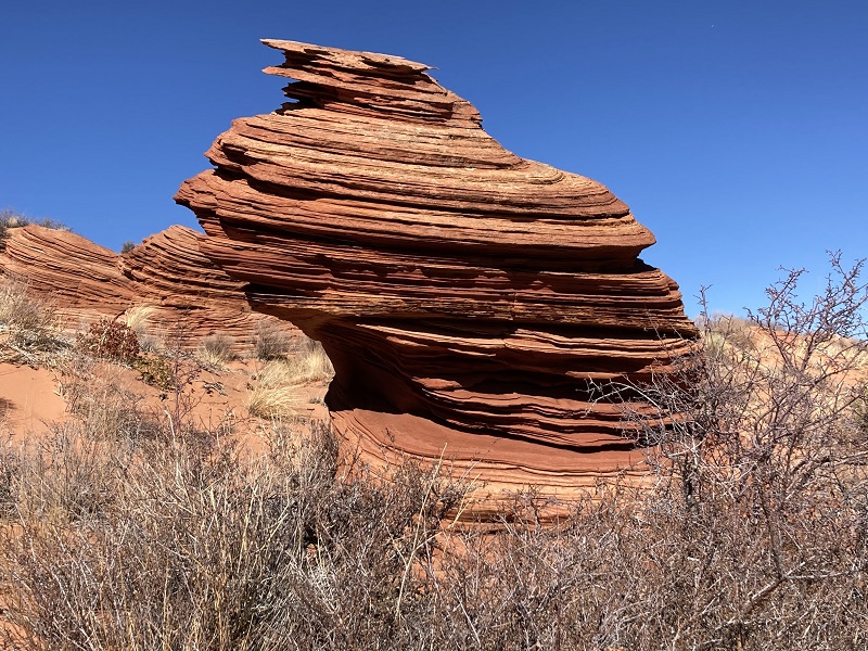
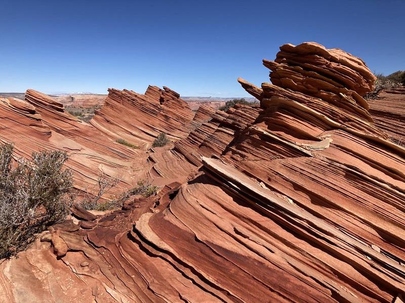
Then we returned to the main area and found more to see that we had not seen in the morning. We saw two or three other pairs of hikers wandering around exploring the formations in the afternoon.
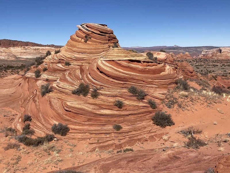
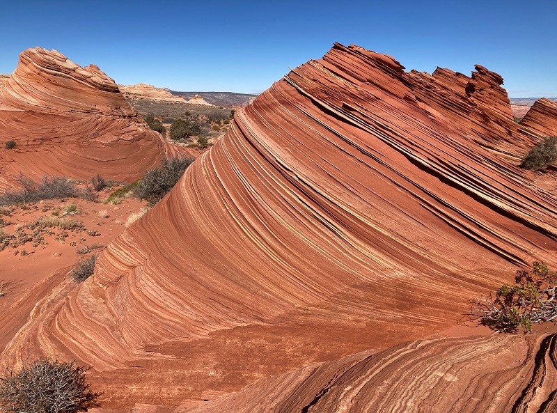
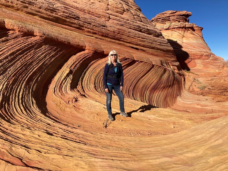
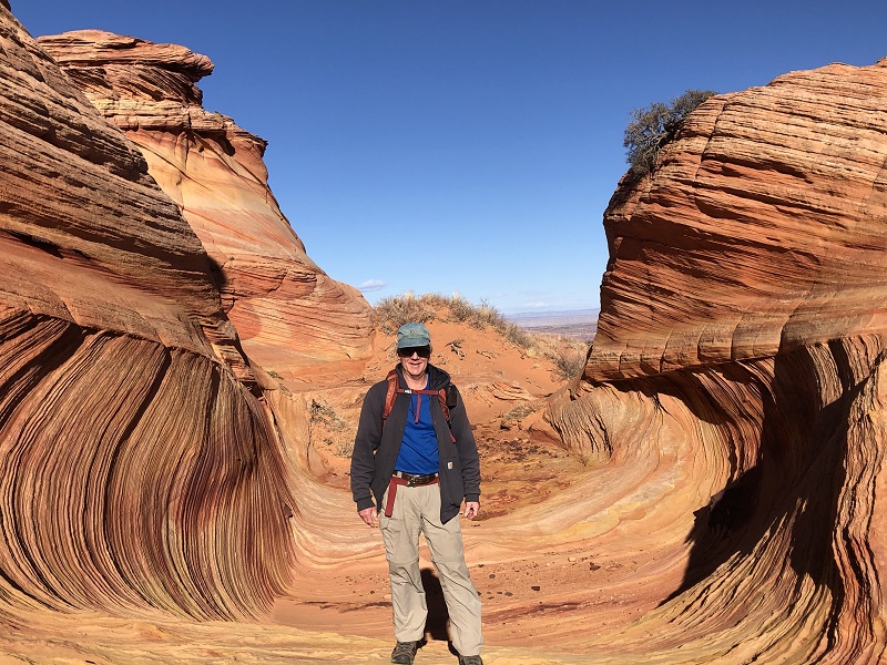
We discovered a scenic hollow that reminded us of the internationally famous Wave in North Coyote Buttes.
this reminded us of photos we have seen of the wave, on a much smaller scale
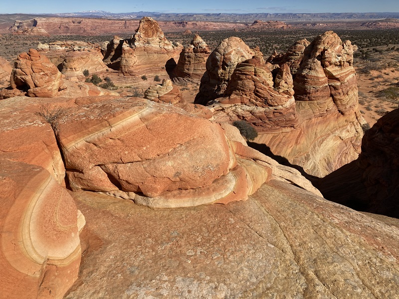
a vista to the northwest
Eventually we headed back to the truck as the sun was sinking low.
looking back toward the formations as we hiked back
We left the trailhead about 440 pm and drove back to Page that evening, concluding an incredible day!