SOUTH PEAK (12,892’)
June 11, 2020
By Tim Briese
4.8 miles, 1000’ elevation gain, 5:05 roundtrip time
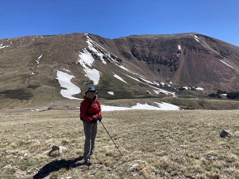
In all of my mountain climbing in Colorado over the past 25 years I have seldom seen a peak that offers so much for so little as South Peak near Weston Pass – a good access road to almost 12,000’, endless expanses of tundra to stroll upon, maybe an elk herd to watch, and sweeping scenic views after one saunters to the top. I first climbed it in 2019 and came back now to take my wife Teresa up there.
We drove the nice road up to 11,921’ Weston Pass on a beautiful morning in June. The road on the east side of the pass that we took could almost be managed with a regular passenger car, although I probably wouldn’t try that myself. The peak was visible to the west, with a nice blanket of snow remaining on most of its eastern slopes. A serious peakbagger could take a short and steep route up a scree slope almost directly to the summit, but I’m not into that sort of thing anymore, at least when more pleasant options exist. I discovered last year that one can take a wide, circuitous route around to the south that maintains a nice gentle grade almost all the way. We headed uphill to the south on an old road that goes up across the tundra, then left it after a while and struck off to the southwest on a gently ascending stroll.
the view back down to weston pass after we had hiked up the slope a ways
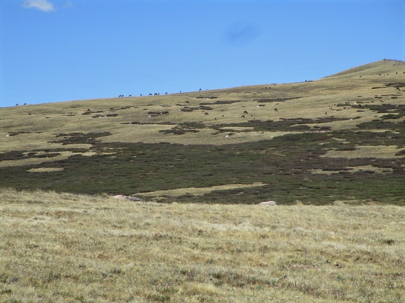
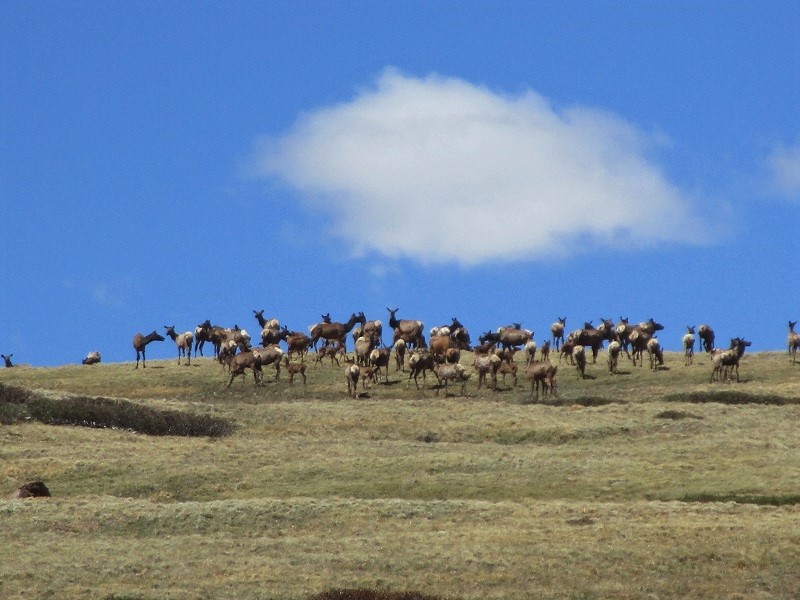
We worked our way around a willow-choked drainage and saw a large herd of elk ahead that I have heard consistently inhabits these slopes.
elk alert!
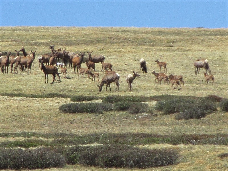
a zoom photo of some of the elk
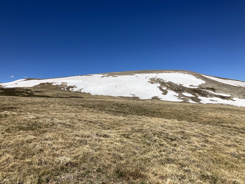
After watching the elk for a while we headed to the southwest and then west to get around most of the snow on the peak's eastern slopes.
we aimed for the gentle snow slopes to the left. the summit is toward the right.
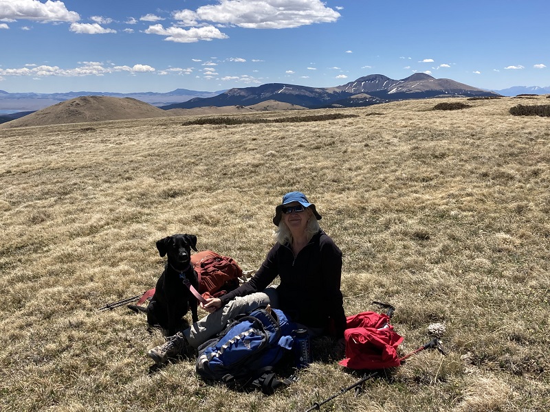
there is seemingly endless tundra to stroll across. the buffalo peaks are to the right.
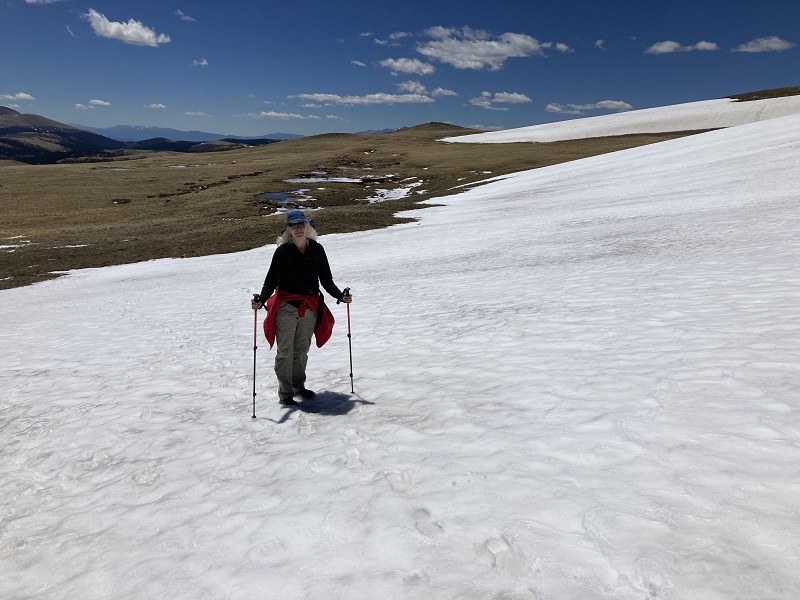
We walked up across a short gentle slope on the snow to gain the peak’s south ridge.
an easy walk across a short stretch of snow
From there it was a modest walk across gentle tundra a half mile or so to the top. The views from the summit are sweeping. The Arkansas River Valley lies far below to the west, with views of the Sawatch Range extending all the way from Mt. Shavano to Mt. of the Holy Cross. Oh, and there is another bonus – we even had nice cell coverage on top.
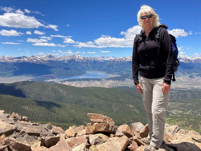
on the summit, with twin lakes and the sawatch range beyond
leadville is visible in the valley below, with the northern sawatch range beyond

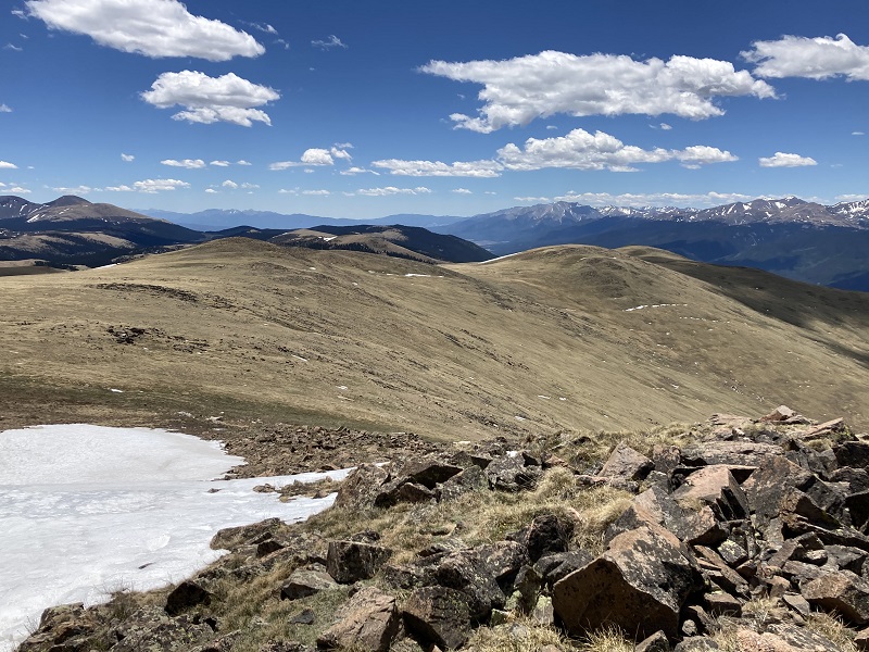
the peak's south ridge we strolled up is at the left, and the southern sawatch range is to the right
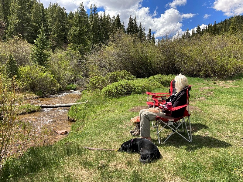
After enjoying this wonderful spot for a while we headed back down and returned to our truck. After driving a couple of miles down the road from the pass we found a nice spot off the road to sit in our lawn chairs beside a stream for a while and enjoy a refreshment and snacks – a pattern that we found easy to fall into for many more of our outings this year.
a nice relaxing spot after the climb