GRAND TURK
(13,180’)SULTAN MOUNTAIN
(13,368’)SPENCER PEAK
(13,087’)July 15, 2015
By Tim Briese
7.7 miles, 3300’ elevation gain, 7:10 roundtrip time
This is a scenic hike just south of Silverton that climbs to the summit of several peaks that afford spectacular views of the surrounding San Juans.
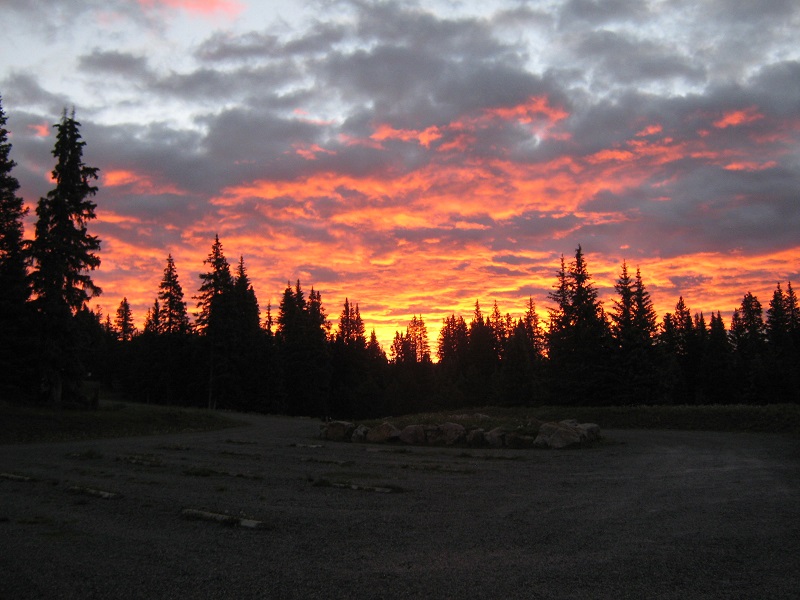
Brian and I left Ridgway about 430 am and drove to Little Molas Lake, about seven miles south of Silverton. We parked at the spacious trailhead for the Colorado Trail, which lies at about 10,900 feet on the west side of the lake. The Colorado Trail heads off to the west from here, but that was not the trail we wanted to take. We were treated to a majestic colorful sky in the east before the sun rose.
just before sunrise at little molas lake
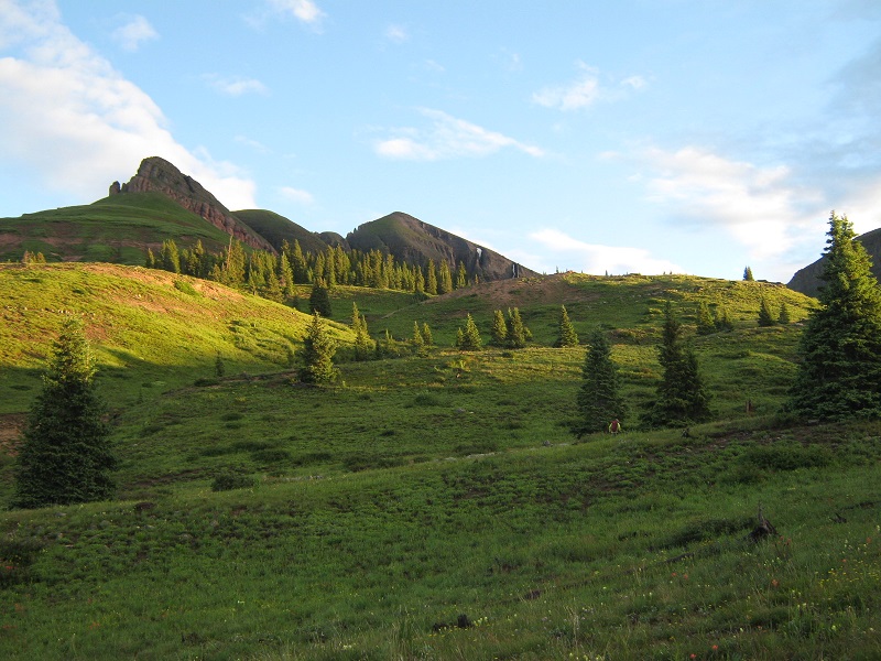
At 6 am we left the trailhead and walked about 0.2 miles back up the gravel entry road to a point where we saw a sign that said trail closed. We headed off to the north into the woods at about this point and found a reasonable trail that we followed for about a half mile before we lost it in an expansive meadow. This was not a problem though, for we simply bushwhacked up the slopes in a northerly direction toward the peaks we could see ahead. We were quite surprised when we were overtaken by Ken Kunkel, who we had run into on our Wasatch/La Junta climb near Telluride two days before! Ken flew on ahead of us as we continued up the slopes.
bushwhacking up the grassy slopes north of little molas lake. ken is visible in the right part of the photo.
looking back at little molas lake as we climbed higher. highway 550 is visible to the left.
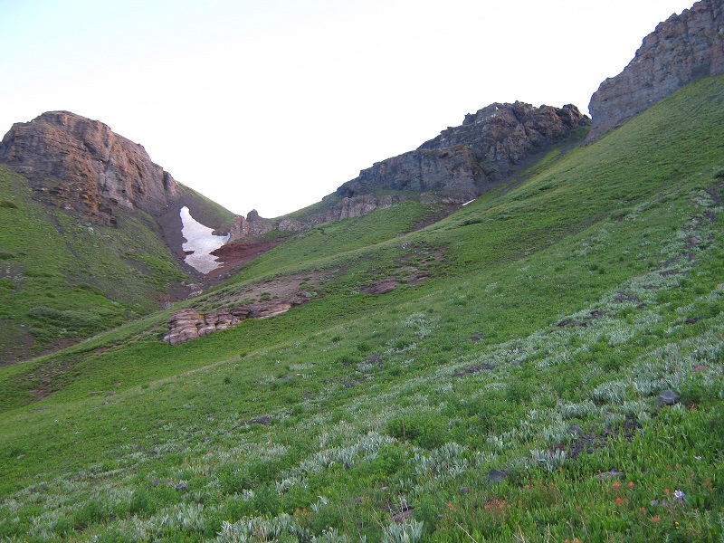
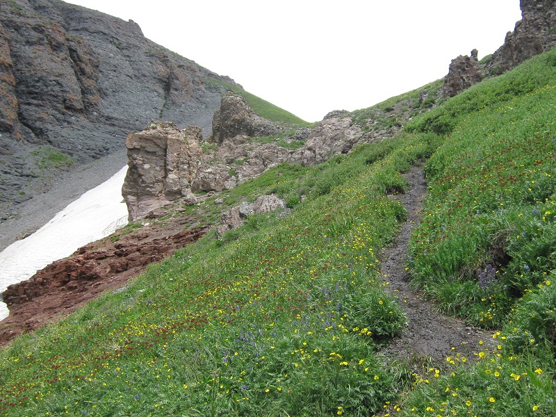
We found a sketchy trail in some places and made our way into an upper valley and headed for the saddle between Pt 12849 and Pt 12734. There was some steep snow below the saddle that concerned us as we approached, for we did not have snow climbing equipment along. We could see Ken in the distance in front of us and he elected to go up a very steep gully to the right. We stayed the course toward the saddle though and found a nice trail that traversed across a slope to the right of the snow and took us neatly up to the saddle.
we are headed for the saddle at the left. ken went up the steep gully to the notch at the right.
the trail up to the saddle
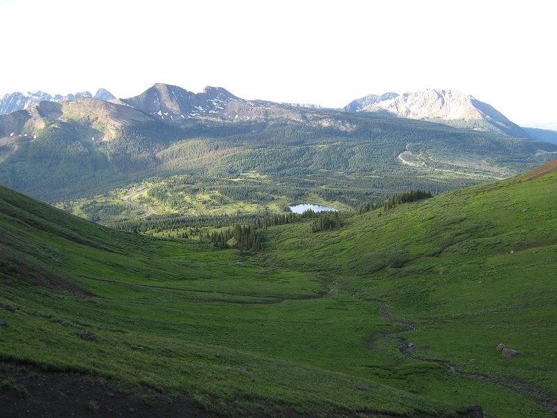
From the saddle we turned northeast and followed a trail that traversed around the east side of Pt 12899 to another saddle between this point and Spencer Peak.
we traversed around the slope at the left toward Spencer, which looms ahead.
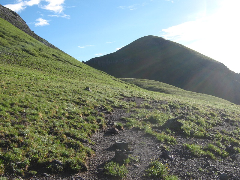
We headed up the west slope of Spencer and followed a trail that traversed across its northwest side to another saddle between Spencer and Grand Turk. Spencer is not an officially ranked peak so we decided to save it to climb on the way back if weather permitted.
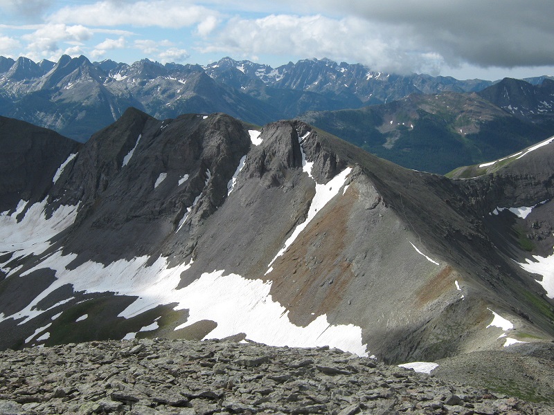
on the trail across spencer's northwest slope. grand turk lies ahead, and its highest point is the one in the middle of the three that are visible.
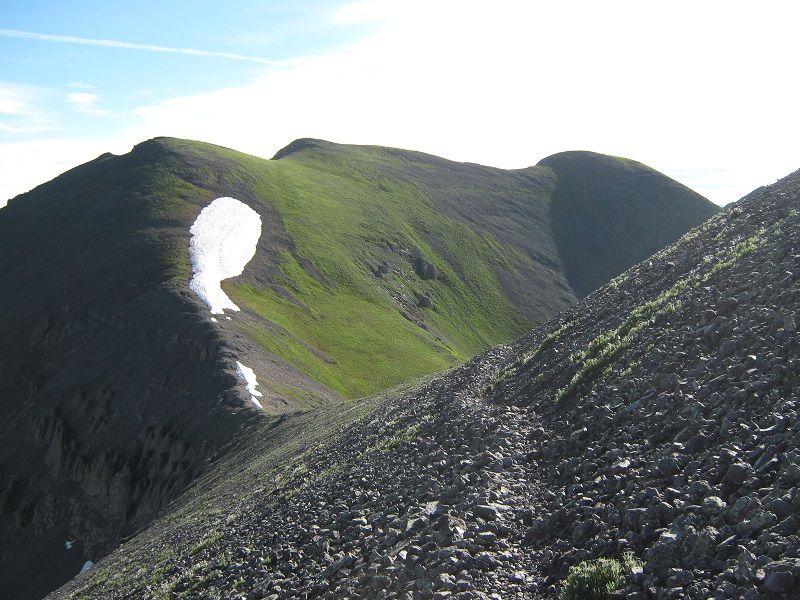
We climbed up a grassy slope toward the summit of Grand Turk.
looking back at spencer as we ascended grand turk
Grand Turk has about four summit points, depending on how you count them, and we were pleasantly surprised that the second one we reached was the highest one. We arrived on Grand Turk’s summit about 845. I was really liking this climb, for the terrain and footing was pretty gentle by San Juan standards, and the scenery was grand!
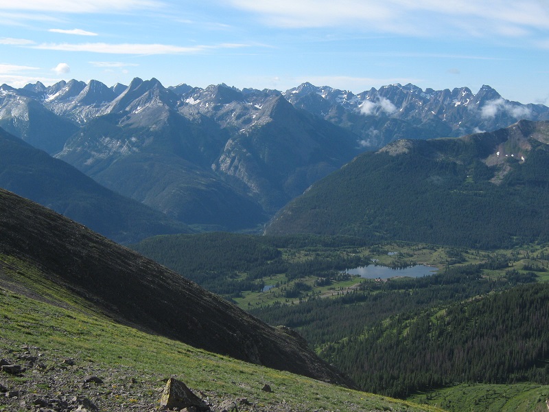
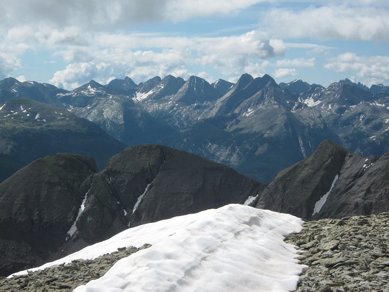
view of the needle mountains from grand turk. the grenadiers are at the left, pigeon peak is at the far right, and molas lake lies below.
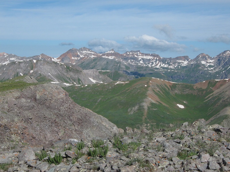
vermilion peak, golden horn, and pilot knob are visible in the center of the photo.
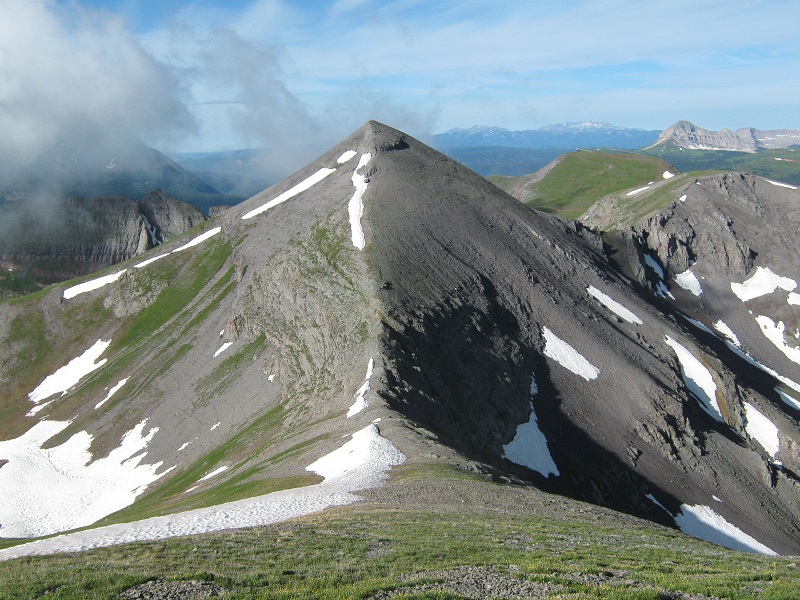
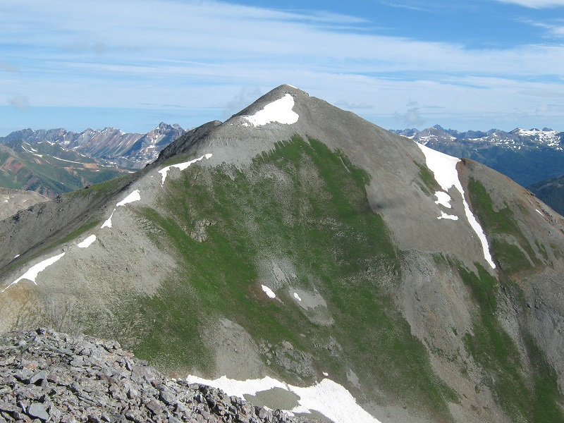
looking over at sultan mountain, our next objective
After a 15 minute stay on Grand Turk we headed down its northwest ridge and picked up a nice trail that went up the ridge to Sultan. We met Ken coming down this ridge.
the ridge up to sultan
We arrived on Sultan at 945, for a 45 minute traverse time from Grand Turk to Sultan. The views from the top were spectacular, here in the middle of the San Juans on this beautiful sunny morning!
view of the grenadiers from sultan mountain
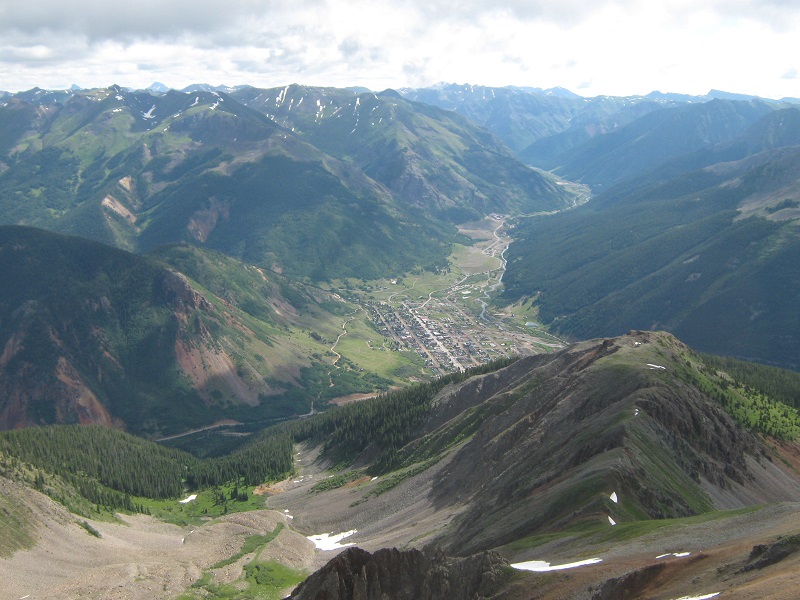
view of silverton from the summit
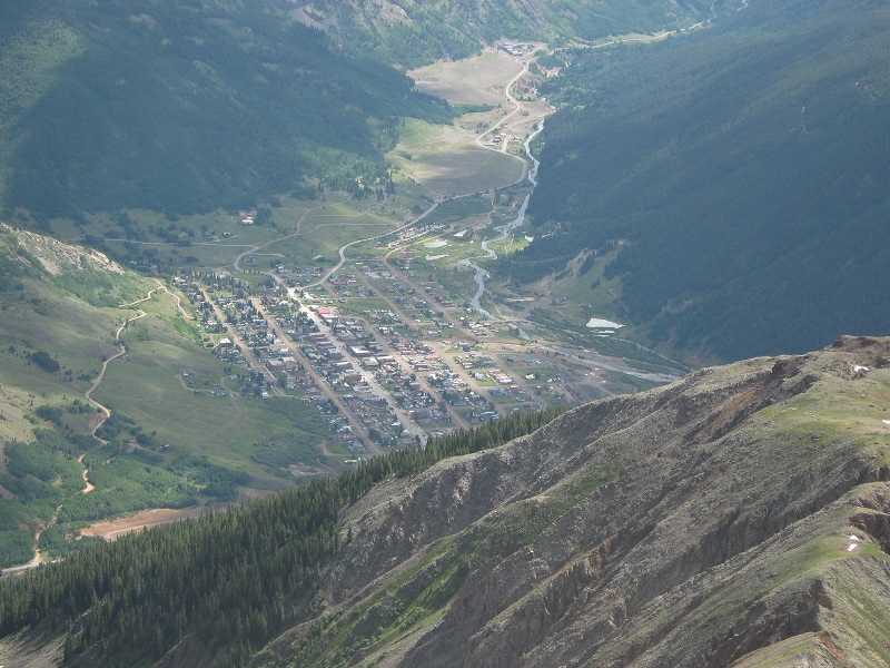
a closer view of silverton
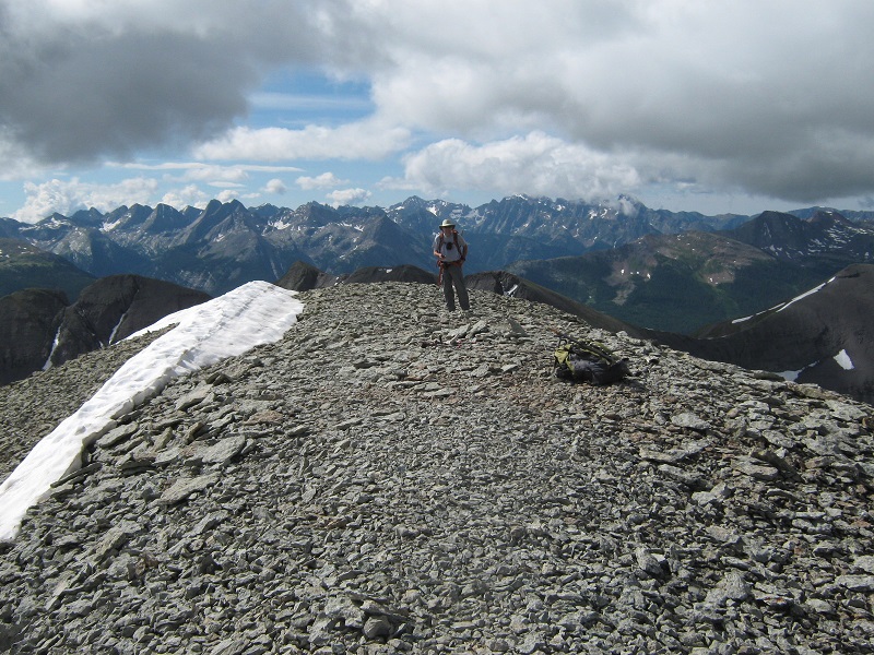
brian on the summit
Brian was eager to go back and climb Pt 12849, or "West Turkshead", that we had passed by on our way up here, since it is a ranked 12er, while I preferred to forgo it and just enjoy the summit of Sultan for a while. We don’t often split up on climbs but I encouraged him to go get the 12er so he took off while I lounged around on Sultan for a while longer and took some more photos.
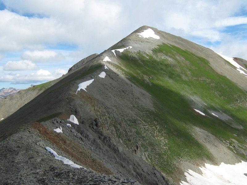
looking back at grand turk from sultan
After a half hour stay on top I left and retraced my steps back down to the Sultan/Grand Turk saddle and took a trail that traversed across the west slope of Grand Turk back toward Spencer. I went up Spencer’s north ridge to its summit and soaked up the nice views from there for a few minutes. Then I went back down to wait for Brian below the east slope of the 12er. I could see him scurry up to its summit and head back down. Clouds were rapidly building and some raindrops began to fall from the sky. When he rejoined me we went back through the first saddle with the steep snow and hurried back down to the relative safety of the trees in the basin below. We arrived there just in time, for a steady shower of graupel moved in and we waited it out under the trees. Thunder was rumbling from a storm just to the northeast of us as we hustled back to trailhead, where we arrived at 110.