SUMMIT PEAK
(13,300’)September 2, 2013
By Tim Briese
6.7 miles, 2400’ elevation gain, 5:30 roundtrip time
Summit Peak is the highest point in the South San Juan Mountains, a remote area of Colorado that I had never visited before. I was intrigued to see a new area of the state. An interesting fact about the South San Juans is that this is where the last known grizzly bear sighting in Colorado occurred in 1979.
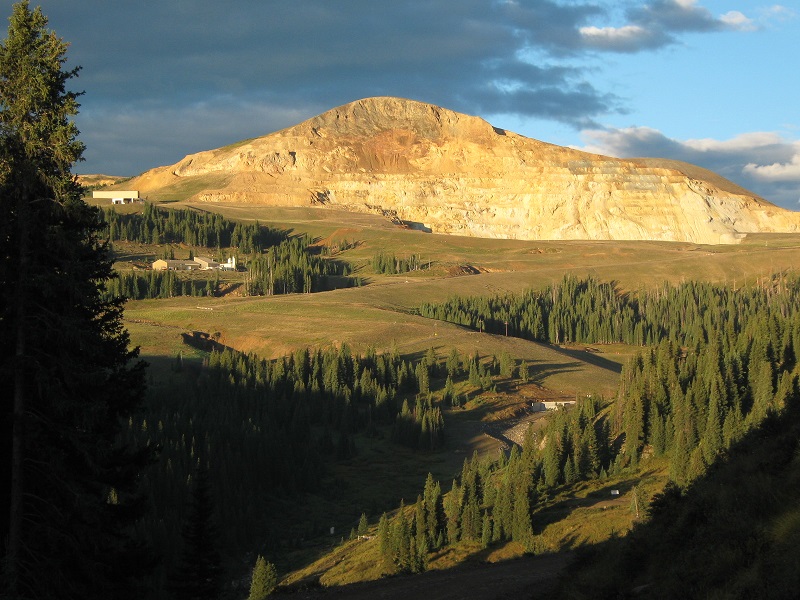
Brian and I left Monte Vista about 6 am and headed toward our objective. Access to this peak requires a long drive on mostly unpaved roads and there are at least three different ways to get there. We elected to go southwest from Del Norte on 14 Rd, which was paved for the first several miles. Eventually the road became FR 330 and climbed into the mountains to Summitville. I found it interesting to drive past the Summitville mine site, which had been notorious in recent decades as an EPA Superfund site due to leaching of hazardous materials into local waterways from former gold mining operations.
summitville
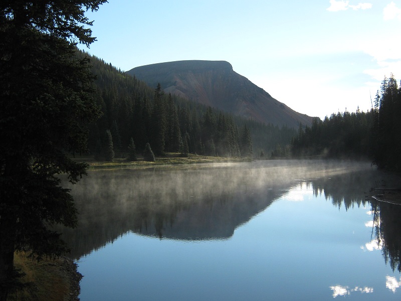
Shortly after this we went left on FR 380 and followed it to Horsethief Park, then turned right onto FR 243.
a scenic lake near the intersection of these two roads
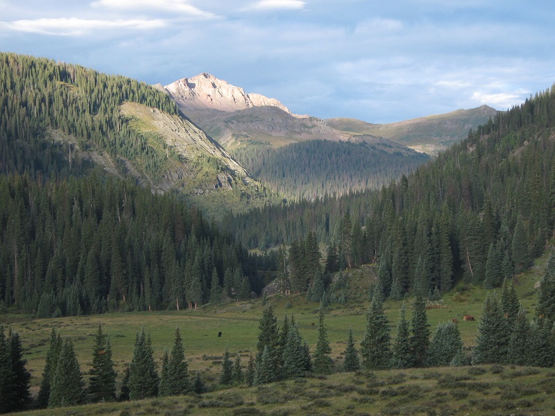
our first good view of summit peak as we approached on fr 243
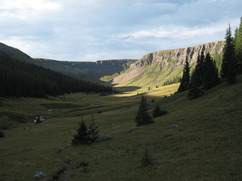
We drove a couple of miles on FR 243 to a parking area at the end of the road along Treasure Creek. The lengthy and scenic drive from Del Norte to the trailhead took about an hour and a half. A few minutes before 8 we headed south on a nice trail up a broad valley along a creek that initially ran through a scenic rocky gorge to our left.
the valley we hiked up
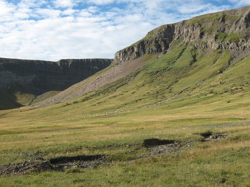
As we hiked up the grassy valley we looked for a turnoff for a so-called "Trail 710" or the "Treasure Creek Trail" that supposedly made an ascending traverse up the forested ridge to our right according to maps we had, but we never saw such a trail. After going more than a mile south on a trail up the valley we spotted a large herd of sheep ahead.
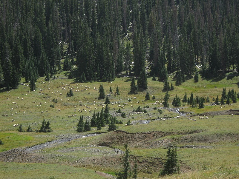
the white dots in the center of the photo are sheep
At about this point we decided to give up on finding a trail to the right and simply turned sharply to the right and bushwhacked up a grassy drainage to the northwest.
we headed up the drainage to the right of the photo

We briskly climbed a half mile up the nice drainage and made a steep grassy finish at its upper end.
brian coming up the drainage
the slope at the head of the drainage

This worked out very well, for then we turned southwest and shortly picked up a trail, probably the Trail 710 that we originally sought, northeast of Summit Peak at about 12,500 feet. The view of Summit’s rugged north face was very impressive from here.
summit peak. we traversed around the peak on the grassy slope at the left.
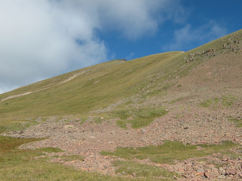
We followed the trail south and soon joined the CD Trail, which we followed a few hundred yards southwest around the east flank of the peak. We left the trail here and turned northwest and climbed 700 feet on grassy slopes to the top.
the slope to the top
We arrived on top about 10:40. We lounged around for 45 minutes enjoying this nice peak.
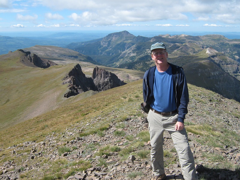
brian on the summit
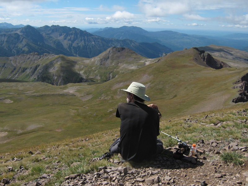
me on top
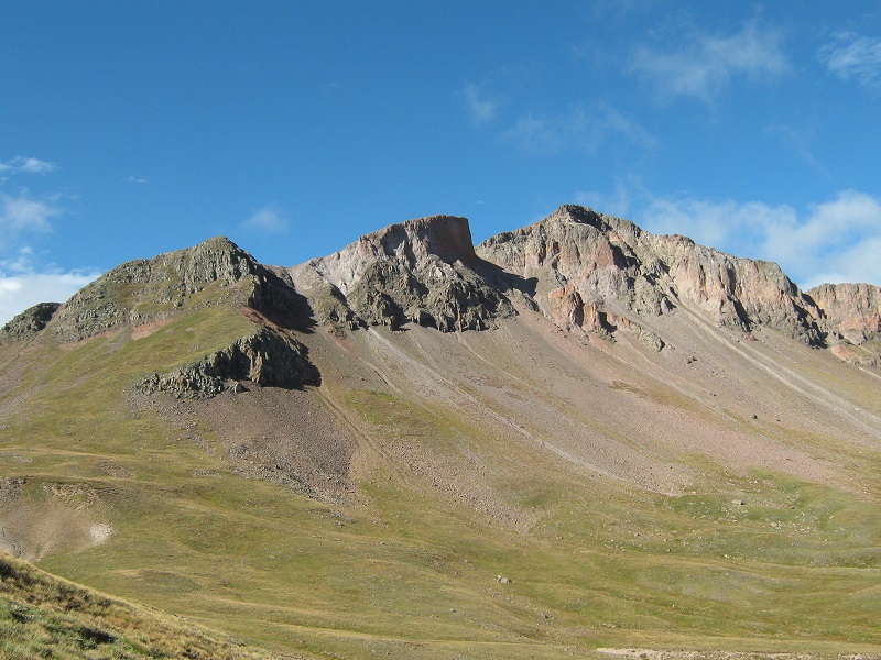
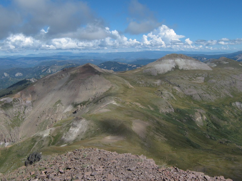
the unicorn and montezuma peak
We considered going on to climb the Unicorn and Montezuma Peak along the ridge to the north but clouds were building and my knees were pretty painful so we decided to forgo them today and just head down. We decided to follow the 710 Trail back down in order to see where it went. We found it to be very faint in places, and it also made a maddeningly slow and lengthy descent through the woods back down into the valley we had come up in the morning. We decided that our ascent route was much better. The herd of sheep had moved down the valley a ways so we stopped to take a few more photos of them.
the sheep grazing in the valley
Shortly before returning to the trailhead we met the sheepherder going up the trail toward his flock. We arrived back at Brian’s Highlander awaiting us at the trailhead at 1:25. For a change of scenery we decided to drive out on the Alamosa River Road, Road 250, back to Monte Vista. This route was slightly faster and shorter but less scenic than the route through Summitville we had taken in the morning.