T10
(13,477’)August 22, 2016
By Tim Briese
4.5 miles, 1700’ elevation gain, 3:35 roundtrip time
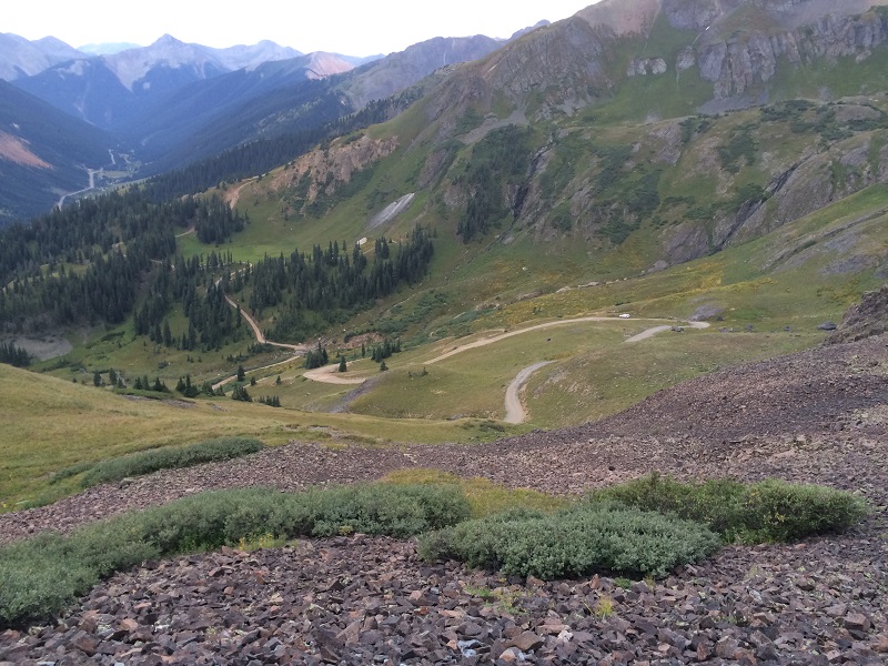
I was looking forward to climbing several of the 13ers west of Red Mountain Pass over the next couple of days but the weather forecast was very poor, with a high probability for thunderstorms, and starting earlier in the day than usual. Nevertheless Brian and I left Ridgway early in the morning and drove down Highway 550 to the pass, to see what we could do in spite of the weather and at least get in a scouting trip for these peaks. We left the highway at the pass and headed west up the 4WD Forest Road 823, or the Black Bear Pass road. We fourwheeled in my truck about 1.3 miles up the road to 11,800’ elevation. We probably could have driven further but I got a little unnerved by the steep narrow road. At 7 am we began walking further up the road and hiked 1.9 miles up to 12,840’ Black Bear Pass in about an hour.
looking down at the black bear pass road. my truck is to the right, and highway 550 is to the left in the distance.
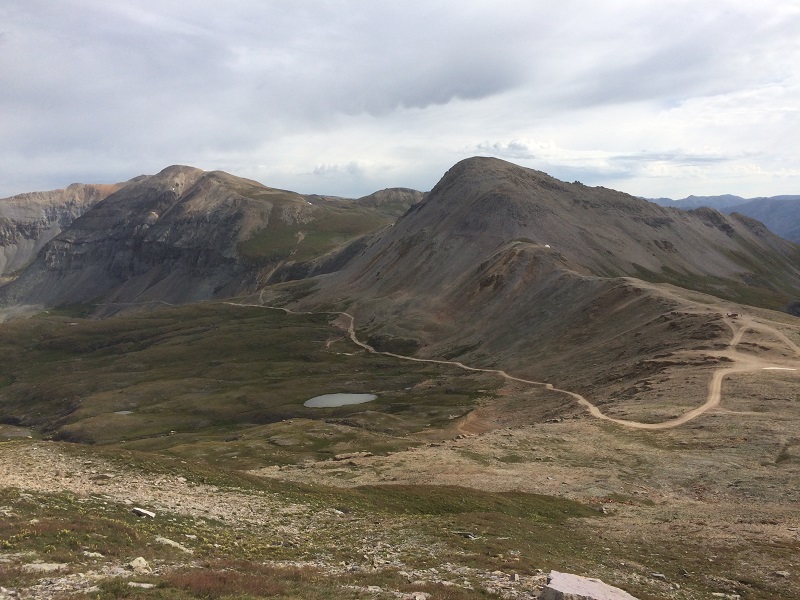
on the black bear pass road nearing the pass. t10 is in the center, and the pass is to the right of it.
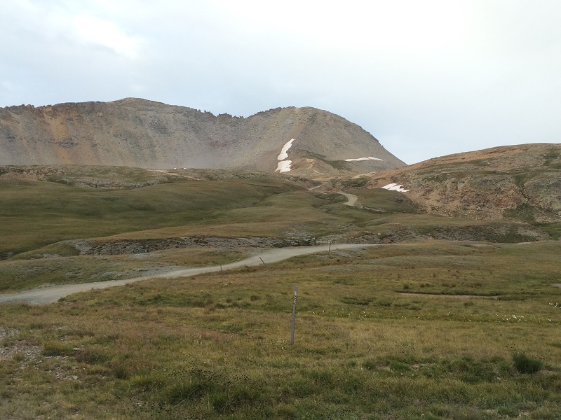
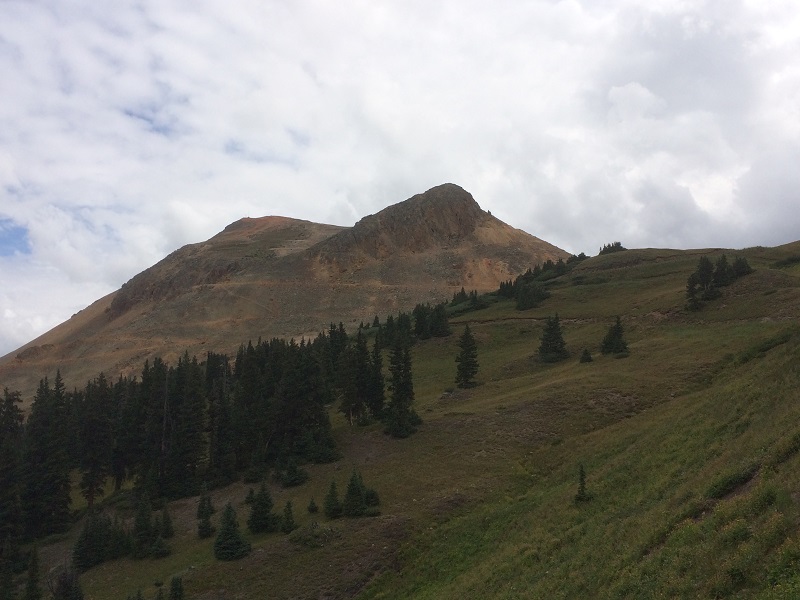
T10 was directly southwest of the pass and since the weather was holding so far we decided to head up there.
t10 from black bear pass
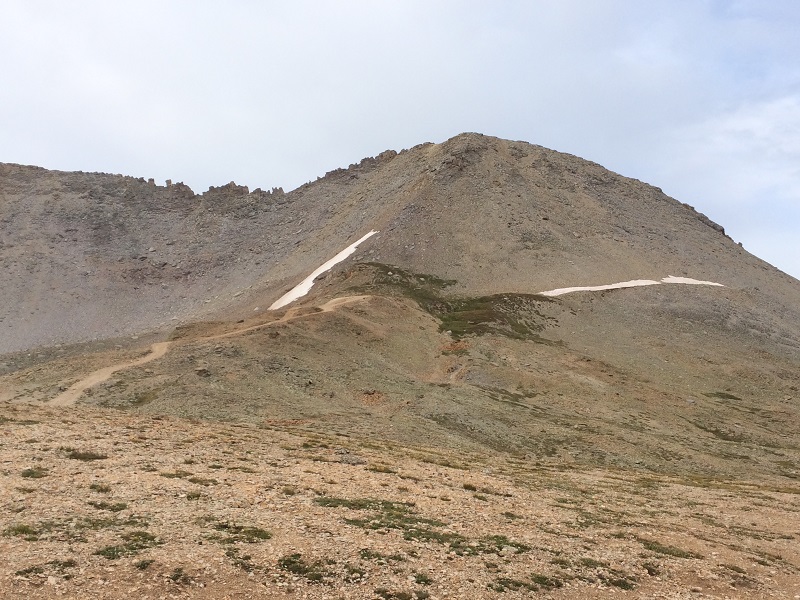
the slope up to t10. the slope above the grass is much steeper than it looks in the photo.
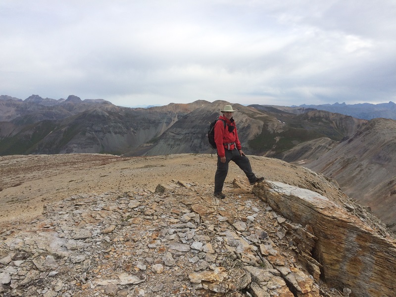
After a short introduction on grass we climbed 400’ up a very steep and loose slope covered with talus and scree and arrived on top at 845. It was a thrill to make this summit because we didn’t know if we would be able to climb anything at all today. We saw a fellow and his dog in the distance on a southern lower point and wondered what he was doing over there.
brian on the summit
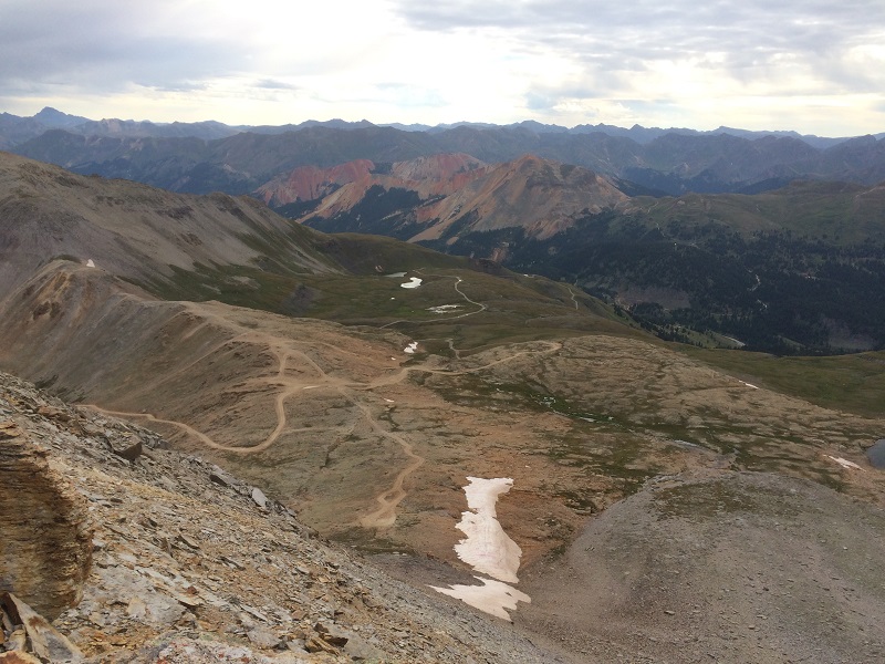
the view of black bear pass from the summit
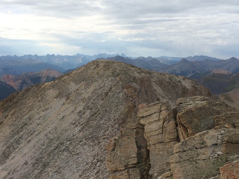
the ridge south of the summit
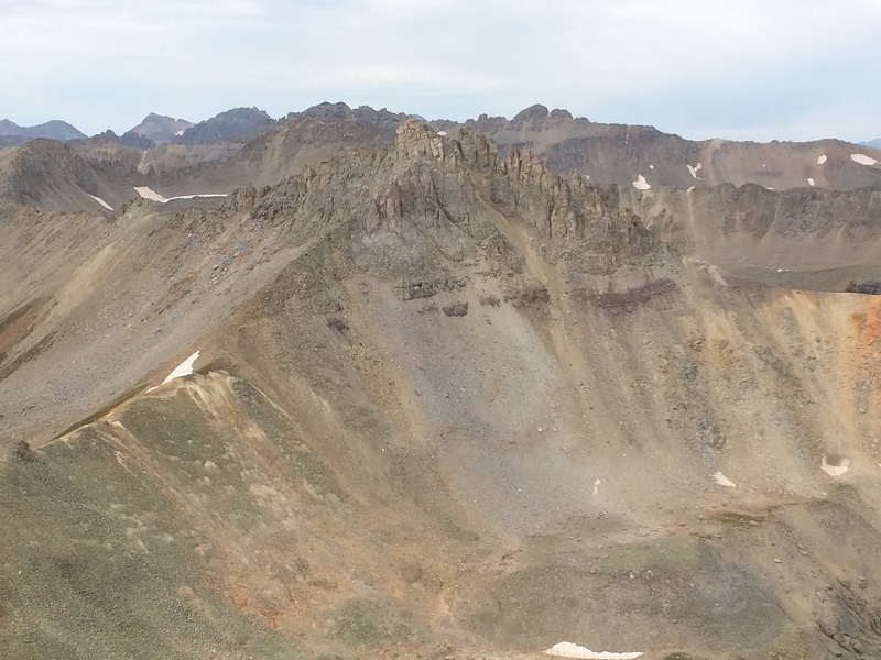
three needles, a 13er that will have to wait until another year
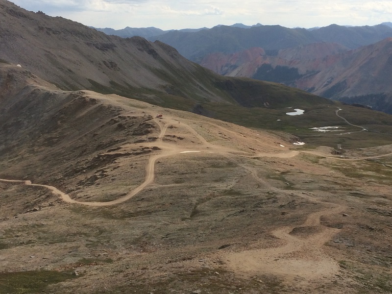
After a few minutes we went back down to the pass where there were now a couple of private and tour jeeps. It was tempting to head north from the pass to climb Trico Peak and Unnamed 13510 but given the conditions today we thought it best to save those for another day.
unnamed 13510 is to the left and trico peak is to the right
black bear pass
trico peak looming above black bear pass
We rapidly hiked back down the road and returned to my truck at about 1030.
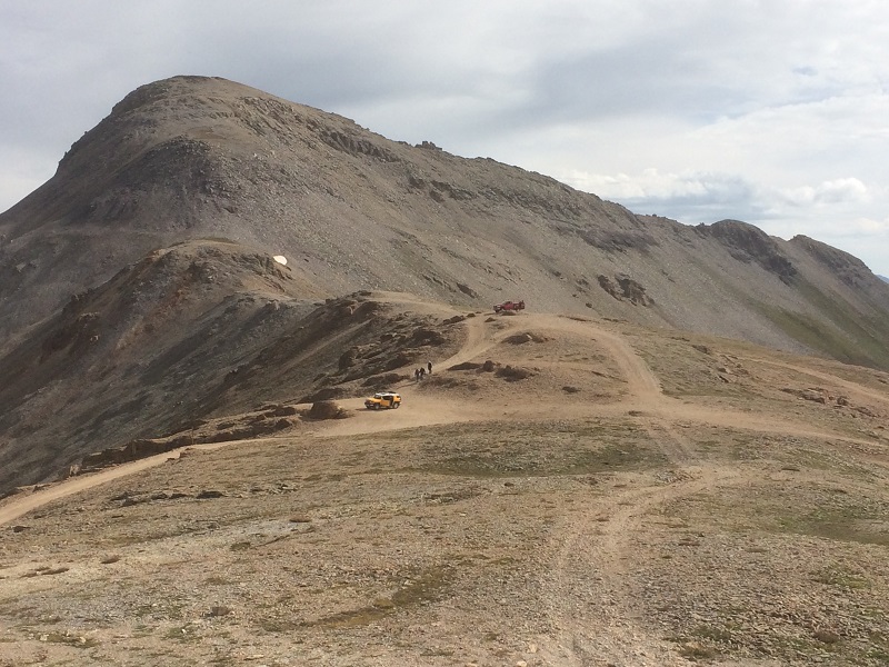
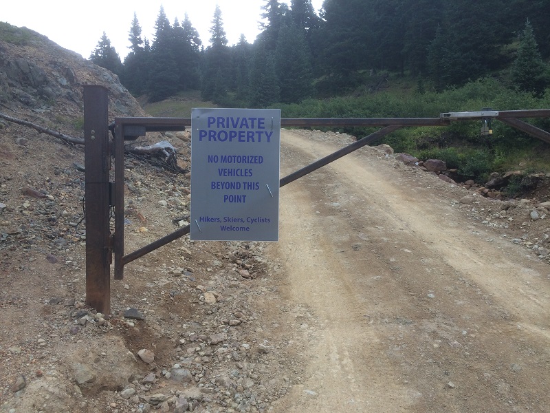
The skies were growing darker but were not threatening quite yet so Brian suggested that we take a shot at climbing Red Mountain No.3 (12,890’) on the other side of Highway 550. There is an old road that can be hiked all the way to its summit. We crossed the highway and drove a mile or so up a dirt road to a locked gate and parked there, at about 11,400’. A sign said it was private property beyond the gate but hikers were welcome. We took off and hiked briskly up the road.
the sign at the gate
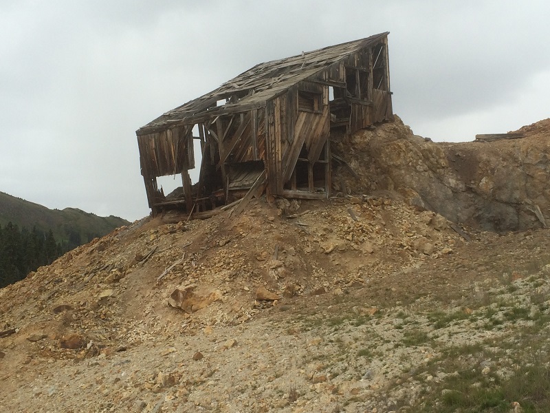
an old mine structure along the road
on the road up to red mountain no. 3. the summit is to the left.
The skies became more ominous and rain could be seen falling in the distance in multiple directions. At about 12,500’ I elected to bail and hustle back down to the truck but Brian continued on to the top. Thunder was rumbling and rain falling when I got back and I was pleased to see him return a short time later. He made it to the summit and basically jogged down, something I would have been unable to do. Sheets of rain and hail pelted down minutes later as we drove back down to the highway and headed back to Ridgway.