TARRYALL PEAK
(11,780’)June 1, 2011
By Tim Briese
14.6 miles roundtrip, 3800’ elevation gain, 9:00 roundtrip time
I left the Twin Eagles Trailhead along the Tarryall Road at 8:50 a.m. for a lengthy hike into the Lost Creek Wilderness today with my lab Abby. This is one of my favorite areas for early season hiking because the snow tends to melt out sooner here than in most other mountain areas of the state. I climbed relentlessly for several miles up the Brookside-McCurdy Trail to a saddle at 10,750 feet and then turned right on the Lake Park Trail. I followed this trail up and around to the northeast side of the ridge that harbors Tarryall Peak. Some deep snow on these shady northeast facing slopes obscured the trail for a ways and made it difficult to follow, but thankfully this was the only section of the trail today where snow was an issue. Eventually I made my way on the trail to a small saddle at 11,540 feet. At this point the peak was hidden in the woods only about 250 yards above to the west, according to my map. I began bushwhacking up through the trees while doing my best to skirt around lingering banks of snow. Presently I came to rocky outcroppings that towered more than 100 feet above where I assumed the summit was. There was a lot of snow to the right so I headed up to the left and made my way steeply up to a small notch. I sensed that the summit was not more than 50 feet away but the rock scrambling required to get there was pretty intense, well beyond Abby’s comfort level and ability. I climbed up onto a lower rocky outcrop to the south to have a better look.
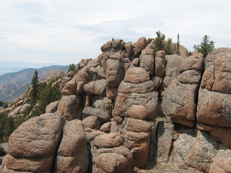
there's the summit right over there, but how do i get there?
Then I worked my way down and around the southwest side of the peak looking for a reasonable way to climb it but to no avail. I was considering giving up and returned to the notch and went back down to the snowy area east of the rocky summit. I decided to plod through the snow to have a look at the northeast side of the rocky outcropping. The terrain was mellower here, and in spite of an abundance of snow and some ice in a class 2+ crux gully I managed to finally work my way up to the summit, after well over an hour of looking for a route!
this is the upper portion of the route, which is free of snow. i came up from the right
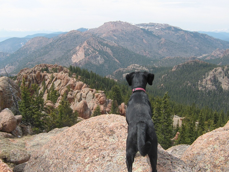
This rocky summit, which is the fourth highest peak in the Tarryall Mountains, pokes above the trees and provides outstanding panoramic views of the surrounding wilderness area.
abby gazing at mccurdy mountain across the valley
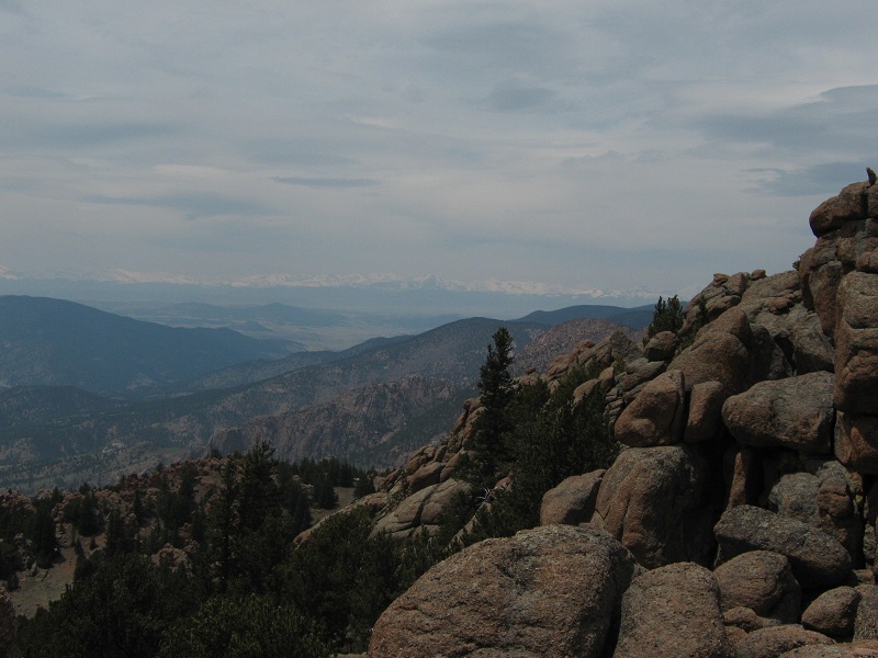
there was still lots of snow on the distant ranges to the west
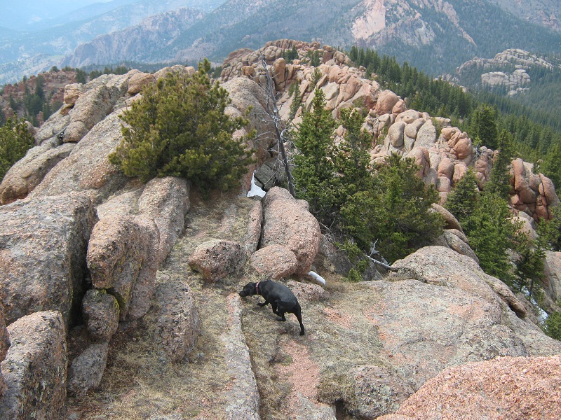
After a pleasant stay on the summit I headed back down to the Lake Park Trail. I went south on it through a very scenic area of rock towers, pinnacles, and alcoves for which the Lost Creek Wilderness is well known. I followed the trail down to Hankins Pass and completed a long loop hike, eventually tramping back to my truck at 5:50. Solitude reigned today for I did not see another soul on the entire route.