TAYLOR PEAK (13,435’)
July 19, 2020
By Tim Briese
4.5 miles, 2800’ elevation gain, 6:00 roundtrip time
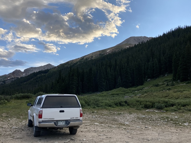
I drove the Taylor Park Road, FR 742, northwest from Taylor Reservoir clear to the end of the road where I met Brian to truck-camp for the night. This excellent but dusty road is about 20 miles from the reservoir to its end and it took me about 45 minutes to drive it. Taylor Park was extremely busy with campers, fishermen, and off-roaders this summer weekend, and I was astonished to see probably hundreds of campers on the drive.
We took off shortly before 6 am the next morning to embark on the climb. We abruptly began a stiff bushwhack northwest up through the woods just past the end of the road, staying a little to the right of a drainage and avoiding downed trees as best we could.
view of taylor peak, at the upper right, from our camp the evening before. we climbed uphill into the trees at the far right.
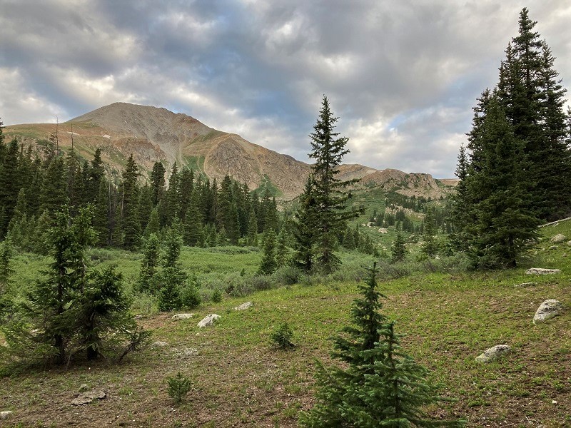
This steep ascent gained about 700’ in 0.4 miles before we reached an old road that contoured across the slope above. We could have taken a much gentler route on a trail up the valley from camp then back on another one to reach this point but that would have added well over two miles to the climb.
view of taylor peak from the old road near timberline
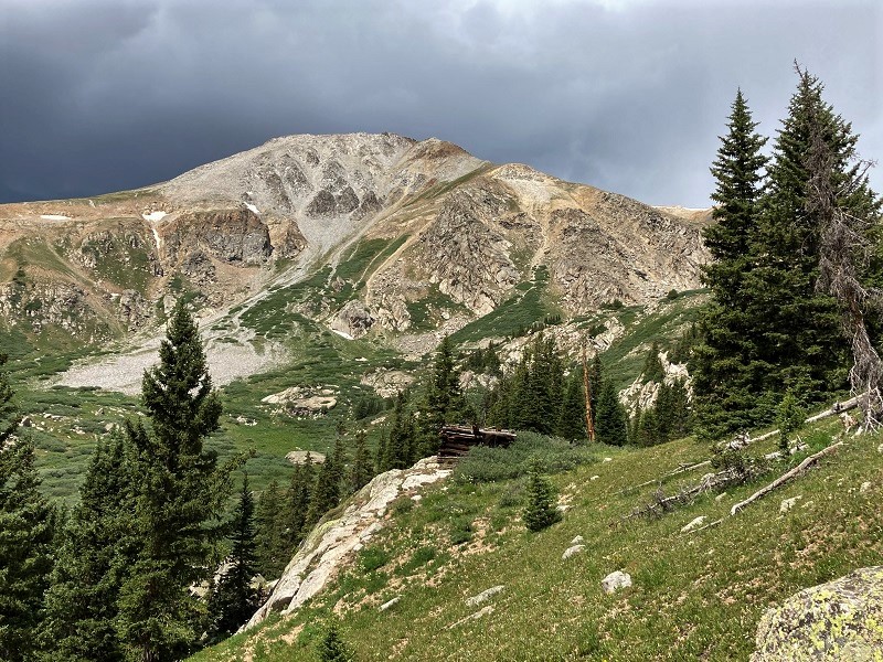
We went right on the old road about 100 yards then turned left onto a more faint track. After about 0.2 miles we lost our trail in the willows where it crossed a drainage and turned right onto another trail that went steeply uphill to the right. After climbing about 200’ feet of elevation gain we realized we were off-route but this error was actually fortuitous because it afforded us a helpful view of our desired route. We got back on the correct trail, which soon ended at the remnants of an old cabin.
the old cabin and taylor peak. (photo taken on our return as clouds were building.)
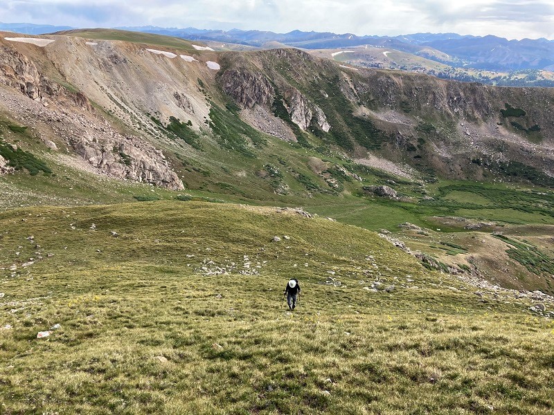
We left the trail before reaching the cabin and headed uphill to the right and followed a broad ridge that curved to the left all the way up to the summit, finding friendly grass to hike on much of the way.
we followed the ridge in the foreground that runs across the center of the photo up to the summit, at the upper left
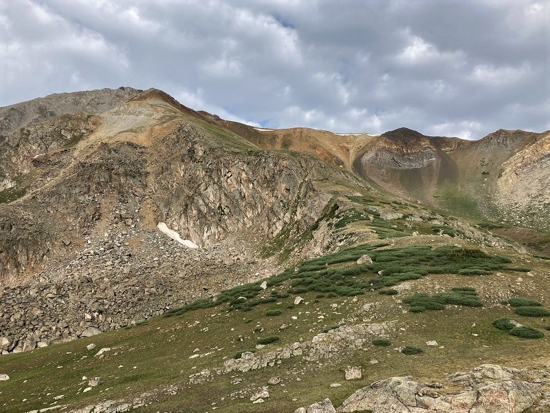
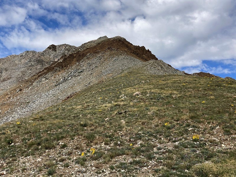
At 12,200’ the ridge steepened but the grass continued all the way to 13,100’ before it gave way to a couple of hundred feet of loose, steep scree.
i paused for a photo of the tundra flowers on the ascent

brian coming up the slope
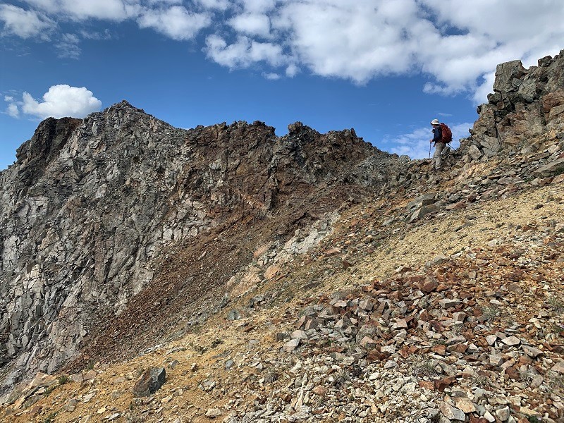
rougher terrain ahead, but fortunately not for very long
brian coming up the rougher section
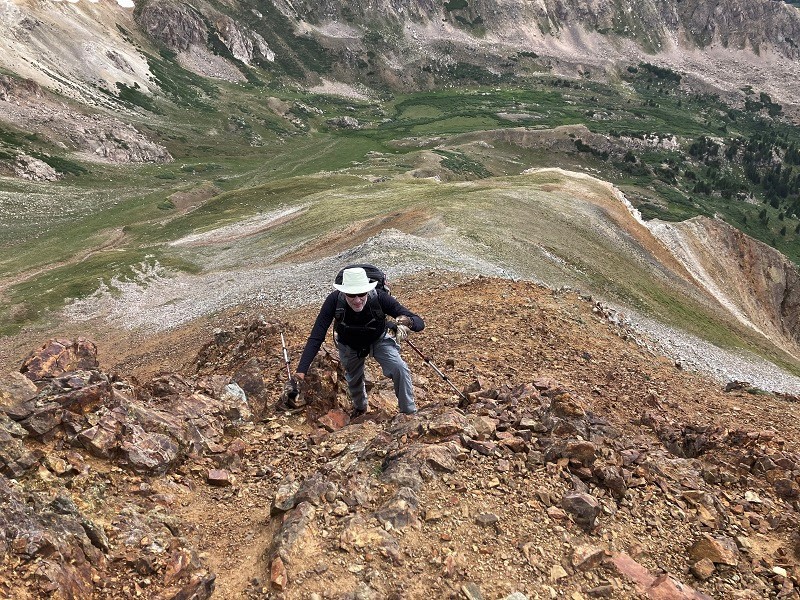
There was a short fun stretch of sheer ridge just before the summit, which we easily managed on the right side.
almost to the summit, which is at the left. photo by brian schultz.
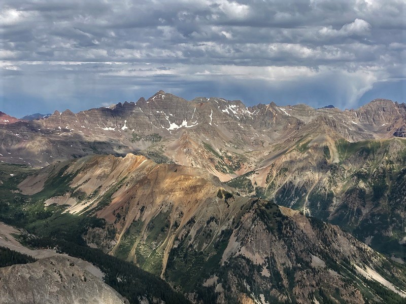
We stepped on top at 9:40 and enjoyed the nice views of the surrounding Elk and Sawatch Ranges for a while.
view to the northwest of castle peak, at left center
view to the south

view of our trailhead far below, in the center

Clouds were building rapidly so we packed up and left about 10:15. We made great time going down, which was good because it started raining lightly on the final steep descent. We arrived back at the trailhead about noon and headed for Gunnison.