TELLURIDE AREA PEAKS
LAST DOLLAR MOUNTAIN (11,140’)
WHIPPLE MOUNTAIN (11,922’)
BALD MOUNTAIN (11,917’)
August 29, 2022
By Tim Briese
Last Dollar: 1.5 miles, 500’ elevation gain, 1:20 roundtrip time
Whipple: 2.8, 1300’, 3:20
Bald: 1.9, 700’, 1:35
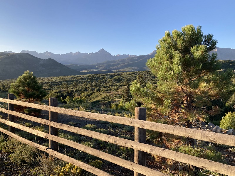
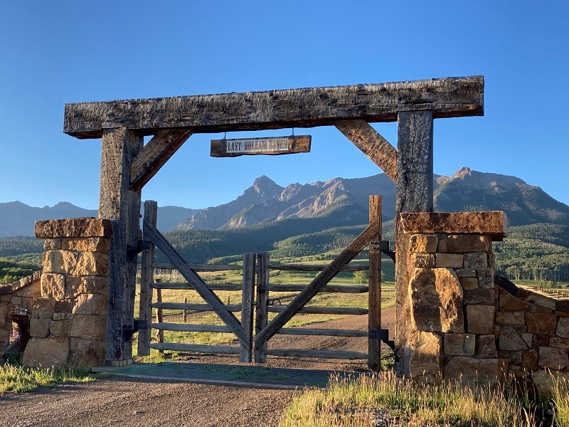
I looked forward to climbing in the San Juans again with Brian over the next few days. It is always a treat. This morning we took the beautiful Last Dollar Road south from Highway 62 to begin our first adventure. This dirt road was a little rougher than the last time I had been on it.
mt. sneffels from dallas divide on hwy. 62
entrance to the last dollar ranch along the last dollar road
After several miles we parked off to the side of the road right at the highest point the road reaches before it begins a long descent into Telluride. This spot is right across the road from the Alder Creek Trailhead. Last Dollar Mountain was above to the south hidden by the trees.
we parked here along the last dollar road
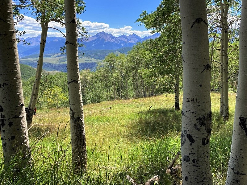
We struck off uphill through the woods in the direction of the peak and found a trail part of the way, which was quite useful on the steeper terrain. When we reached the peak’s east ridge we abruptly emerged from the trees and followed a slight trail west along the ridgeline to the summit.
on the ridge to the summit of last dollar mountain
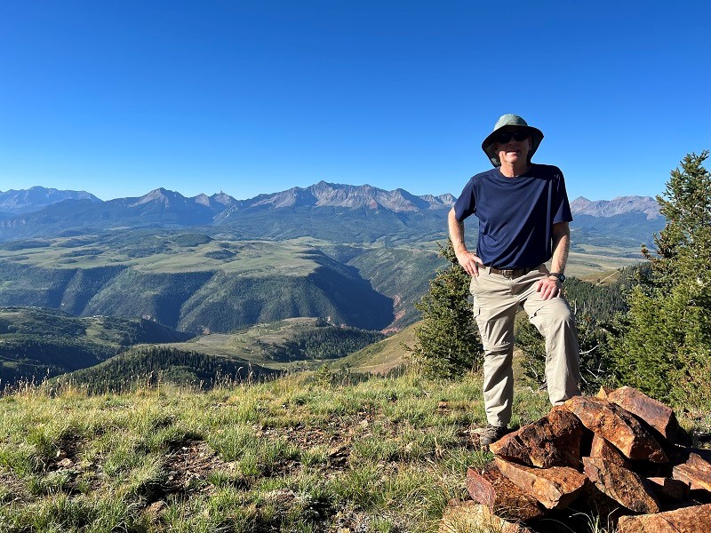
It took us about 35 minutes to make the ascent. It was a beautiful morning to be there and the views were fabulous.
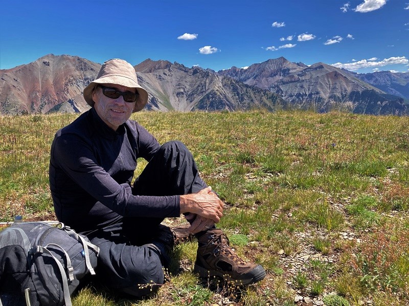
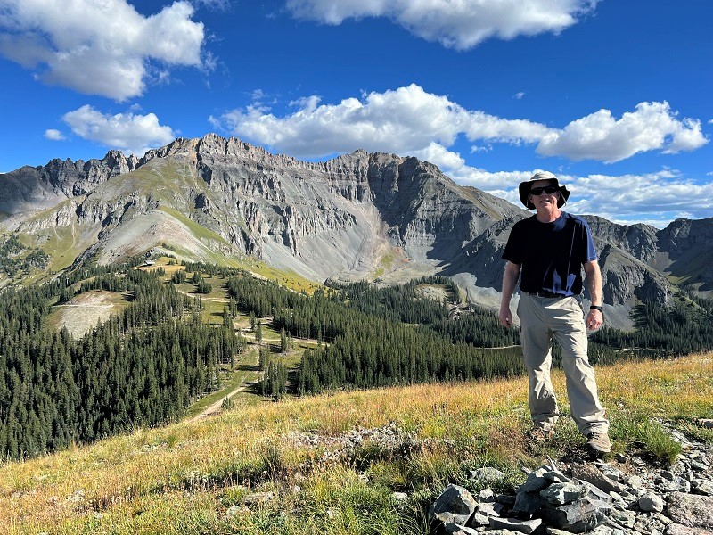
on the summit (photo by brian schultz)
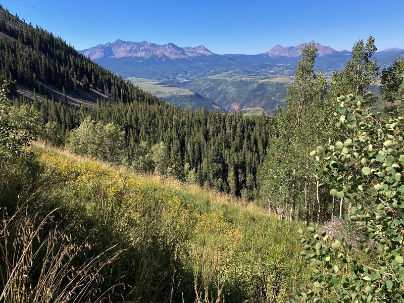
view to the southeast on this pristine morning
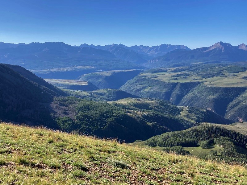
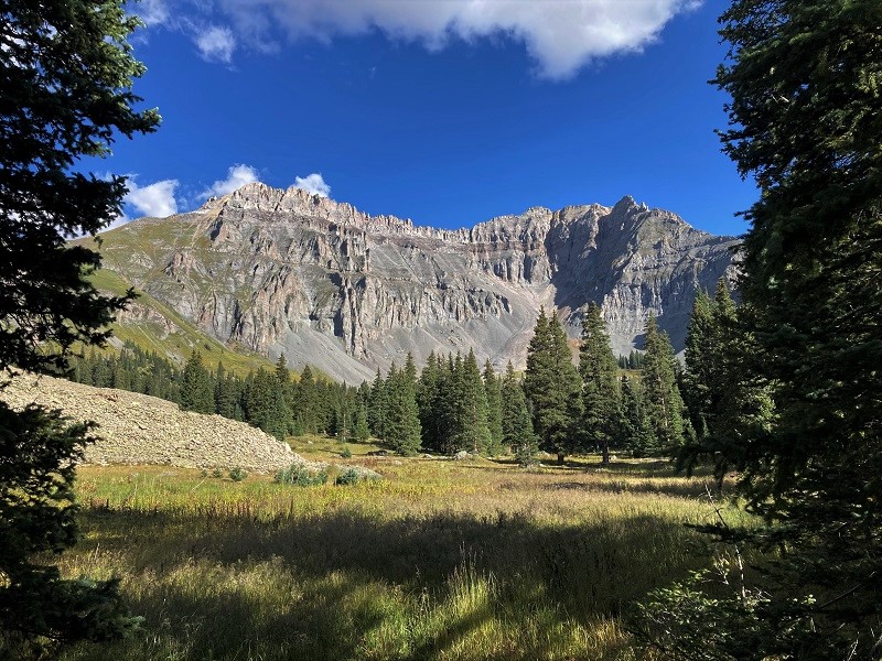
view to the east of whipple mountain, our next objective
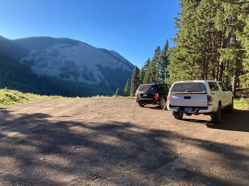
After returning to the vehicles we drove down the road a short distance to the east and parked at the signed Whipple Trailhead. We hiked up the excellent Whipple Mountain Trail to the saddle between Whipple and S10, gaining about 900 feet of elevation in a bit over a mile.
from the trailhead down in the trees below, we hiked up the trail to the saddle in the center. whipple is to the right.
there were nice views from the whipple mountain trail
view of last dollar mountain, in the center, from the trail
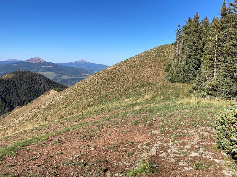
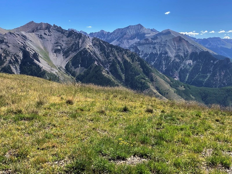
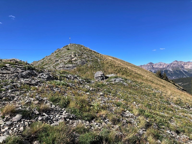
From the saddle the main trail continued down to the east to points beyond, but we took a rougher, more faint trail that climbed south up Whipple's north ridge through the woods about 400 feet to the summit. The total ascent took us about an hour and fifteen minutes from the trailhead. When we neared the summit the woods evolved into a broad open grassy meadow, which afforded fantastic 360 degree views from the top. The area around Telluride is one of the state’s most scenic areas and the stunningly clear air today enhanced the beauty. We sat around relaxing and soaking it all in for about an hour and twenty minutes.
view to the east from the summit of whipple mountain
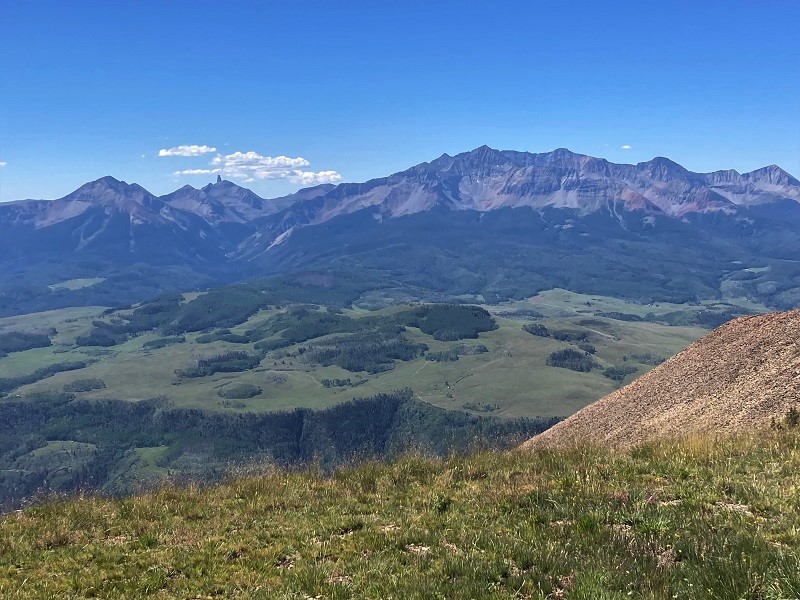
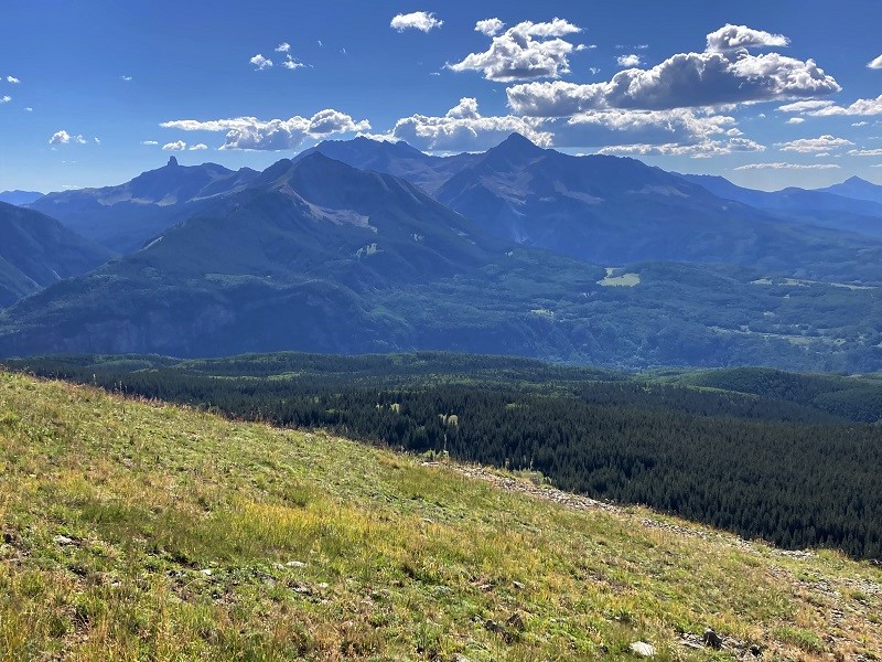
view to the south of lizard head, at the left, and the wilson group, at the right
brian on the summit of whipple
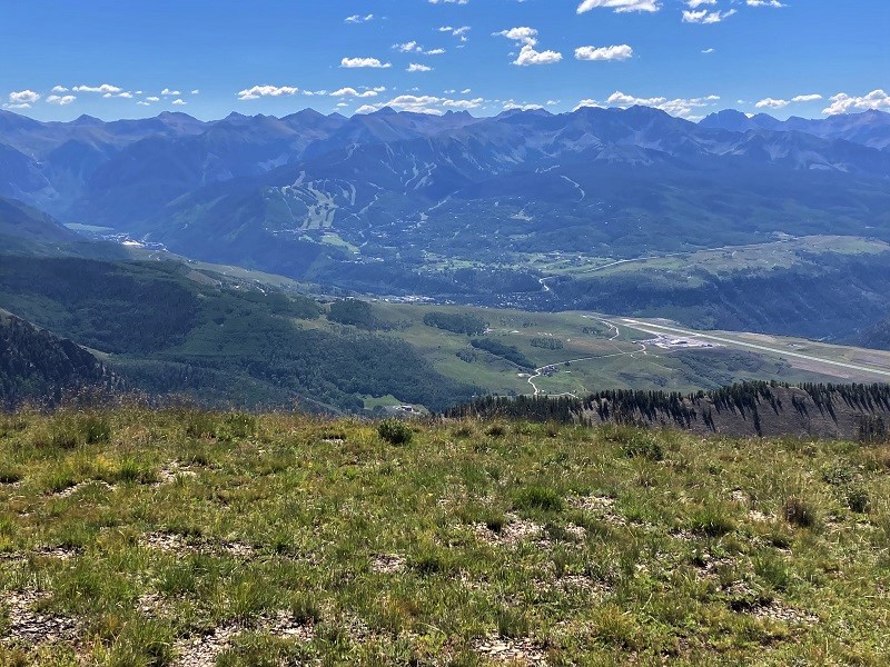
It was interesting watching a couple of jets arriving at and leaving the telluride airport far below.
the view down to telluride and its ski area, with the telluride airport to the right
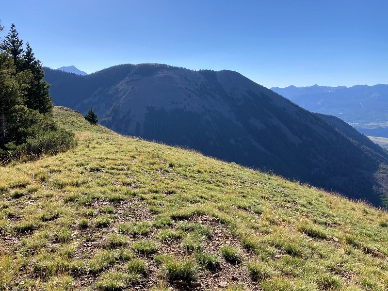
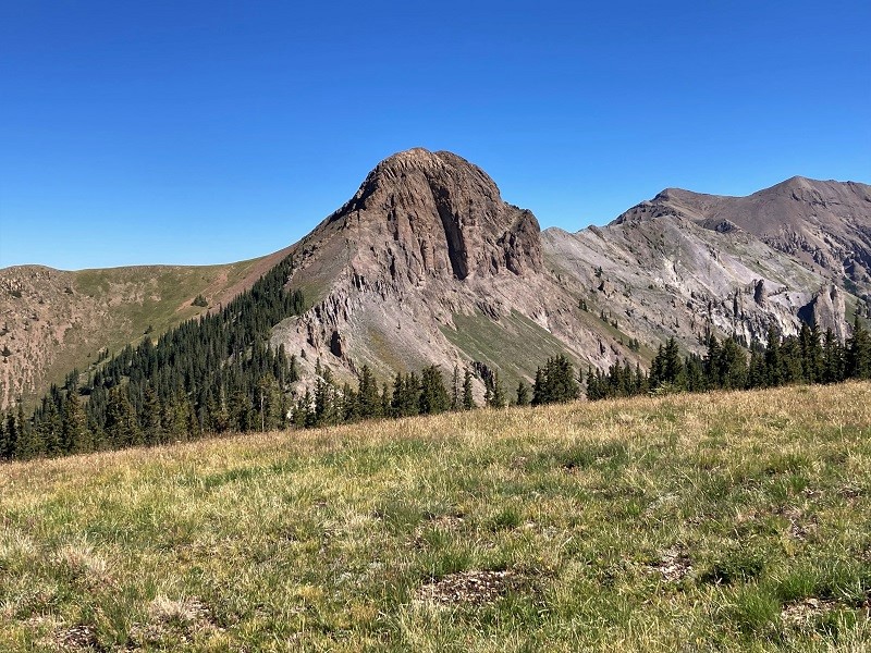
We gazed over at rugged S10 beyond the saddle where we had ascended and pondered what it would take to climb it but dismissed the thought of doing that today.
s10
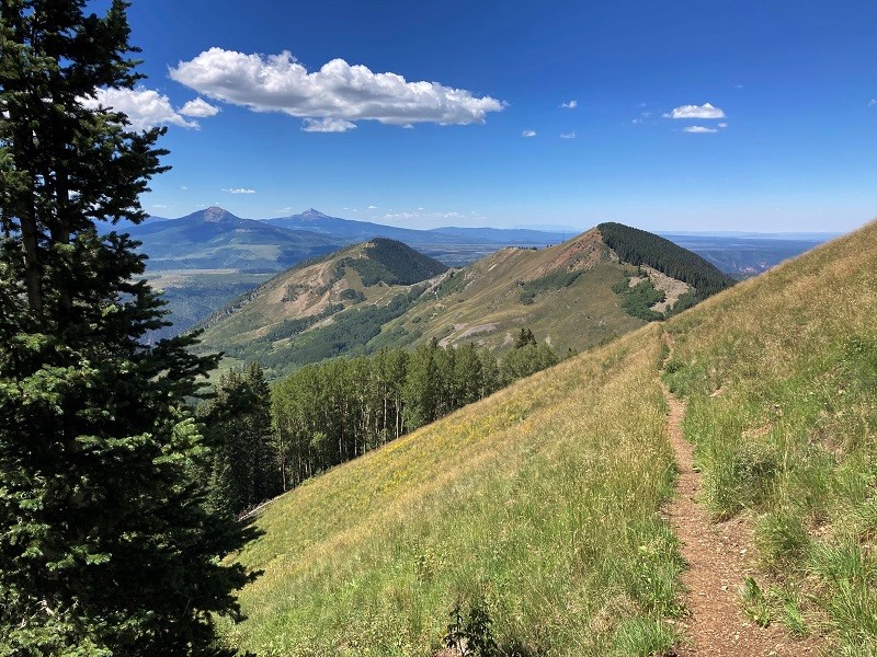
Eventually we took our leave and hiked back down to the trailhead.
going back down the trail
We continued south on the Last Dollar Road and after a short distance parked at the bottom of a steep hill, anticipating climbing Gray Head from there, but changed our minds due to private property concerns after studying a sign near the gated access road.
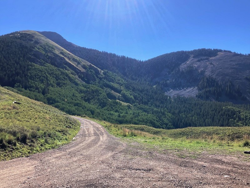
a view along the last dollar road
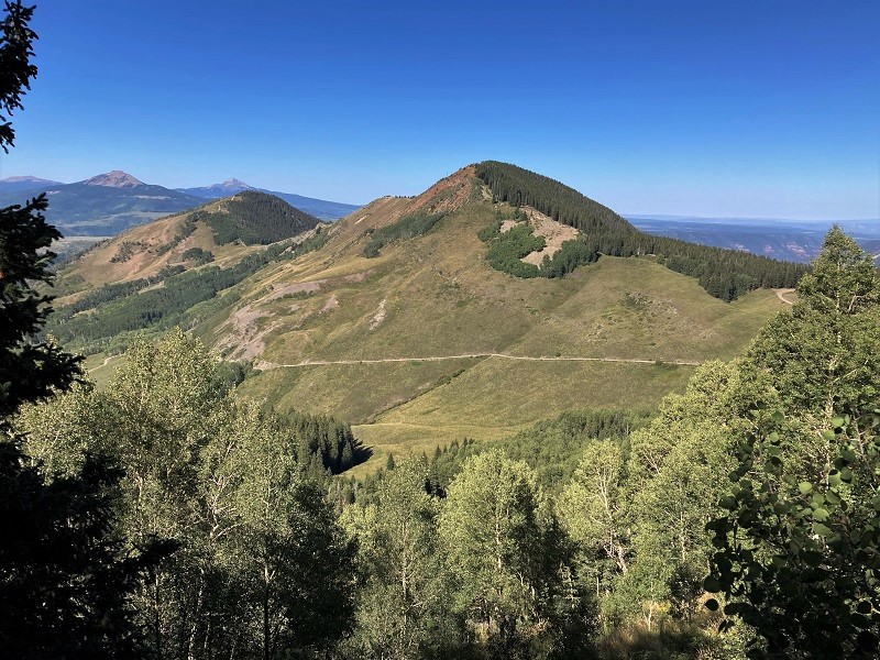
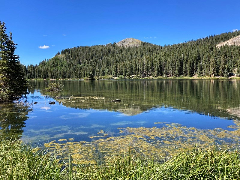
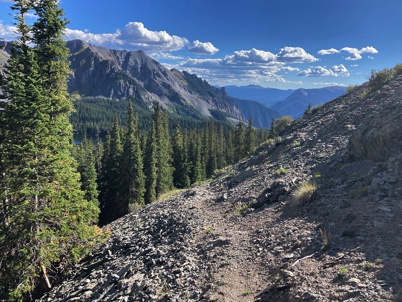
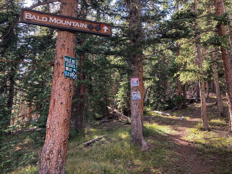
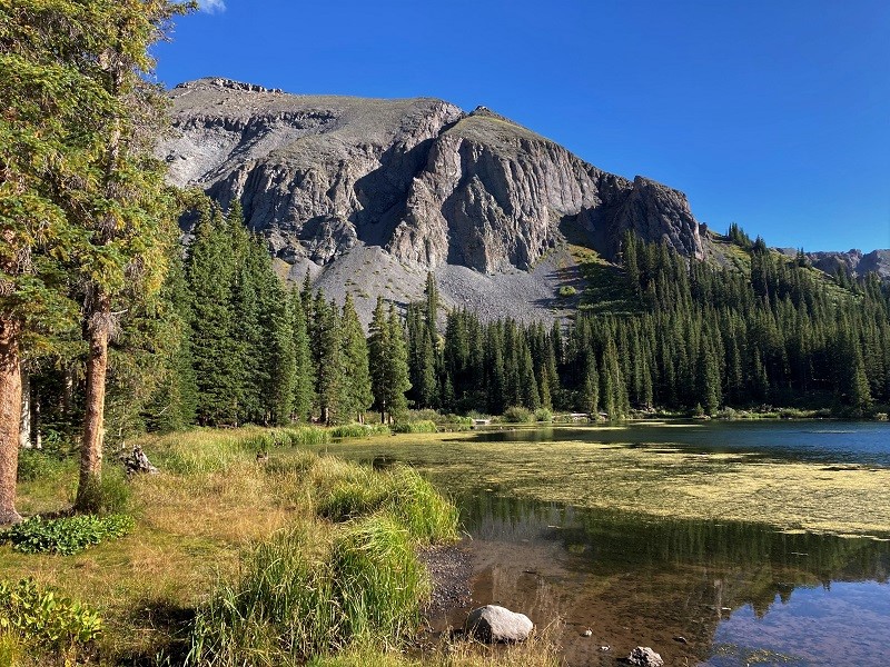
We still had plenty of time on our hands and the weather was great so we shifted gears and aimed for Bald Mountain south of Telluride. We took the Alta Lakes Road off of Highway 145 and found the road to be much rougher and slow-going than expected. After about five miles we reached the beautiful Alta Lakes and parked on the east side of the main lake. It took about half an hour to drive up there from the highway. Bald Mountain was clearly visible to the north.
one of the alta lakes, with bald mountain above
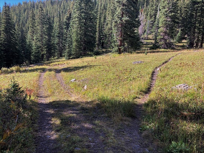
The route was not clear but we followed an old 4WD track northwest through the woods and turned right onto a single-track trail after guidance from one of Brian’s digital maps.
we left the 4wd track here and took the unsigned trail to the right
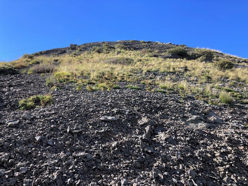
This trail took us neatly up a steep slope to a broad meadow, just south of the Telluride Ski Area boundary, as we discovered on the way back. We made a rough bushwhack through the woods to the west and climbed up onto the scree-covered south ridge of Bald and hiked north to the summit.
the scree slope on bald's south ridge
there were great views of the alta lakes after we cleared the trees
approaching the summit
It took about an hour to hike a mile up to the top from the parking area. This peak was a spectacular vantage point.
on the summit of bald (photo by brian schultz)
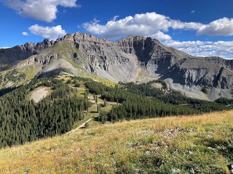
view of lizard head and the wilsons to the west
 \
\
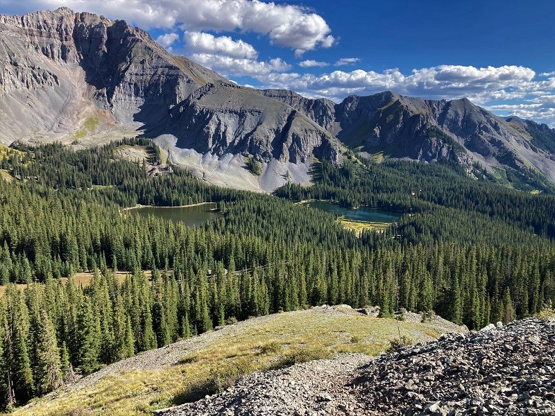
view to the northwest of the san miguel river canyon and the distant blue mountains in utah
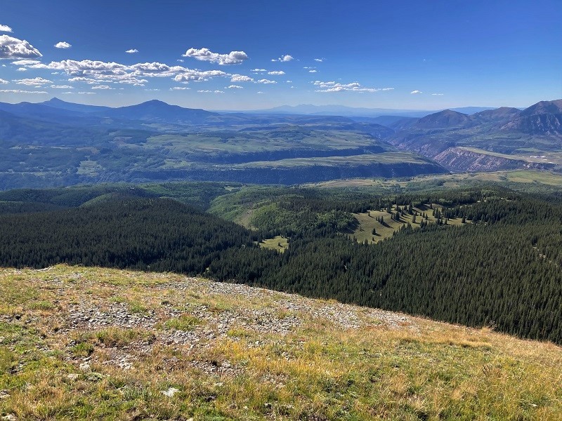
the upper part of the telluride ski area - their motto: "the most beautiful place you will ever ski"
After enjoying this magnificent spot for a while we headed down and found an excellent trail through the woods that took us to the ski area boundary in the meadow.
on the trail down
the trail through the woods
From the meadow we retraced our route back down to the lakes. The descent went quickly and took only about 35 minutes from the summit.
a view on the hike back to the lakes
It was now late afternoon and we called it a day and headed to Norwood for the night.