TEOCALLI MT.
(13,208’)July 23, 2019
By Tim Briese
6.2 miles, 3100’ elevation gain, 6:10 roundtrip time
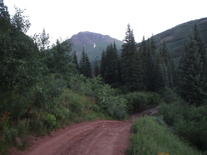
This was a crazy year, with an epic snowpack still creating questions about snow on routes and about high stream crossings even in late July. But concerns about these issues turned to nought on this outing, and this turned out to be an exhilarating climb in a gorgeous place, one of Gerry Roach’s classics, and one of my favorite climbs I have done in a while. Brian and I left Gunnison and headed north on Hwy. 135 toward Crested Butte and turned right onto the Brush Creek Road just south of town. We followed this excellent road a few miles and then turned left onto the 4WD West Brush Creek Road. This road was quite narrow and became increasingly rough, and the deep crossing of West Brush Creek raised my heart rate a little, but we successfully drove my Tundra all the way to the 10,100’ trailhead at the end of the road. It took us a little less than an hour to drive the 9.2 miles from the highway to the trailhead.
teocalli looms ahead from the west brush creek road
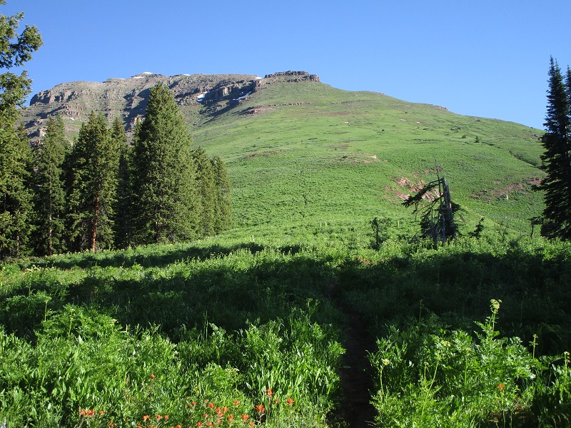
the beginning of the trail, with teocalli's south ridge above to the right
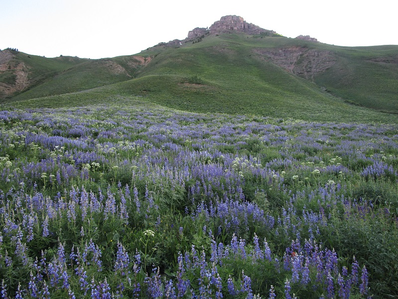
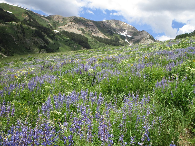
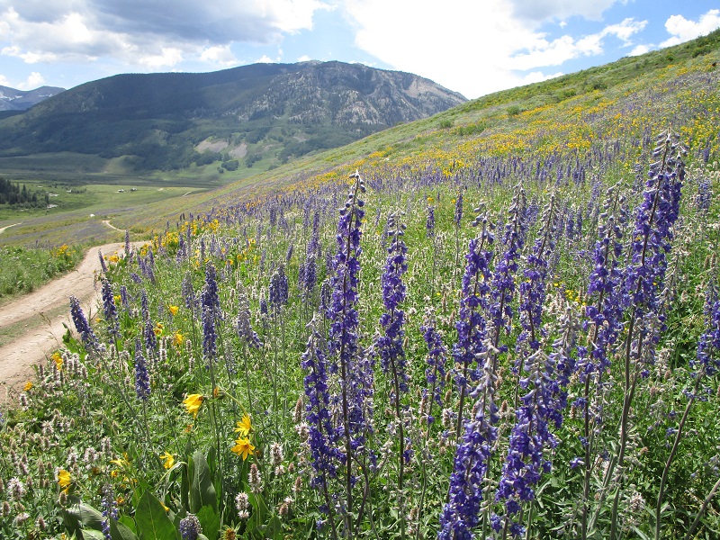
At 640 am we headed up the excellent trail to the north and it soon swung to the right and made an easterly ascending traverse across the open lower slopes of Teocalli. There were prolific stands of lush wildflowers everywhere, among the finest displays one could find anywhere.
wildflowers on the slopes below teocalli
on the trail ascending teocalli's lower southwest slope
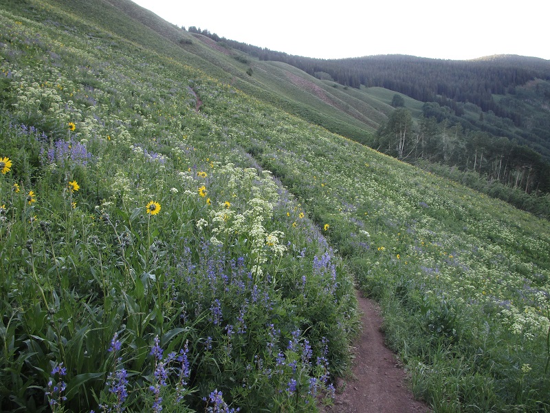
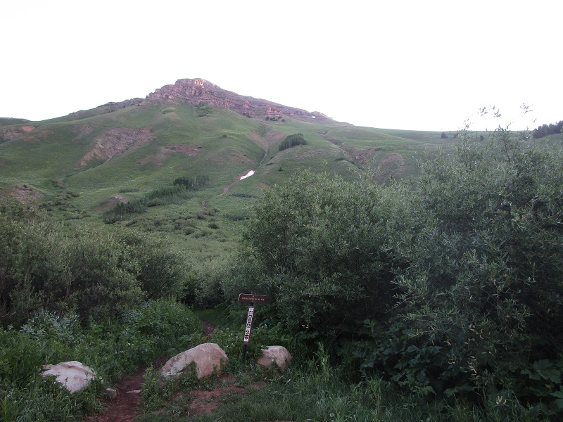
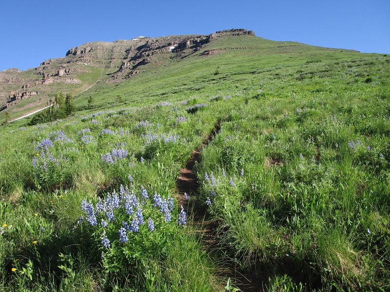
After about 1.2 miles we reached a junction in the woods at 11,100’ where the Teocalli Ridge Trail, immensely popular with bikers, went south down the ridge through the woods. We turned left onto a trail that headed north toward Teocalli. In a couple of hundred yards we emerged from the woods at timberline and continued on the trail up the increasingly steep grassy slope on Teocalli’s south ridge. The commanding views and lush wildflowers made this a special place.
we followed the trail up the grassy slope straight ahead
getting higher on the slope
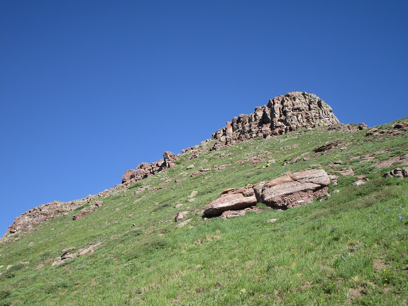
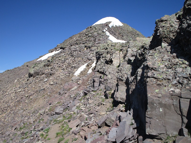
At about 12,600’ we reached a rough rocky area and veered to the left through a gap in the rocks on a use trail and continued ascending on very reasonable grass and rocky terrain along the left side of the ridge.
the trail took us through the rocks near the center of the photo
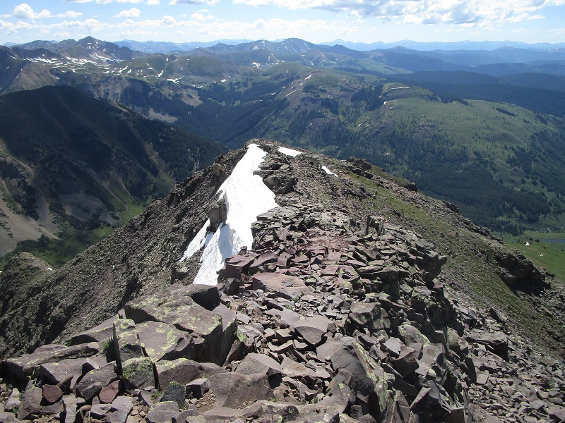
on the ridge to the summit, which is just beyond the snow cap at the left
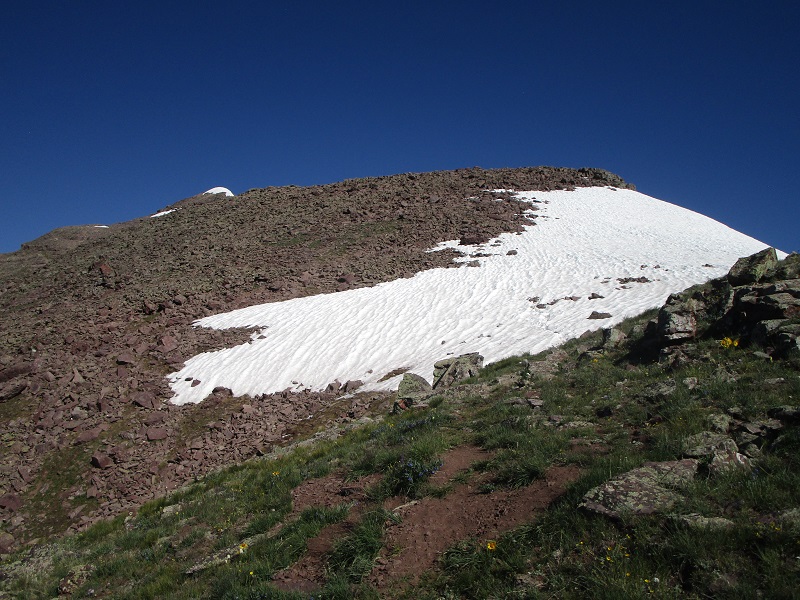
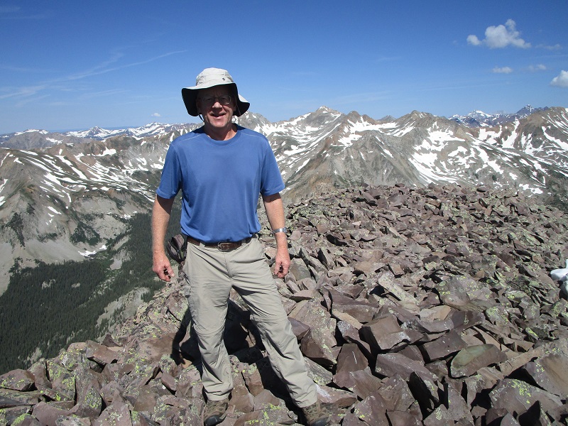
We made a minor detour to the left around a couple of small snowfields and presently stepped on the summit at 10.
approaching the summit
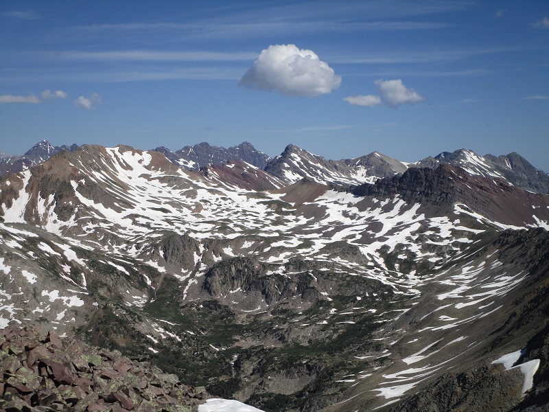
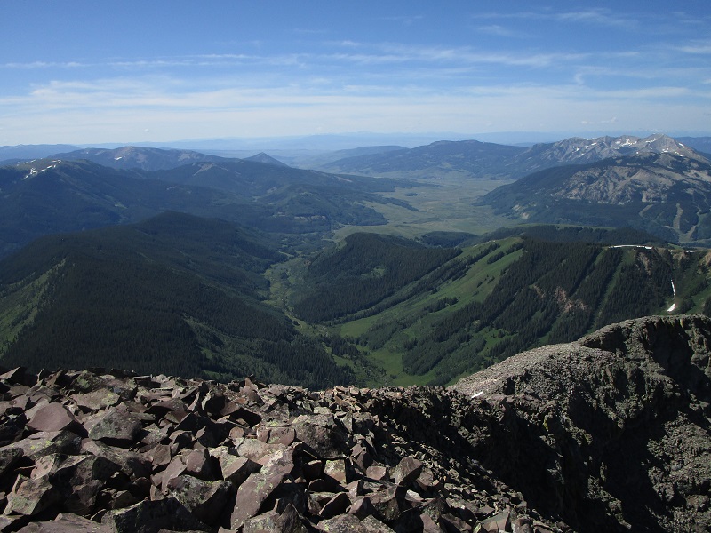
The view of the surrounding Elk peaks was spectacular. The summit register showed that 14 others had signed in before us this year.
castle peak
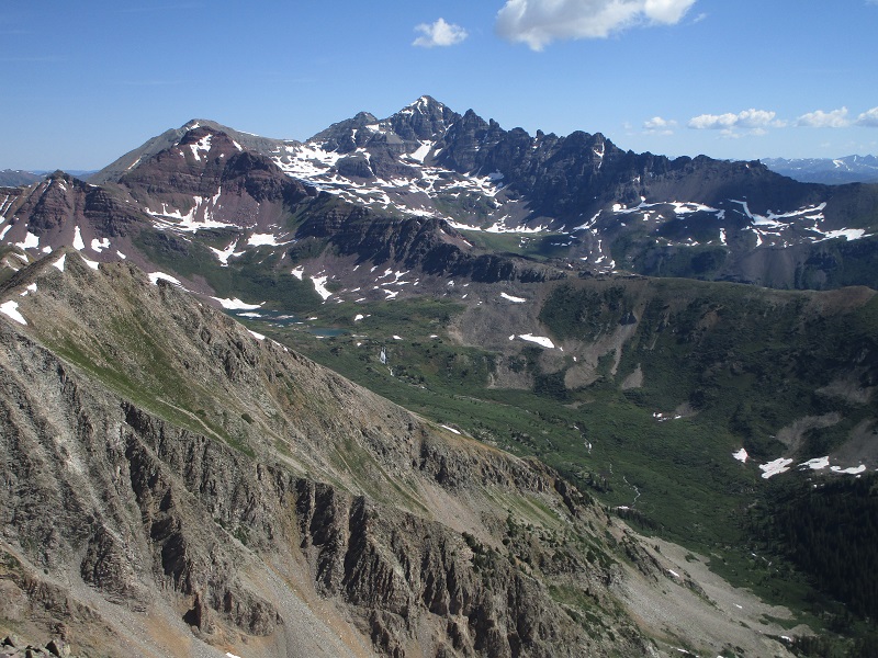
south maroon peak, left, and pyramid peak, right, are on the distant ridgeline toward the left
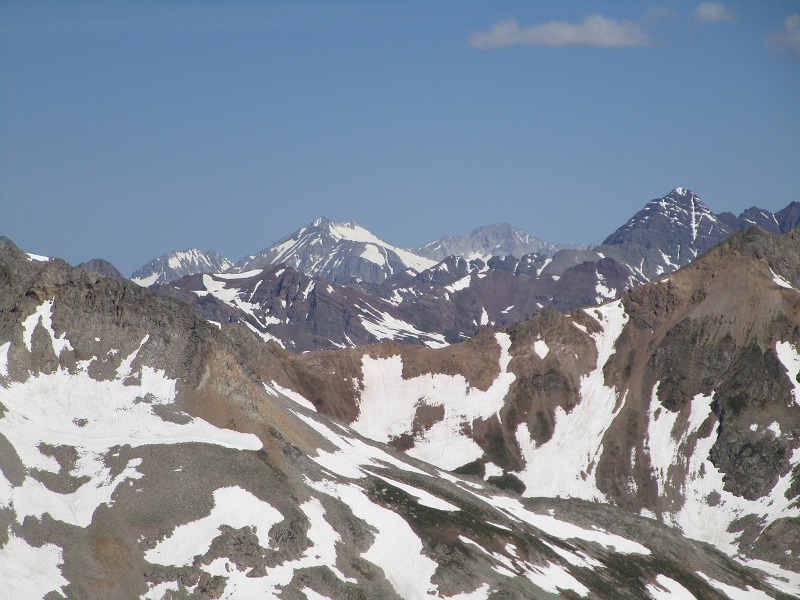
snowmass, capitol, and south maroon peaks, left to right
i really enjoyed this climb
the crested butte ski area, with the town of crested butte at the far right

the west brush creek valley that we drove up
After 20 minutes we left and headed back down.
heading back down the ridge from the summit
We met a lone climber coming up the ridge, four more on the grassy ridge below, and numerous bikers coming up the lower section of the trail. We stopped for numerous photos of the stunning wildflowers before returning to the truck at 1250. What a great climb in a beautiful place!
wildflowers along the trail on the way down
wildflowers along the lower part of the west brush creek road
Since our climbing day ended rather early, we found it necessary to treat ourselves to some ice cream in Crested Butte afterwards.