TOM’S THUMB HIKE, AZ
January 11, 2019
By Tim Briese
4.6 miles, 1300’ elevation gain, 3:20 roundtrip time
My wife Teresa and I took our friends Rod and Jeannie to do the hike to Tom’s Thumb, a 140 foot high monolith standing on a ridgeline in the McDowell Mountains northeast of Phoenix. It lies in Scottsdale’s McDowell Sonoran Conservancy, a beautiful recreational area replete with fine trails. We had been on part of the trail before but not all the way to the Thumb. We arrived early in the afternoon and found a few dozen other vehicles parked in the extensive parking area. The trail through the desert climbed gently for a while but then switchbacked in earnest up to higher terrain to a junction at a saddle. It was a beautiful 65 degree January day.
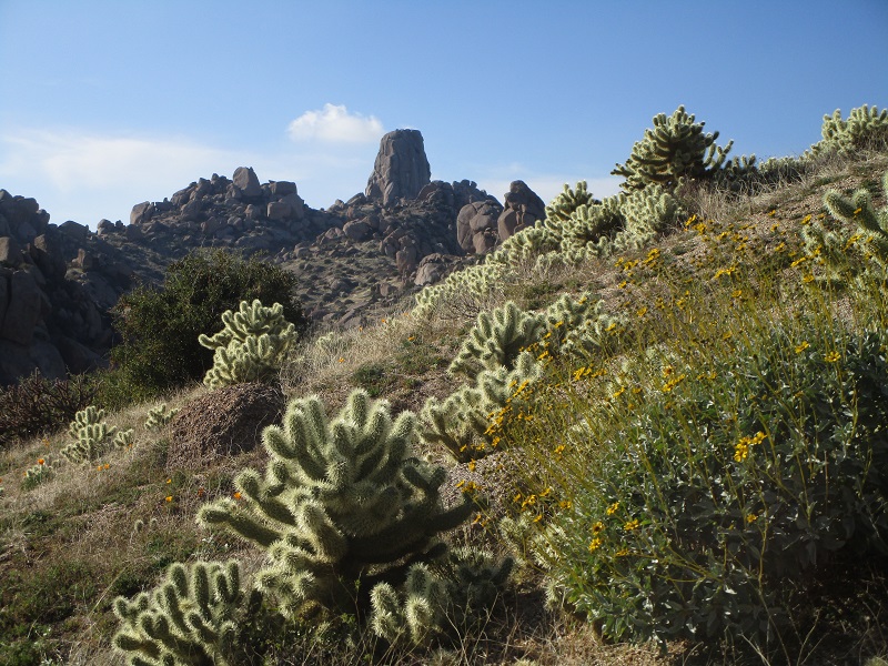
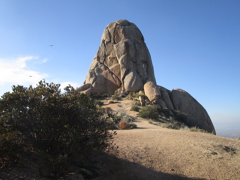
tom's thumb is the tower on the ridgeline. there were lots of cholla cactus on this slope
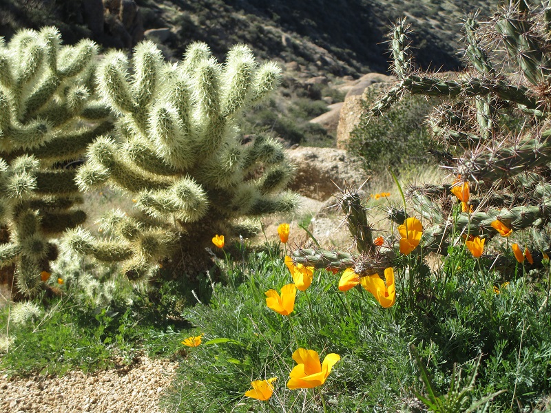
poppies were already blooming in mid january
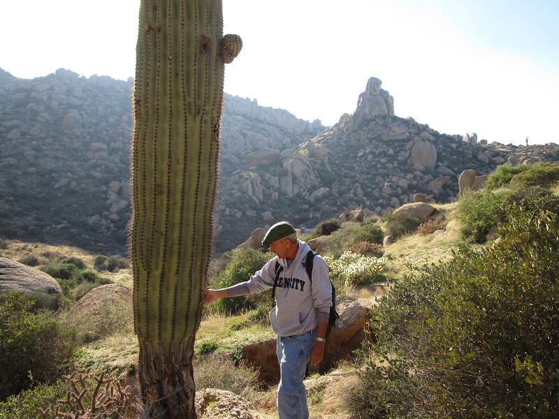
rod is carefully checking out a saguaro
At the saddle the trail swung sharply around to the right and climbed a little more as we approached Tom’s Thumb. We passed interesting granite rock formations along the way.
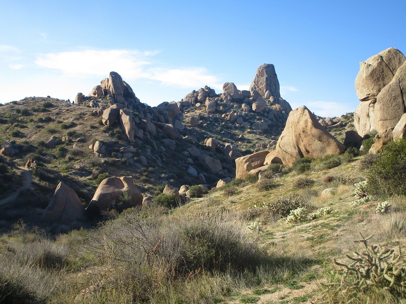
on the way to tom's thumb
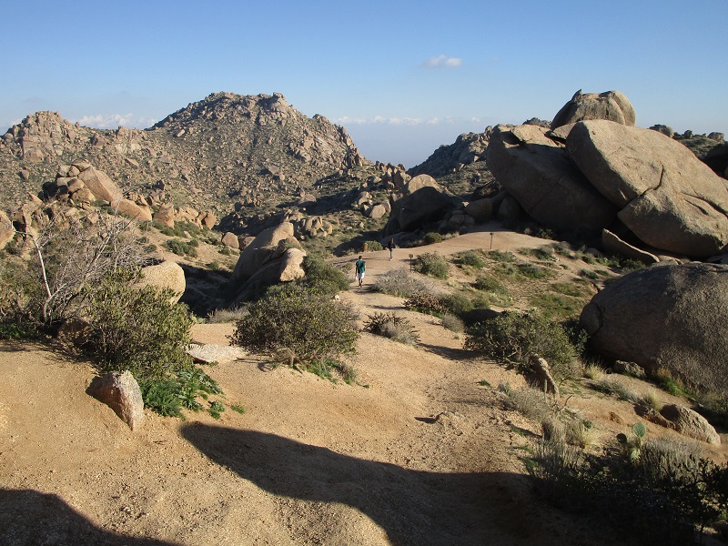
getting close
Presently we hiked right up to the base of the tower and spent a few minutes exploring and enjoying the panoramic views. There were some rock climbers enjoying their sport on the cliffs below to the northeast.
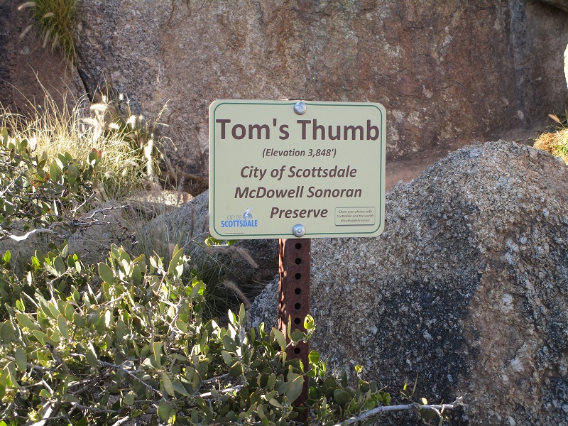
sign at the base of the tower
heading back down the trail from tom's thumb
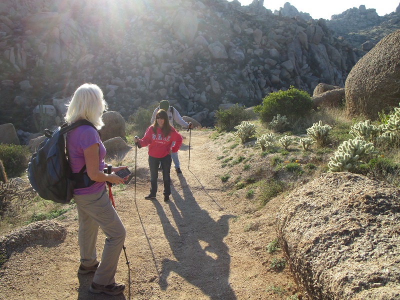
teresa, jeannie, and rod taking a break on the way back
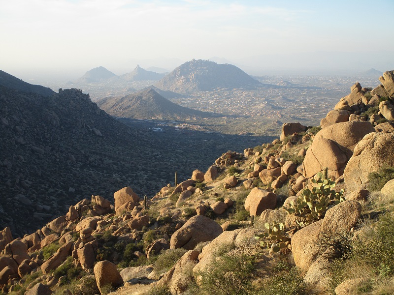
a nice view on the way down
We hiked back down to the car and departed late in the afternoon. This is a nice little hike that is well worth the effort.