TREASURY MOUNTAIN
(13,462’)July 21, 2014
By Tim Briese
5.8 miles, 2200’ elevation gain, 6:10 roundtrip time
I had not climbed any peaks before in the very scenic area north of Crested Butte and so looked forward very much to climbing there with Brian over the next couple of days. This was the height of the wildflower season and the weather promised to be beautiful, which added to the anticipation.
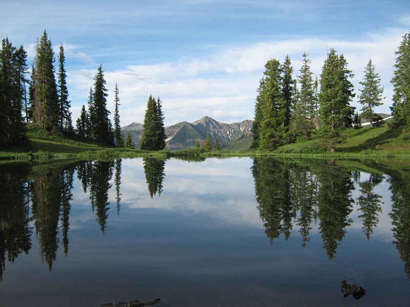
We left Crested Butte about 7 am and headed north on the Schofield Pass Road, admiring the outstanding scenery along the way. This road had been closed by snow just south of the pass only a few short weeks before but it was fine now. Just past the pass we turned left onto the Paradise Divide Road which proved to be a little rougher. We narrowly skirted past a big washout in the road but otherwise made it without incident to Paradise Flats on the divide. This was a very scenic place, with a charming little lake set in a bowl on the crest of the divide.
the lake at paradise flats
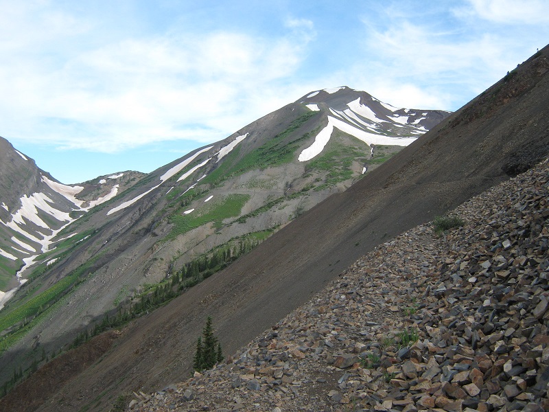
We drove north about 0.2 miles to a parking area at the 11,300’ trailhead. At 8 am we headed north on the Yule Pass Trail. We promptly came to a washed out area with a very long steep slope to the left which we carefully navigated past. The trail traversed north along a steep scree slope on the western side of Cinnamon Mountain.
brian on the first part of the yule pass trail

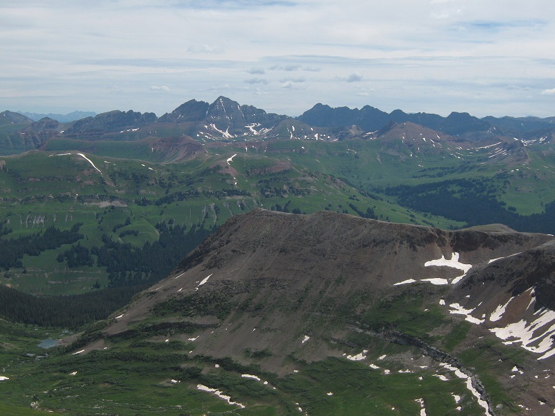
the trail is in the foreground, yule pass is to the left, and treasury mountain is to the right
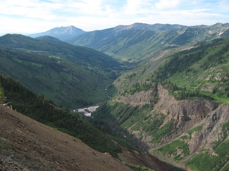
There was a very impressive view down into the Slate Creek drainage, a deep gorge whose bottom lay about 1500 feet below.
the slate creek drainage
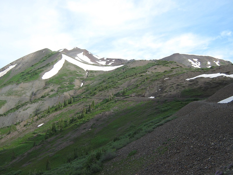
After hiking less than a mile we left the trail and climbed a short distance up to the right to a saddle between Treasury and Cinnamon Mountain in order to gain the southeast ridge of Treasury.
the saddle is at the far right, and treasury mountain is to the left
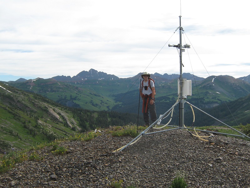
We followed the easy ridge as it curved northwest toward our summit. We stopped to look at a weather station perched on the ridge.
brian by the weather station. the maroon bells lie in the distance to the left.
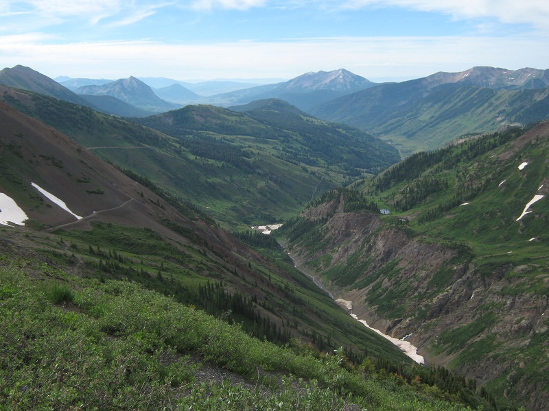
view to the south down the slate creek drainage toward crested butte in the distance
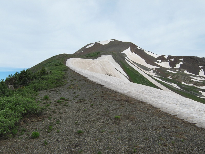
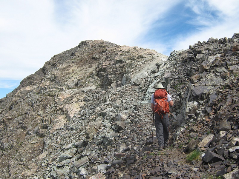
the ridge up to the summit, (or at least a false summit)
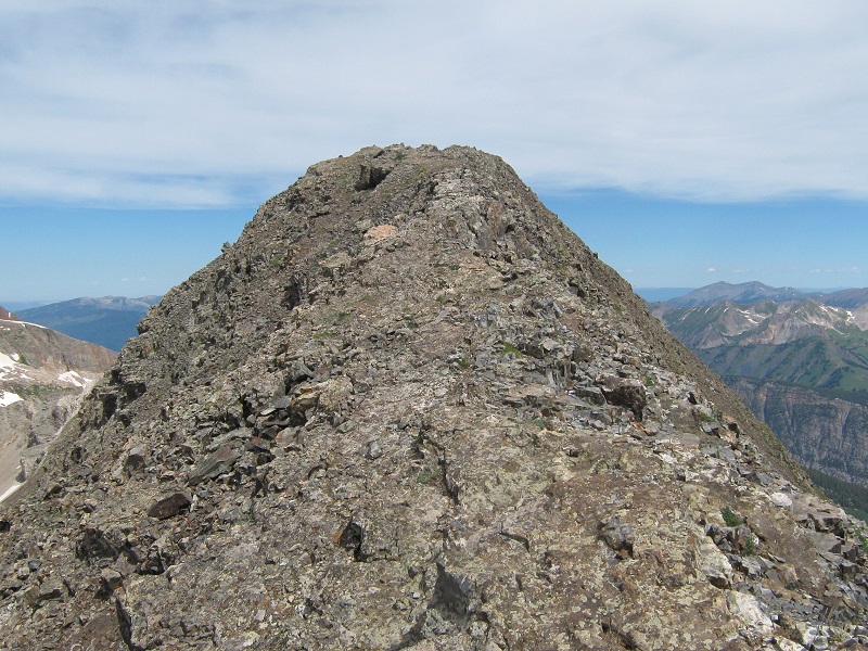
At about 13,200’ we reached a small plateau and could see the summit ahead.
getting closer to the summit
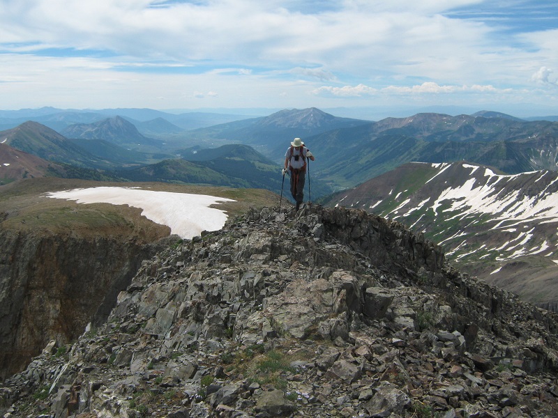
The final push to the top involved a fun Class 2 climb along the crest of an airy ridge.
things started to get a little rougher
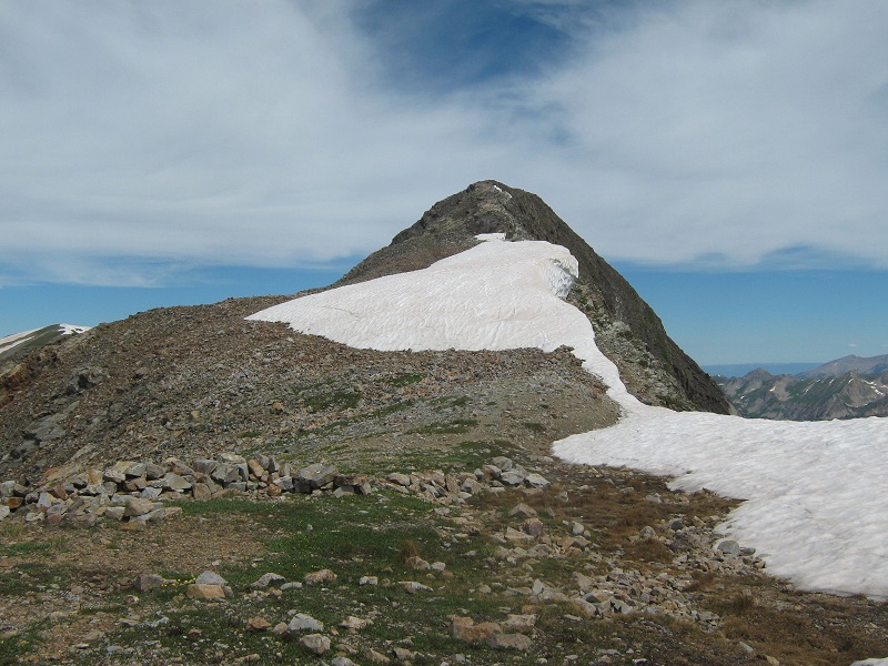
nearing the top
a nice airy ridge
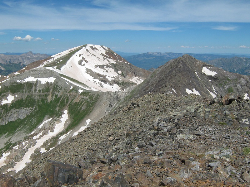
We arrived on top about 10:50. The scenery was so magnificent and the weather so pleasant that we sat on top for an hour and twenty minutes enjoying it all. This was a fine vantage point to survey the beautiful Maroon Bells-Snowmass Wilderness Area, with nice views of Capitol and Snowmass, the Maroon Bells, and nearby Treasure Mountain.
capitol peak, snowmass mountain, and hagerman peak
the maroon bells, and pyramid peak beyond to the right
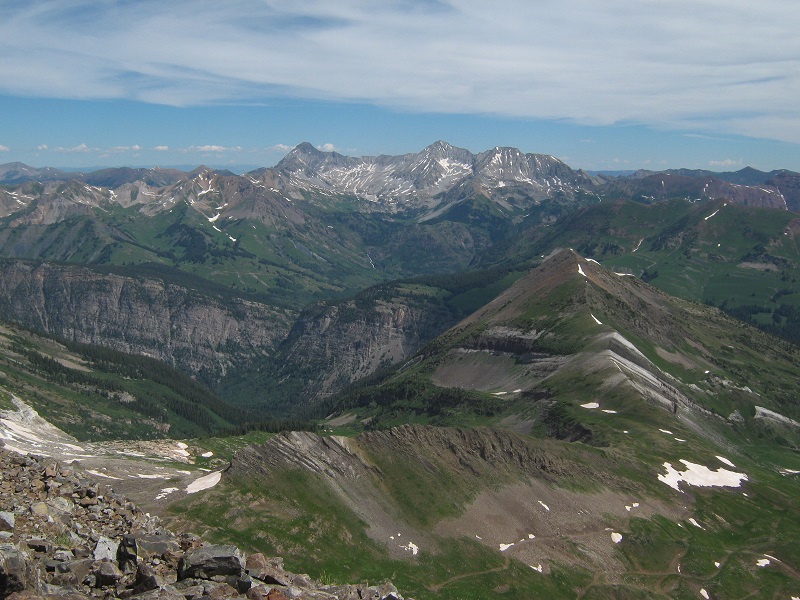
treasure mountain, the peak with all the snow on it
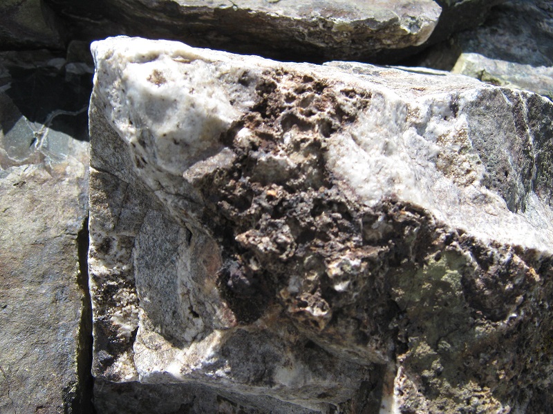
We thought of trying to traverse over to Treasure Mountain but a stretch of the ridge is very rough and in the end we decided to save that peak for another day via another route. There were interesting fossils in some of the rocks on the summit, indicating that this landscape was far different in the past.
fossils in a rock
We had seen 5 or 6 climbers coming up behind us on the ascent but they did not climb to the summit but just went to the plateau and then headed back down to the vicinity of the saddle where we later saw them examining the tundra flora. We concluded that they may have been a group of students on a research project.
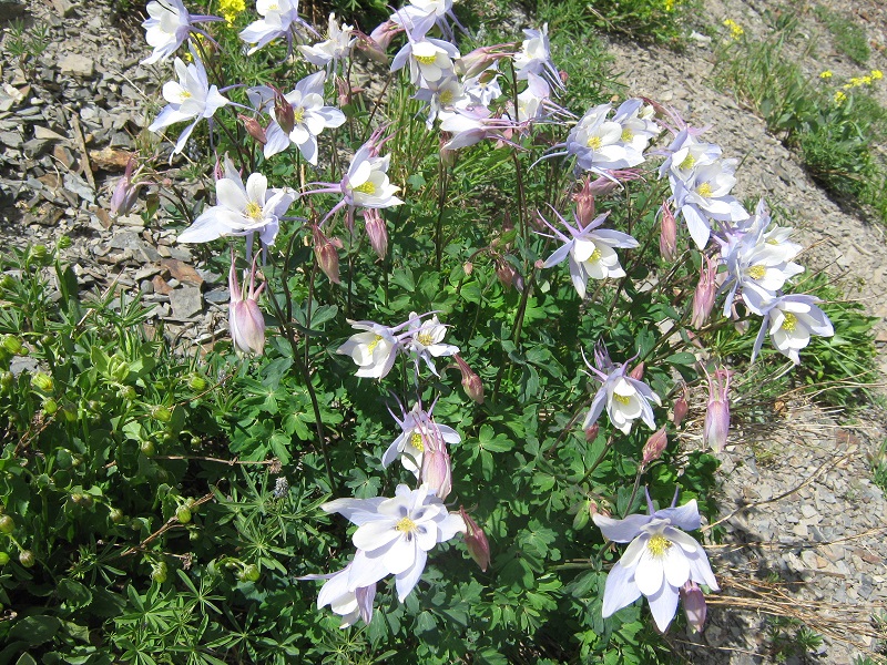
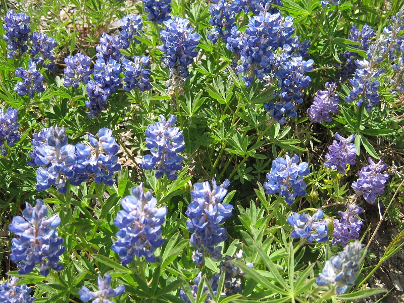
Eventually we left the top and hiked back down the easy ridge, stopping to admire beautiful stands of wildflowers along the way.
a nice stand of columbines
more wildflowers growing on the tundra
We thought about climbing Cinnamon Mountain on the return but could not round up the motivation to do it. We got back to the trailhead a little after 2 pm. For a bit of variety we headed south down the scenic Slate Creek Road, immediately encountering some airy shelf road switchbacks before eventually descending over 1500 feet into the beautiful valley and following the road back to Crested Butte. This was a fine mountain outing in a very scenic area.