TRINCHERA PEAK
(13,517’)"LEANING SOUTH PEAK"
(13,203’)CUATRO PEAK
(13,487’)June 12, 2012
By Tim Briese
8.5 miles, 3600’ elevation gain, 7:15 roundtrip time
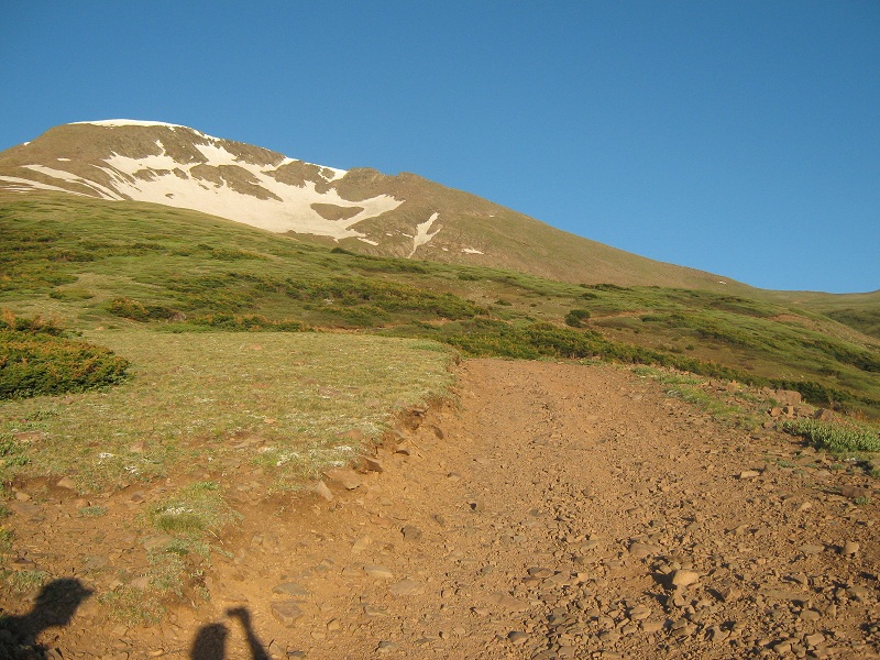
Brian and I left Walsenburg about 4:30 a.m. and drove to meet Mark Silas, who was joining us on the climb today. We met him at the junction on Highway 12 a few miles south of Cuchara where a dirt road heads west up to the Blue Lakes Campground. We drove in my truck up to the campground and turned left onto a 4WD road marked "Trinchera Peak" and followed this steep road almost two miles up to 11,600 feet where the road was blocked by snow. Driving up the 4WD road this far saved us about 1000 feet of climbing and 4 miles of hiking as compared to starting the hike from the campground. At 5:55 we embarked on foot up the old road and followed it high up above timberline.
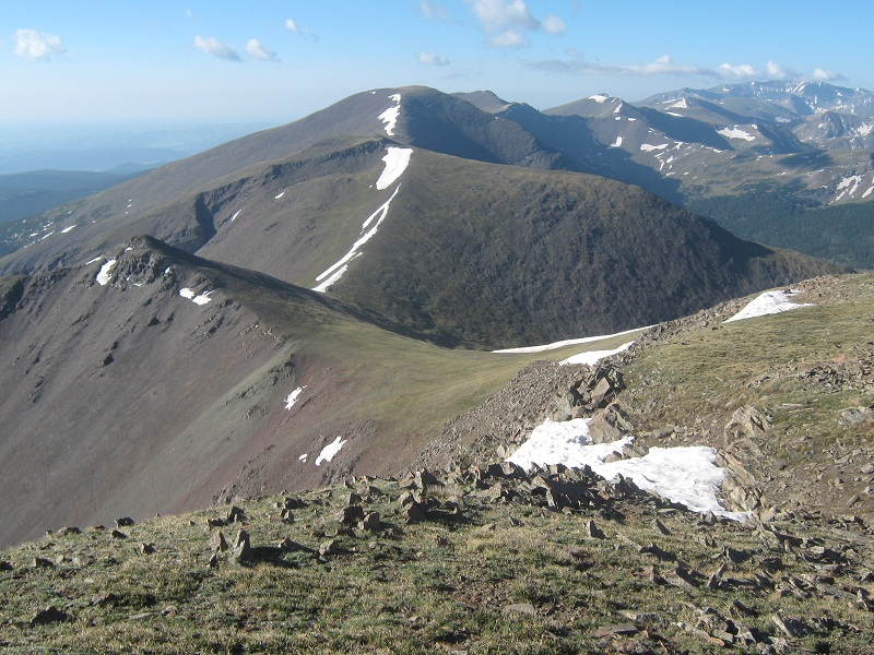
we hiked up this road almost to the saddle at the far right. trinchera peak is at the upper left
A strong wind was whipping out of the west and we paused to don some wind gear. We left the road and hiked up a grassy slope to the vicinity of the 12,600 foot saddle on Trinchera's north ridge, and turned left and hiked up the ridge to the summit. The ridge was a little rocky in places but for the most part the going was pretty easy.
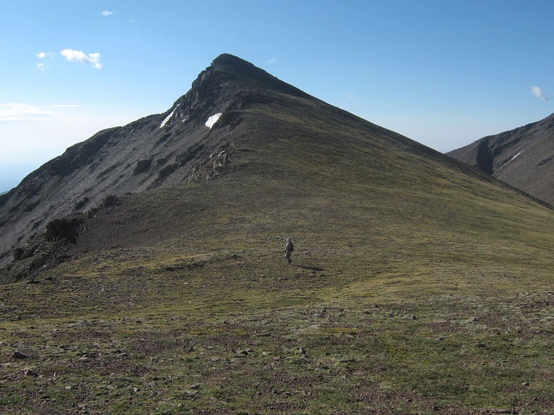
mark hiking up the ridge
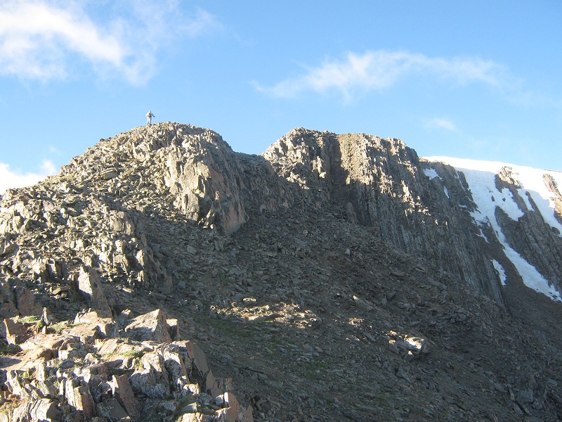
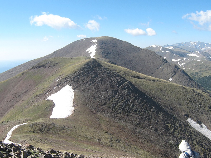
approaching trinchera's summit
We arrived on the summit at 7:40 and took a short break.
on trinchera's summit
The rest of our route along the ridge south to Cuatro Peak was clearly visible from this vantage point.
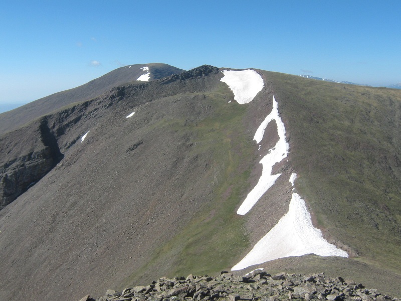
view to the south: "leaning north peak" at the left, "leaning south peak" in the center, and cuatro peak at top center
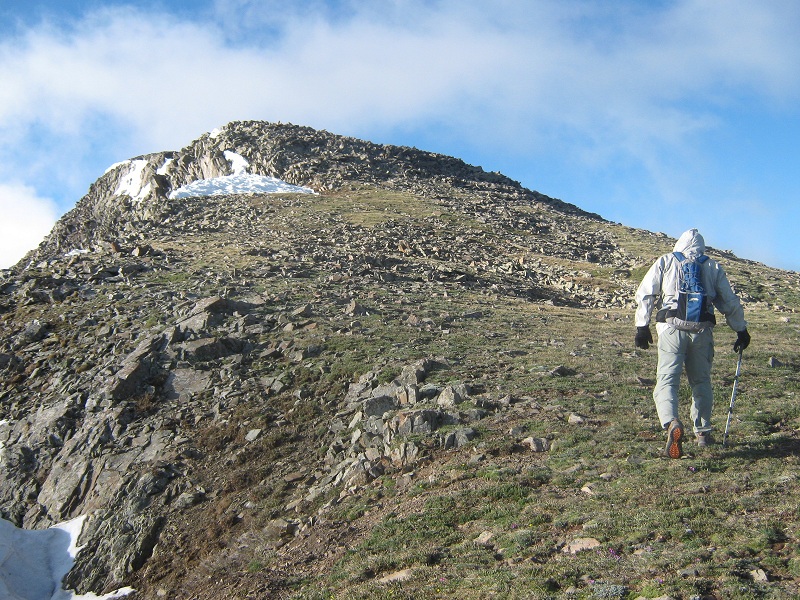
We headed down the slope to a saddle to the south and quickly climbed about 200 feet up to the top of unranked "Leaning North Peak" (13,100’).
at the saddle on the way up to leaning north peak
Along the way Mark and I were eyeing possible return routes, including a possible traverse across the steep southeast face of Trinchera in order to avoid reclimbing it.
looking back at trinchera peak from leaning north
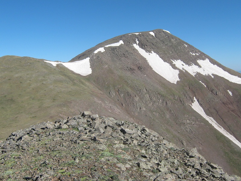
the view to the south from the summit of leaning north, of leaning south and cuatro beyond at the left
We left Leaning North at 8:30 after a five minute stay and made our way down and then up again along the easy grassy ridge to Leaning South, where we arrived at 9:00. After a 15 minute break we left and continued south to Cuatro, going over an intermediate hump along the way.
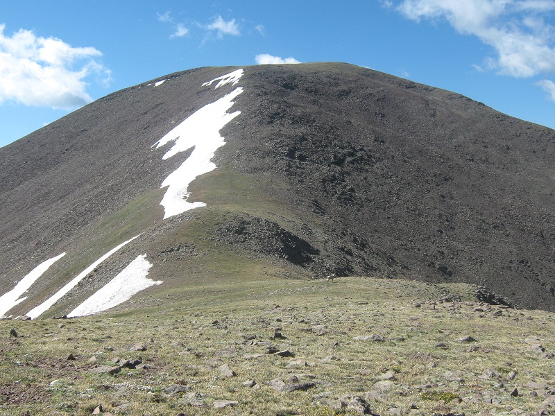
view of cuatro peak from leaning south
approaching cuatro
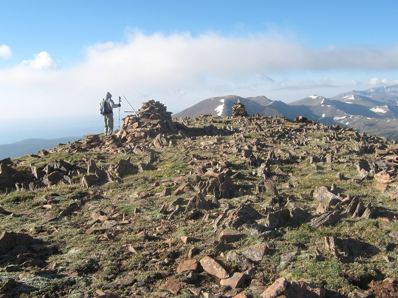
Mark arrived on Cuatro a few minutes before Brian and I got there at 10:15. We checked out a rocky point about 100 feet to the south and determined with our GPS units that it was about 7 feet lower than the true grassy summit.
the rocky point at the right almost appears higher than the true summit at the left, but it is not
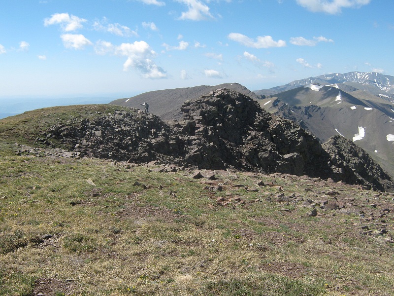
It was nevertheless fun to scramble over there.
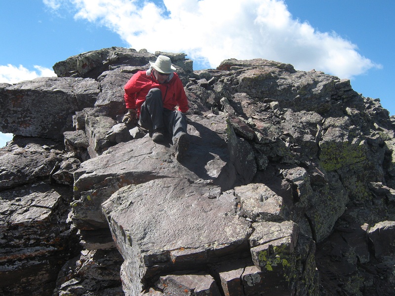
brian scrambling off the rocky point
We looked at the rough ridge to the south to Maxwell Peak and decided not to chase after it today. We lounged around on Cuatro for over half an hour.
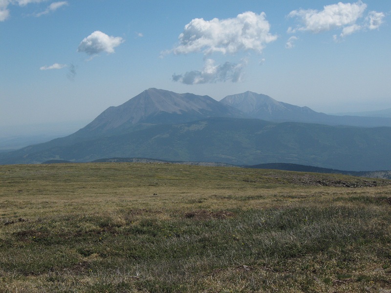
view of the spanish peaks from cuatro
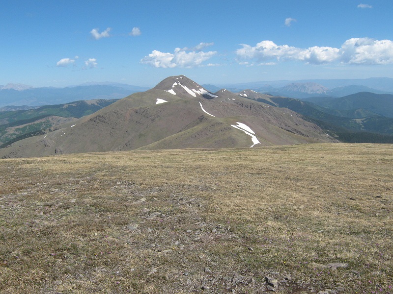
looking back north at trinchera from cuatro
We were finally nudged to depart by a line of clouds starting to build in the west. We made our way back north along the ridge, traversing around points to save elevation re-gain as best we could. Clouds exploded into the sky with astonishing speed so we elected to escape off the ridge by making a steep descent down a talus slope to the east from the saddle between Leaning South and Leaning North. It was a good thing we did because thunder soon rumbled and intermittent showers of sleet pelted down. We made a fun bushwhack traversing north below cliff bands through varied willowy and rocky terrain back to the road. We hiked down the road back to my truck, where we arrived at 1:10, somewhat earlier than we had anticipated.