TUNDRA TOP
(13,450’)CATARACT PEAK
(13,524’)CONEY BENCHMARK
(13,334’)August 20, 2016
By Tim Briese
Tundra Top and Cataract Peak: 9.1 miles, 2700’ elevation gain, 6:50 roundtrip time
Coney Benchmark: 1.0 miles, 200’ elevation gain, 0:40 roundtrip time
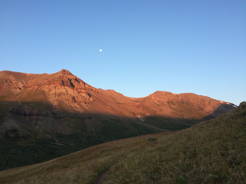
I met Brian for dinner in Lake City and afterwards we four-wheeled with both of our vehicles up the Wager Gulch Road to the old townsite of Carson. The road was in surprisingly good condition and we made good time on it. We truck camped in a meadow near the townsite at about 11,600' elevation on this clear, cold, and frosty night. The next morning we took off in my truck at 530 am and drove a mile and a half on up the road to 12,400 foot Carson Pass. We found this stretch of road to be rougher but still reasonable. From the pass we continued down the other side on a narrow dirt road about half a mile to a place where the Colorado Trail goes west, and parked there, at 12,150 feet. At 6 am we took off on the excellent Colorado Trail, which is also the Continental Divide Trail here. We followed the trail across easy terrain just over three miles to a broad saddle at 12,900 feet, spotting many elk and a couple of coyotes along the way.
early light as we hiked on the trail. we are headed to a saddle at the far right off the photo.
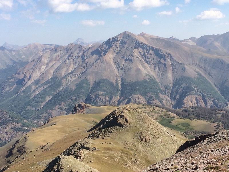
view of unnamed 13581 across the valley, which we climbed in 2010
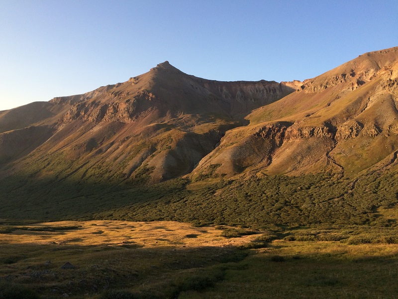
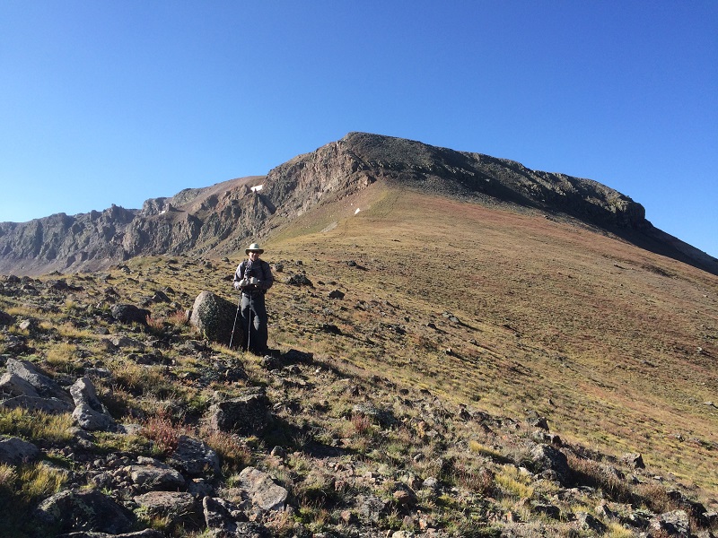
taking a break at the saddle. the slopes up to tundra top lie beyond.

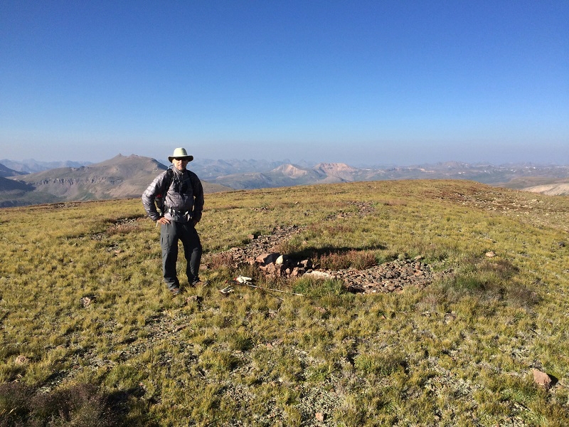
After a break at the saddle we headed up a gentle grassy slope to the northwest and climbed 500’ in about 0.7 miles to the broad summit of Tundra Top, where we arrived at 830. The flat summit was so spacious it could easily accommodate a football field.
on the broad summit of tundra top
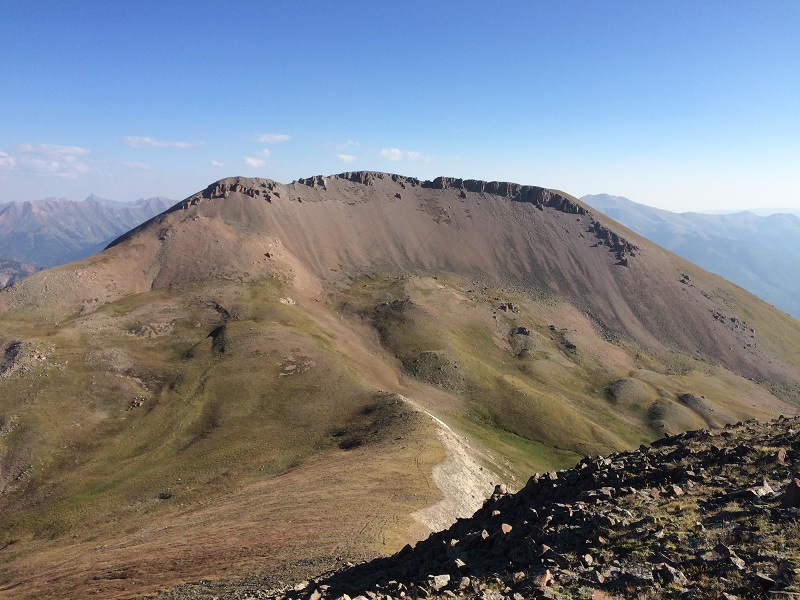
After a few minutes we headed north toward Cataract Peak.
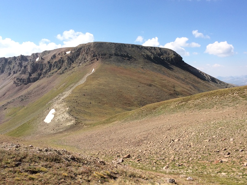
cataract peak from tundra top
We descended about 150 feet through a rocky area then found easy terrain down to the 13,100’ saddle between the two peaks.
at the saddle, looking back up at tundra top
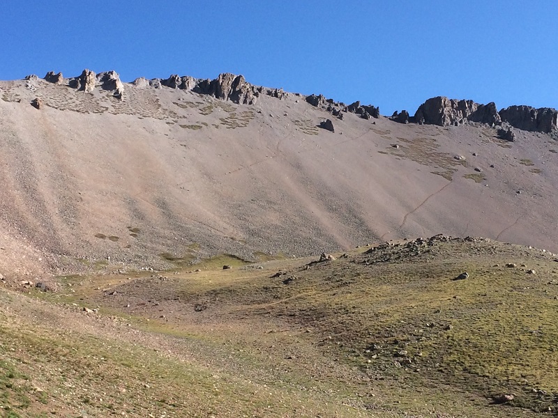
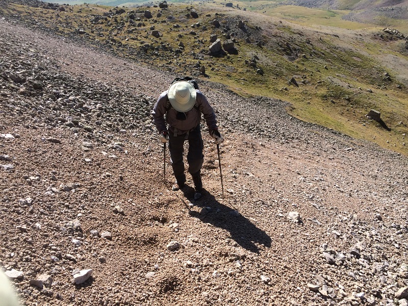
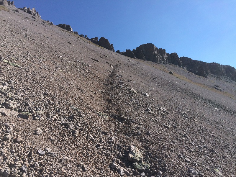
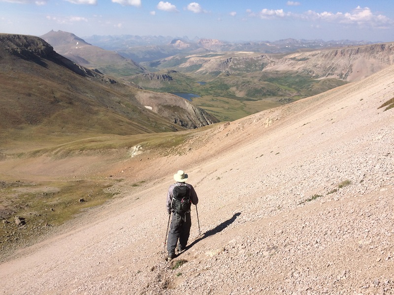
We continued from the saddle and found a very reasonable trail up a loose scree and gravel slope on Cataract's south side.
there were several trails up this loose slope, but the one in the center looked most gradual with the best footing to us
brian coming up the gravelly slope
the trail up the slope
We stepped on top of Cataract Peak at 930 and spent a nice half hour on the summit in spite of a chilly west wind.
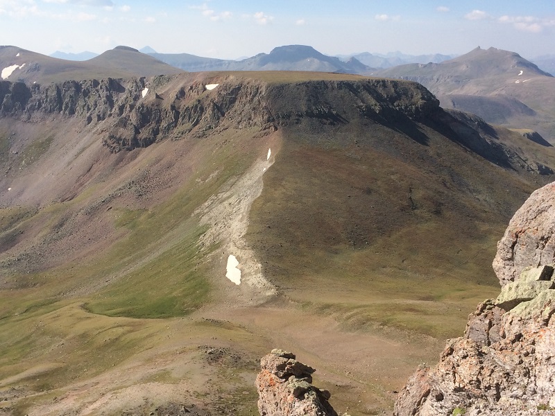
view of tundra top from cataract. pole creek mountain lies directly beyond, with the shadowed summit.
cataract lake, with the needle mountains beyond in the distance
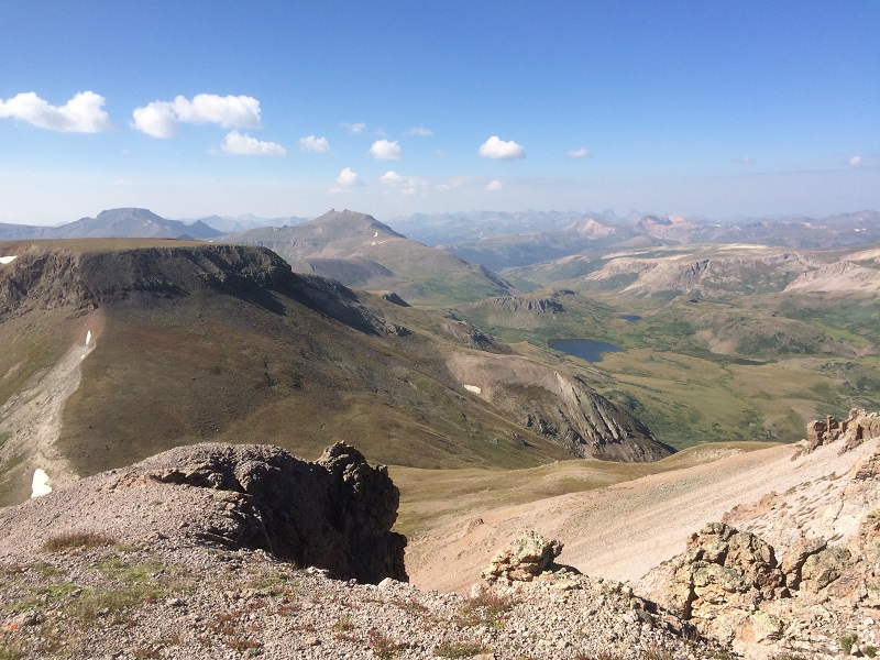
view of sunshine and redcloud peaks across the valley to the north, with uncompahgre and wetterhorn in the distance at the left
When we left the top we quickly retraced our steps down to the saddle and back over Tundra Top.
going back down the loose slope
on the way back to tundra top
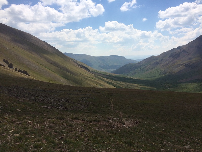
We soon reached the Colorado Trail and cruised back on it, at one point spotting some moose down in the willows in the valley below.
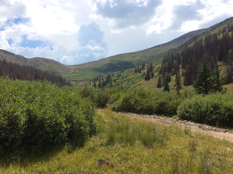
on the gentle colorado trail heading back down the valley
We returned to my truck at 150 pm.
It was still early and the weather was excellent so Brian proposed that we check out Coney Benchmark, another 13er a couple of miles to the northeast. We drove back up to Carson Pass on the dirt road.
the road back up to carson pass
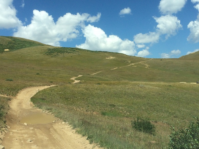
At the pass we turned right on another dirt road, FR 518, and climbed steeply up to a plateau at almost 13,200 feet. The last stretch of the road to get up there was very steep so I put my truck in low range and I was glad we didn’t meet anyone. We parked at this lofty spot and quickly bushwhacked a half mile across the tundra north to Coney BM, with minimal elevation gain. 13ers don't get much easier than this. On the way we crossed over the Colorado Trail at its highest place in Colorado, at 13,271’.
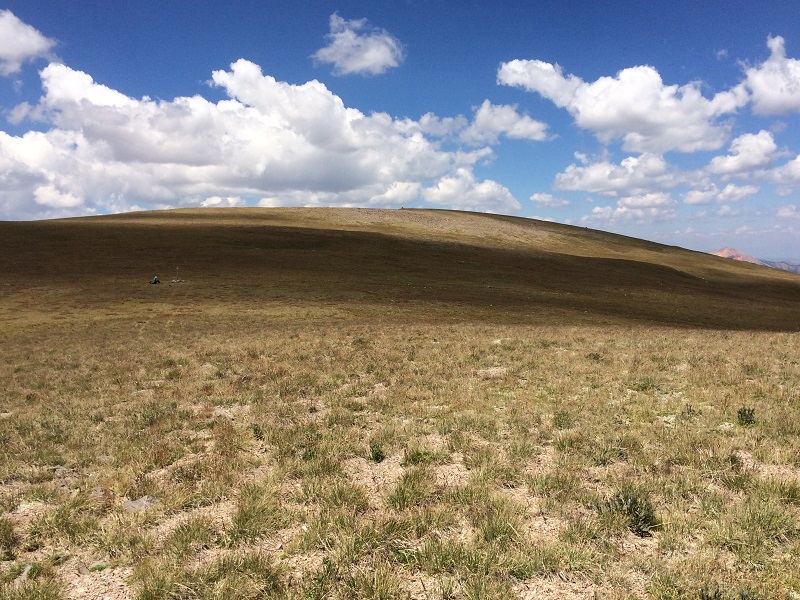
the easy slope up to coney benchmark. a hiker can be seen sitting at the left on the colorado trail
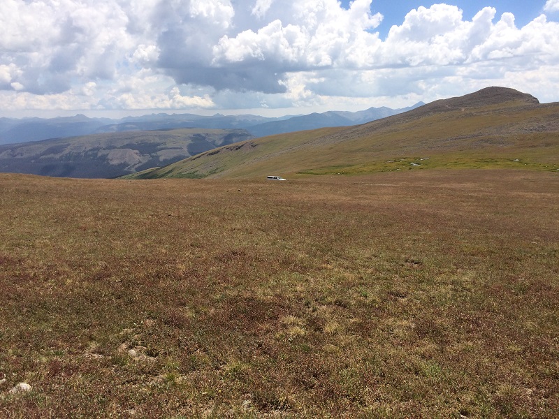
looking back at my truck parked along the road in the tundra
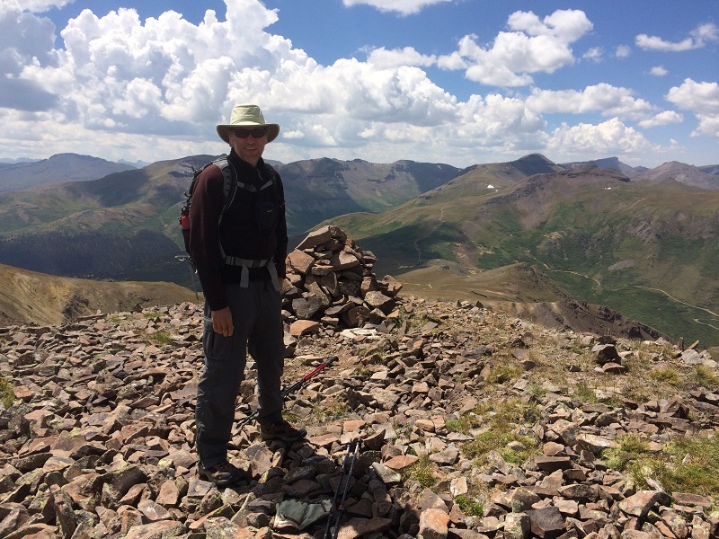
brian on coney benchmark. carson pass is visible beyond the right side of the cairn.
After a short visit to Coney we hiked back to my truck and drove back down to Brian’s Highlander.
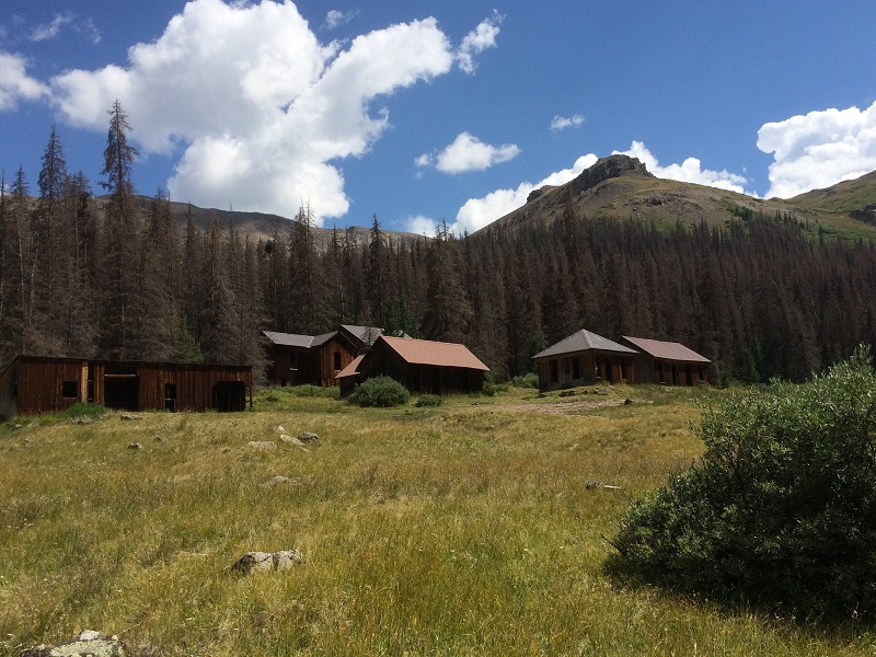
the old townsite of carson, near where we truck camped
looking up at carson pass from the townsite
After a short break we headed down to Lake City for a shower and dinner.