NORTH TWIN CONE PEAK
(12,323’)MOUNT BLAINE
(12,303’)SOUTH TWIN CONE PEAK
(12,340’)October 26, 2016
By Tim Briese
14.7 miles, 3200’ elevation gain, 8:50 roundtrip time
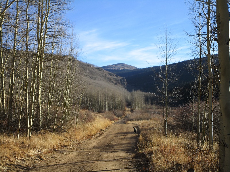
I drove to Kenosha Pass on this beautiful October morning and headed east on FR 126, per the nice directions in the Roachs' book, "Colorado’s Lost Creek Wilderness." After 1.2 miles I came to a gate with private property denoted beyond and parked there. The elevation here was about 10,100 feet. As it turned out I could have opened the gate and driven almost 2 miles further up the road but I didn’t mind walking the extra miles today. At 820 I headed up the road beyond the gate with my lab Abby. It was cold and frosty at first, with a temperature of 25 degrees, but as soon as I hiked out into the sunlight it rapidly became more pleasant. The day was exceptional for late October, mild with almost no wind, and I hiked most of the day in shirtsleeves. The road was quite gentle for a while and went past several private cabins.
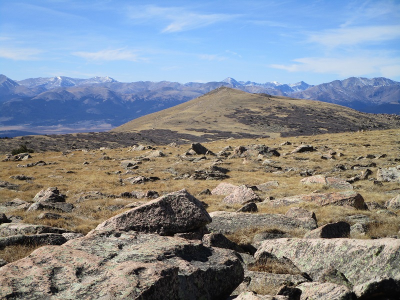
the road i hiked on, with south twin cone peak straight ahead
I reached another gate in a mile and a half or so where the private property ended and public land resumed. Soon the road began climbing in earnest with numerous switchbacks.
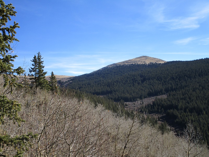
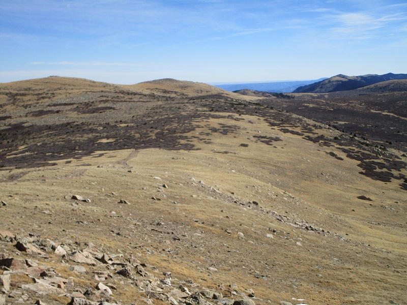
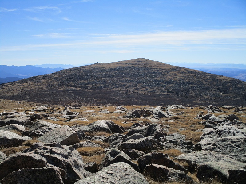
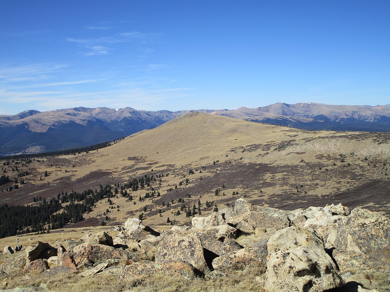
another view of south twin cone peak as i climbed higher on the road
At 3.9 miles, at about 11,300 feet, the road descended to the right a couple of hundred feet according to my map so I left the road and bushwhacked northeast through the woods about a half mile to regain the road and avoid the elevation loss. The Roach’s mention a faint road on this bushwhack route but I saw only scant evidence of it. Once I regained the road I followed it north toward North Twin Cone Peak. The road circles around and eventually goes all the way to the summit but I left the road at about 11,750 feet and headed directly up to the summit on an easy grassy slope.
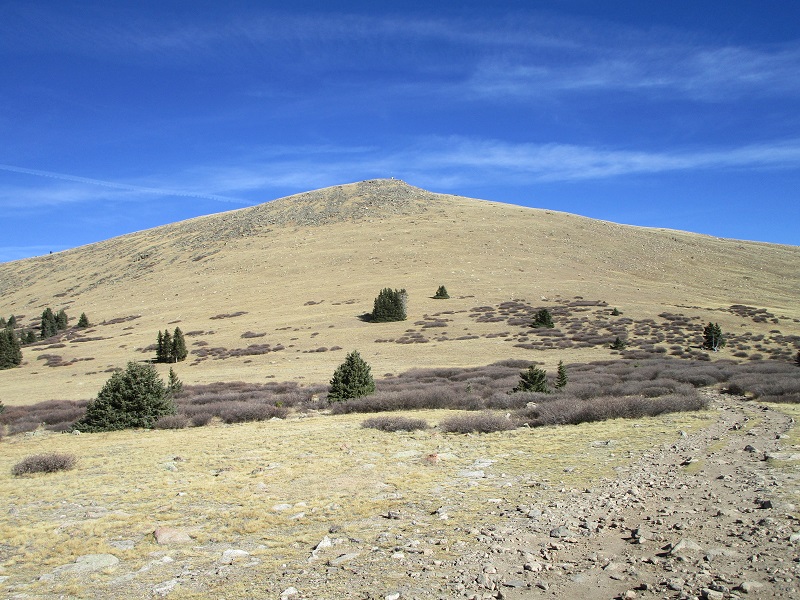
the road is at the lower right. i left it at the far right and hiked directly up to north twin cone, in the center.
I stepped on top at 1140 am. It was pleasantly calm and there was almost no snow on the peaks yet, which made for a great fall day for climbing. I rested for about half an hour on top enjoying the surrounding views.
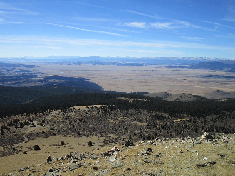
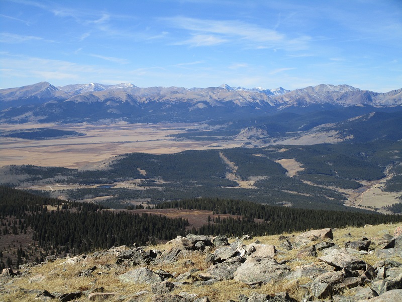
there was a nice view of south park from the summit
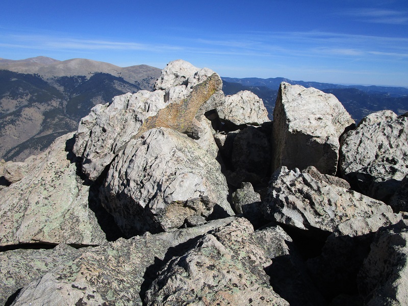
towers and a building on the summit

view to the west of mt. lincoln, quandary peak, and other peaks
mt. blaine, at the far left, is my next objective
south twin cone peak is at the far right

Then I took off and headed over to Mount Blaine, an unranked 12er about a mile away. The saddle between the two peaks is at about 12,100’ so the elevation regain is minimal and it took less than 45 minutes to get there. The summit of Blaine is a pile of boulders which required an easy class 3 scramble to touch the highest one.
approaching the summit of mt. blaine
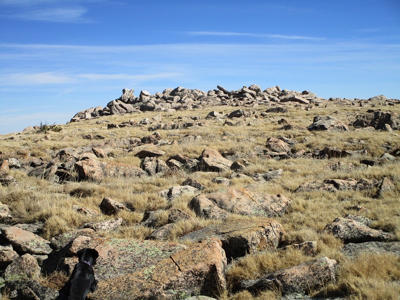
the boulder pile at the summit of blaine
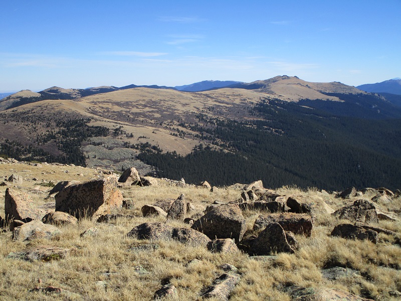
looking back at north twin cone from blaine
south twin cone from blaine
After 5 minutes I was off to South Twin Cone. It too was only about a mile away but there were a lot of willows and some talus to complicate things.
an ocean of willows as well as talus slopes guard the approach to south twin cone

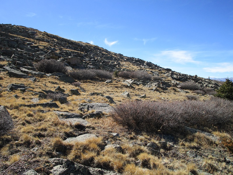
talus and grass on the slope up to south twin cone
I managed to pick my way through all the willows with minimal impact and went to the right around most of the talus and made a grassy walk up to the summit. I reached the top at 150, for a 50 minute hike from Blaine.
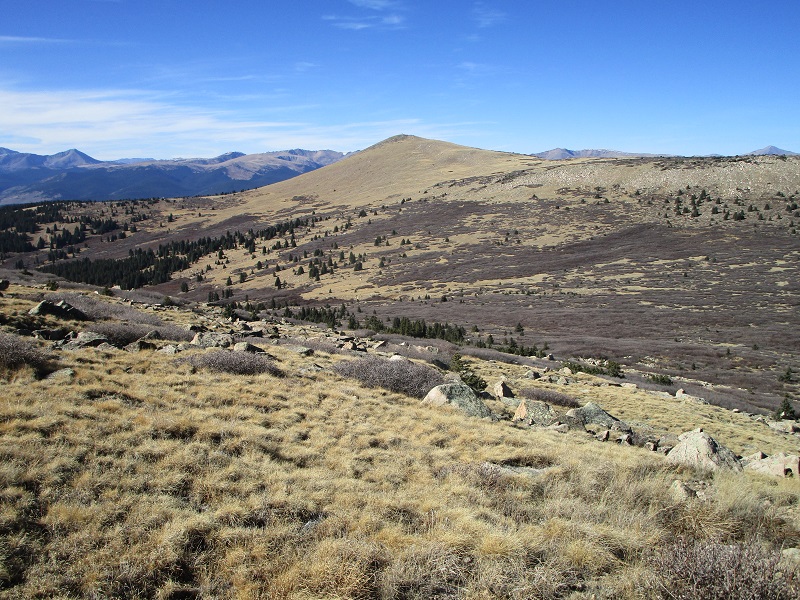
mount blaine, in the center, from south twin cone
north twin cone from south twin cone
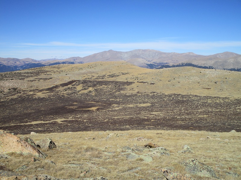
view to the southeast of other peaks awaiting a future outing
I carefully studied my descent route back down to FR 126 from the summit. There is an enormous sea of willows to the north and west of South Twin Cone and at first I thought I would have to retrace much of my route back around by North Twin Cone but I spotted a route down the drainage between the peaks and through some woods that looked mostly willow-free and quite a bit shorter. After 15 minutes on top I headed back down the slope to the north.
i went down into the drainage at the right, then went left on grass into the woods at the left
I weaved my way through the willows into the drainage and turned to the west and descended down the gentle drainage, managing to stay mostly on grass or in the woods along the north side of the drainage. I returned to the road at about 11,100 feet and headed back toward the trailhead. On the way down I met a couple of hunters coming up on 4-wheelers and then two more hunters in a pickup.
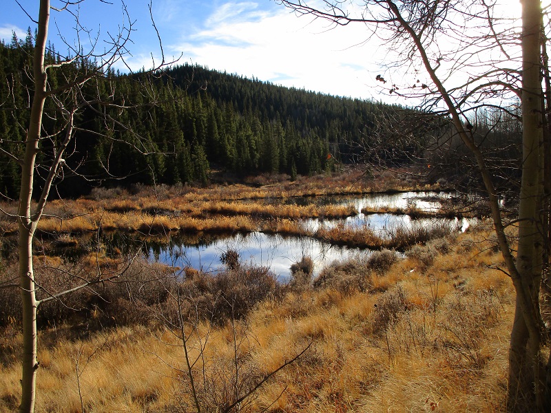
some scenic ponds along the road
I tramped back to the trailhead at 520 and loaded up and headed for home.