UNNAMED 8374
UNNAMED 8761
August 31, 2023
By Tim Briese
Unnamed 8374: 1.5 miles, 600’ elevation gain, 1:00 roundtrip time
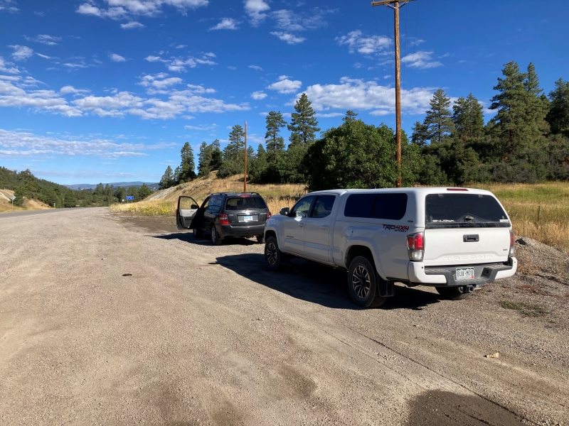
Brian and I drove east from Bayfield on US 160 to Yellowjacket Pass and parked in a spacious area on the north side of the highway.
we parked here along the highway and found a trail in the trees at the right
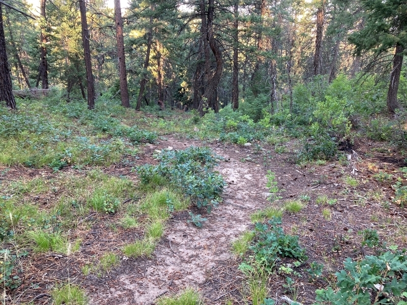
Brian’s Gaia map on his phone led us to a trail that was semi-hidden in the woods nearby and we followed it up close to the summit and bushwhacked up an overgrown hill about a hundred yards to the top.
it wasn't a heavily used trail but good enough to get us where we wanted to go
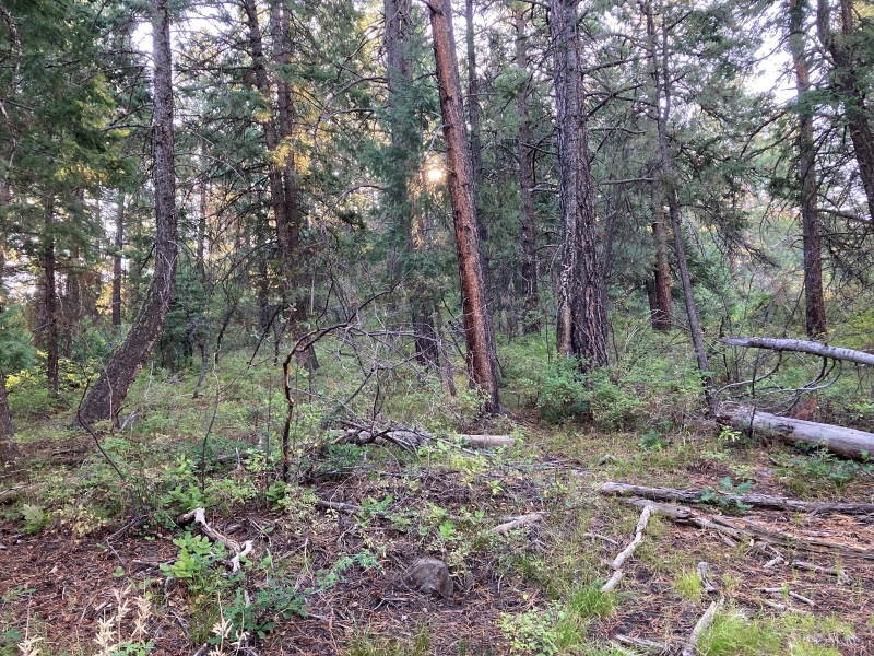
we left the trail here and bushwhacked a short distance to the top
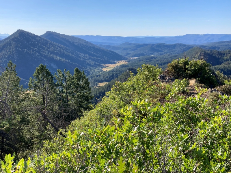
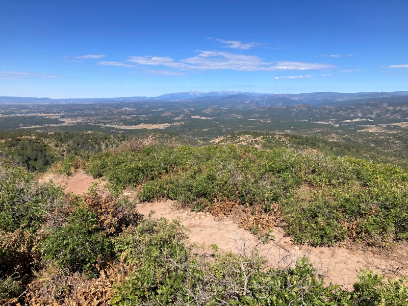
a view from the summit
It was only 830 in the morning as we hiked back down but quickly warming up on this clear sunny day.
Unnamed 8761: 1.7 miles, 500’ elevation gain, 1:10 roundtrip time
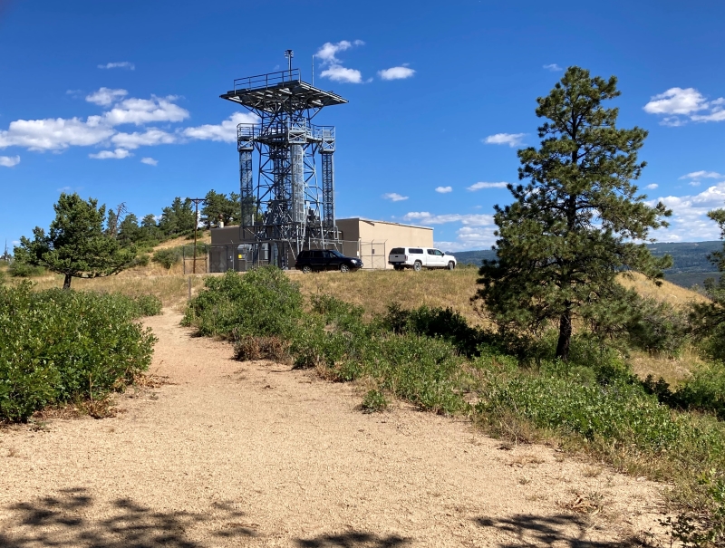
We drove back west from Yellowjacket Pass less than a quarter mile and turned left onto FR 743. We followed this excellent road a couple of miles as it climbed to a tower on a hill at the end of the road.
we parked here by the tower
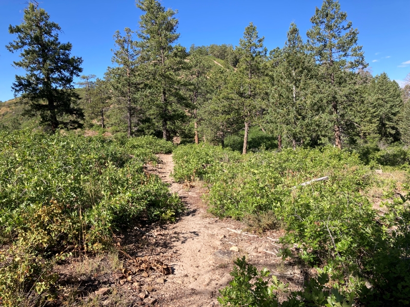
We followed a good trail to the south that took us right to the summit of UN 8761, with a couple of steep sections along the way.
on the trail, with a false summit ahead
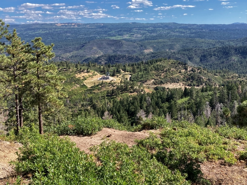
a view back down to the tower where we parked
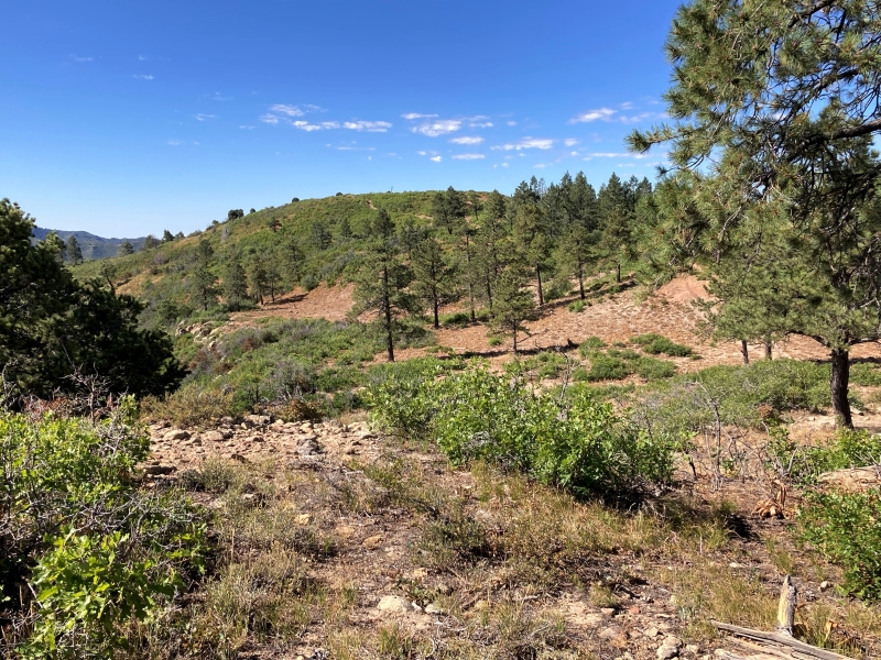
the summit is ahead in the center
The summit was covered with short scrub oaks with allowed for sweeping panoramic views in all directions.
a distant view of the la plata mountains to the west
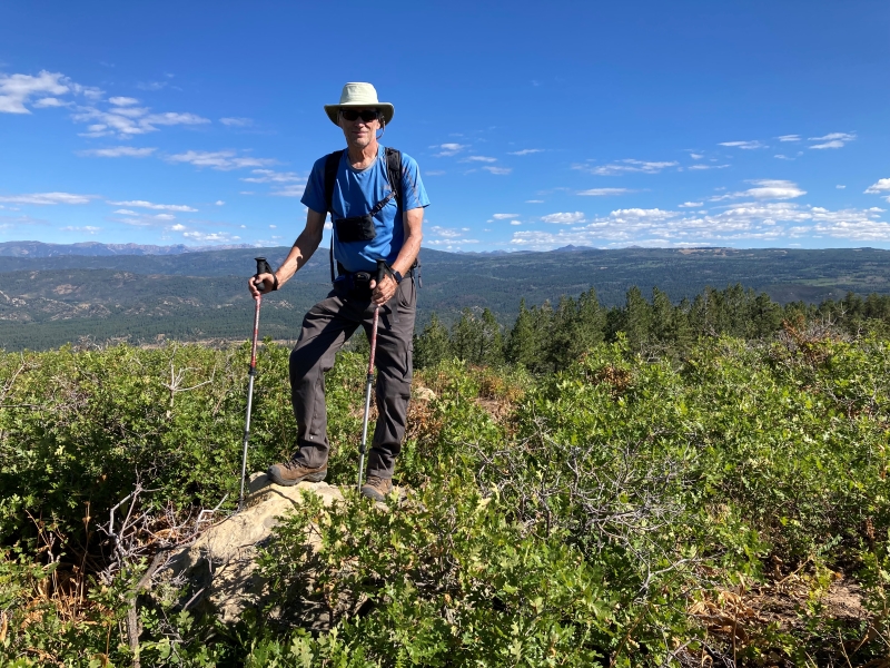
brian on the summit highpoint
After a few minutes on top we hiked back down and I headed for home.