UNNAMED 8753, BIG MESA (8750’), UNNAMED 8770,
UNNAMED 8750, UNNAMED 8890, UNNAMED 9460
August 30, 2021
By Tim Briese
Today Brian and I aimed for a bunch of low easy ranked peaks in the vast wide-open BLM ground south of Blue Mesa Reservoir off of Highway 149.
Unnamed 8753: 1.6 miles roundtrip, 600’ elevation gain, 1:15 time
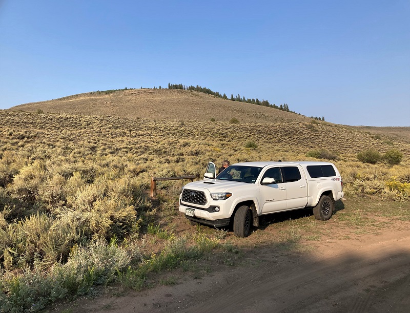
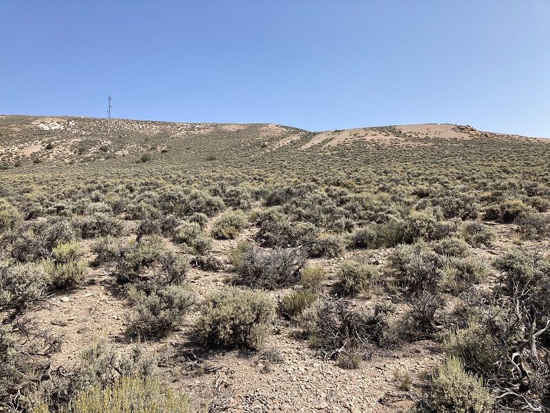
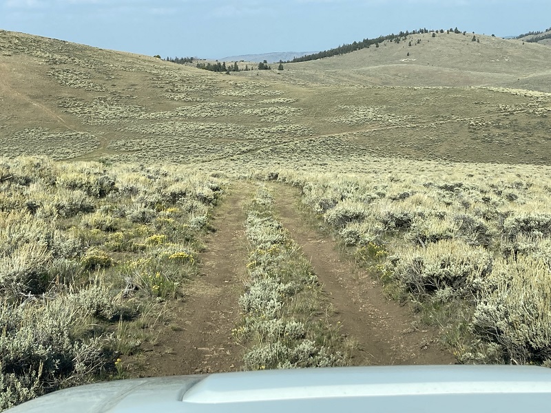
From Highway 149 we went south on CR 31 and then soon took a left on BLM 3054 and followed it a few miles and parked at a spot northeast of the peak. This road could easily be managed by a 2WD vehicle when it is dry.
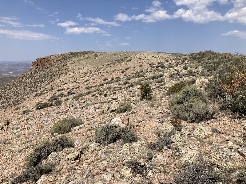
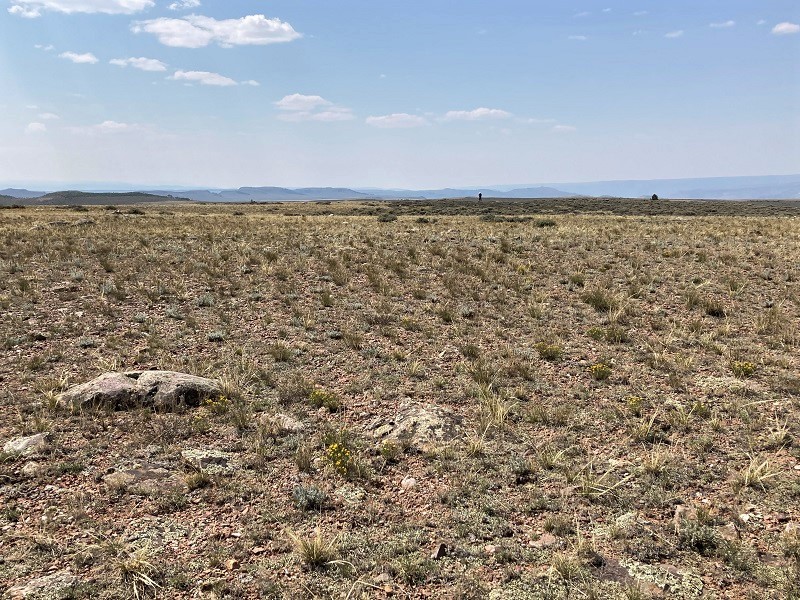
our parking spot for un 8753, which is at the top of the photo
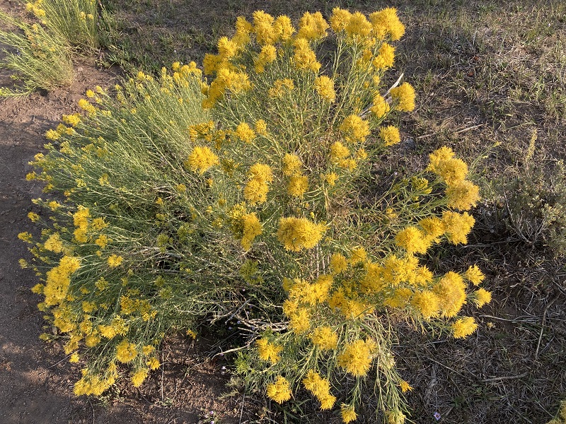
a colorful plant nearby
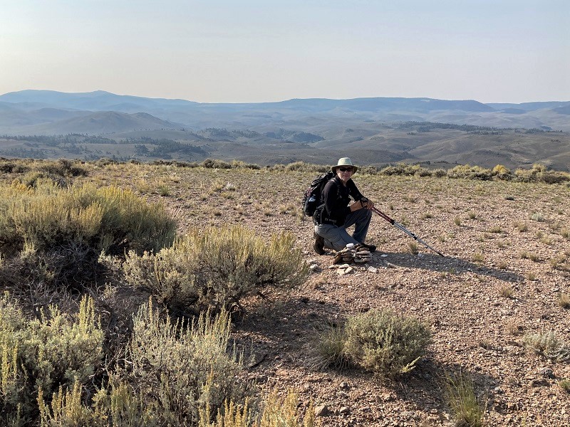
After an easy half hour bushwhack up a sagebrush covered slope we reached the broad flat summit, and found its highpoint marked with a register.
brian on the summit
Our next peak, Big Mesa, was visible across the drainage to the north and we previewed our route for that one.
view of big mesa from the slopes of un 8753
We made a quick descent to the truck and that was that.
Big Mesa: 2.1 miles roundtrip, 600’ elevation gain, 1:20 time
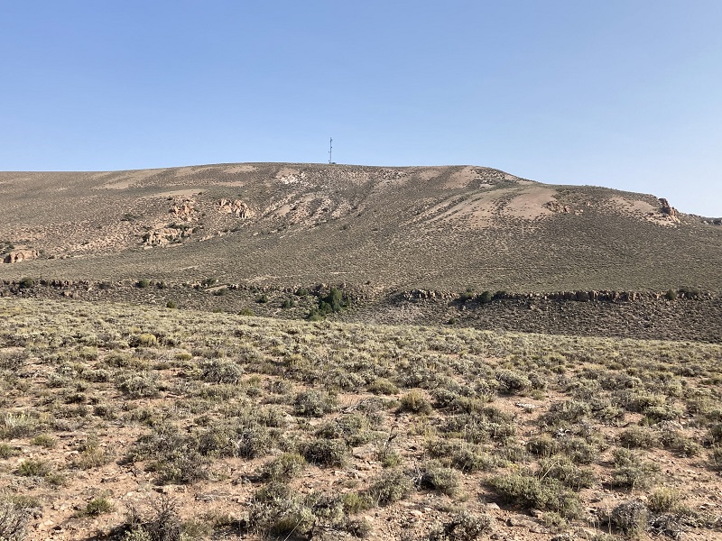
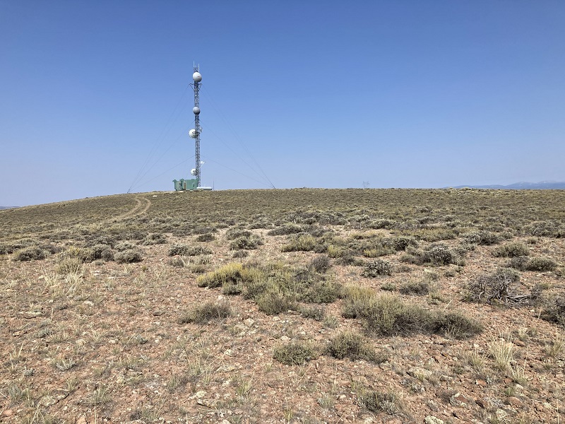
We drove back down BLM 3054 a short distance and parked where the much rougher BLM 3054G headed uphill to the east. We walked up 3054G a few hundred yards then struck off up the slope to the northeast and curved around to the vast summit plateau of Big Mesa and soon walked past a communication tower. We had hiked about a half mile to reach this point.
we went up the slope toward the right then went left past the tower
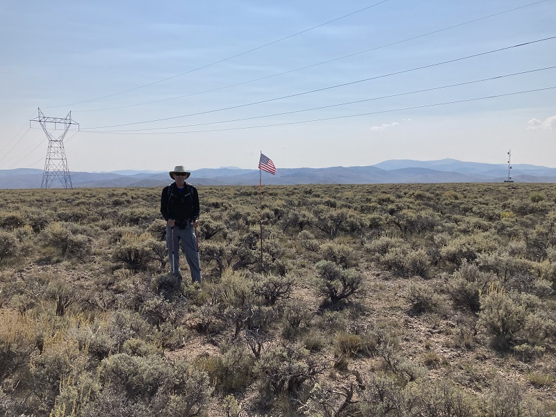
Armed with GPS’s in hand we began our search for the highpoint on the mesa and found that the mesa seemed to slope ever so slightly uphill to the north. After hiking through the sagebrush about a half mile on the mesa top we came to a flag, not far from a powerline, which appeared to mark the highpoint of the mesa, and which our GPS’s seemed to confirm.
brian at the apparent highpoint of big mesa
After a couple of minutes we turned back and retraced our steps back to the truck.
Unnamed 8770: 1.5 miles roundtrip, 300’ elevation gain, 1:05 time
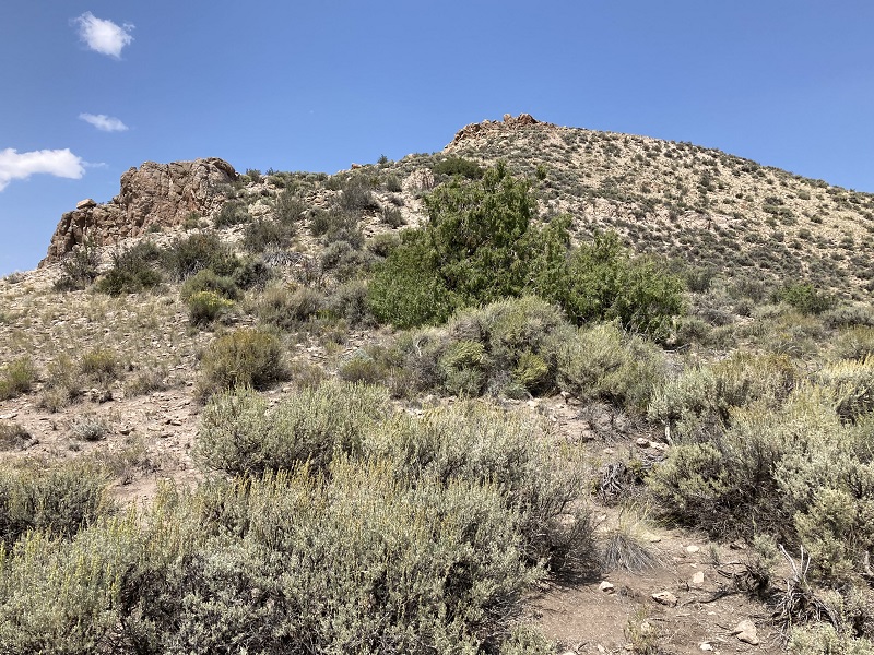
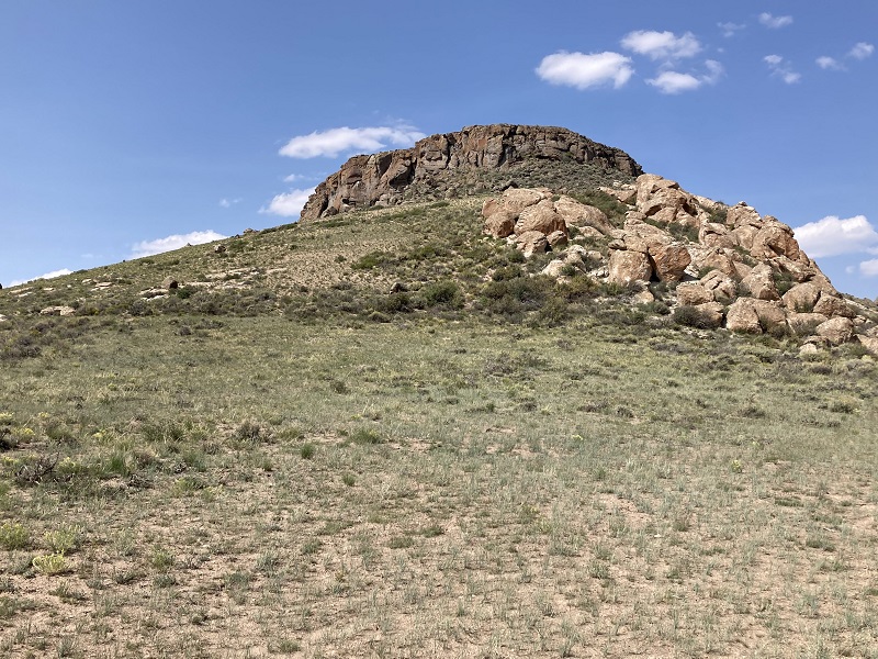
We returned to Highway 149 and headed south a few miles and turned left onto the BLM road variously known as the Powerline Road. It was a steep drive in spots but we reached the crest and parked by a big electrical tower. From there we made a short and steep climb on rocks and scree up to the mesa top, climbing about 300’ in 0.15 miles.
we went up this slope to reach the mesa top of un 8770
approaching the top of the mesa, but the highpoint was still a half mile away
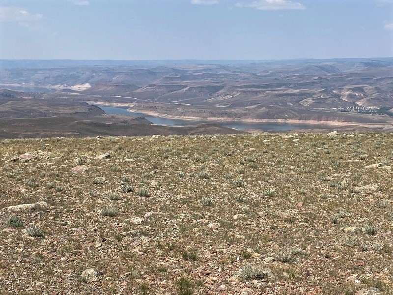
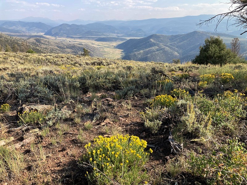
Then we hiked about a half mile north across the mesa until we found the apparent highpoint marked by some benchmarks. After admiring the view of Blue Mesa Reservoir below for a moment we headed back.
view of blue mesa reservoir from un 8770
Unnamed 8750: 0.8 miles roundtrip, 200’ elevation gain, 0:30 time
We drove south from our parking spot near 8770 on another BLM road across a saddle and parked just below the summit of 8750. An ATV track appeared to continue right on up to the summit but I wasn’t inclined to drive it with my truck. We strolled up to the highpoint in 15 minutes and then returned.
we took this road over to un 8750
getting ready to head up to the summit
view from the highpoint; brian is in the distance making sure it isn't higher over there
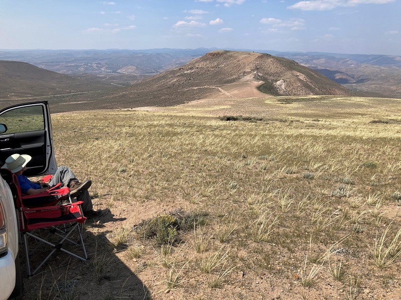
We had started climbing this morning about 830 and it was now a little after 2, and we deemed it time to take a break and relax for a few minutes before moving on to our next peaks, so we sat in the shade of the truck on camp chairs with cold Cokes in hand. Today was what senior citizen climbing should be all about – doing a bunch of short easy peaks with a good friend, and stopping for a moment to enjoy along the way. I don’t need to hike 15 hours and climb 6000 feet in a day like I used to in order to have a good time in the mountains. Those days are gone. The seasons of life they call it. I was having a great time today!
relaxing for a while, with a nice view of un 8770 beyond
Unnamed 8890: 0.9 miles roundtrip, 300’ elevation gain, 0:45 time
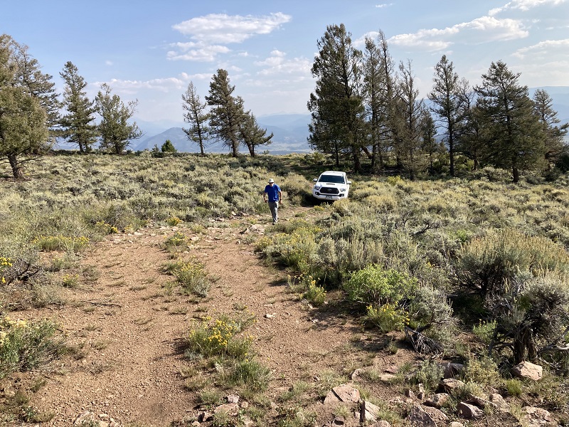
We continued south on Highway 149 and turned east onto BLM 31A, and drove a short distance and parked south of the cliffy ramparts of 8890. This one looked slightly more menacing than the other peaks today but we simply contoured across the brushy slopes west of the peak until we found a nice point to access the summit plateau and circled back south to the highpoint.
looking up at un 8890 from near our parking area
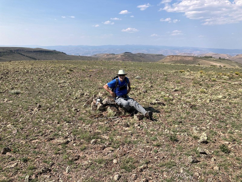
brian on the highpoint of un 8890
Upon returning to the truck Brian discovered that he had left his GPS on top so he hustled back up and retrieved it.
Unnamed 9460: 0.3 miles, 50’ elevation gain, 0:10 time
A few more miles south on Highway 149 we turned west onto BLM 3003 and followed a series of lightly used roads that were drivable virtually all the way to the summit.
good roads but not used much
We parked a short distance from the top and wandered around in the sagebrush a few minutes until we found what we deemed to be the highpoint.
walking up to pinpoint the summit
a nice view nearby
That concluded a fun day of mild adventure and multiple peaks climbed.