UNNAMED 13460
June 24, 2016
By Tim Briese
9.2 miles, 3100’ elevation gain, 5:45 roundtrip time
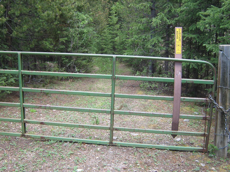
I headed to the mountains with my lab Abby at 450 am on this June morning. I turned off of Highway 82 onto the South Fork Lake Creek Road and followed this high clearance 2WD road a few miles before turning left at a signed junction toward Sayres Gulch. After 0.1 miles I parked at the trailhead at the end of the road. I planned to hike up the same route that Brian and I took on our climb of Sayres Benchmark in 2009. At 805 I left the trailhead and immediately walked over a nice bridge over the thundering waters of South Fork Lake Creek. After following the trail on the other side for 125 yards I turned left onto the Sayres Gulch 4WD road. After going 100 yards on this road I spotted the faint old mining road to the left that Brian and I had initially missed on our 2009 climb. I followed this fainter road a short distance to a green gate that blocked the road and climbed over it and continued.
the gate across the road
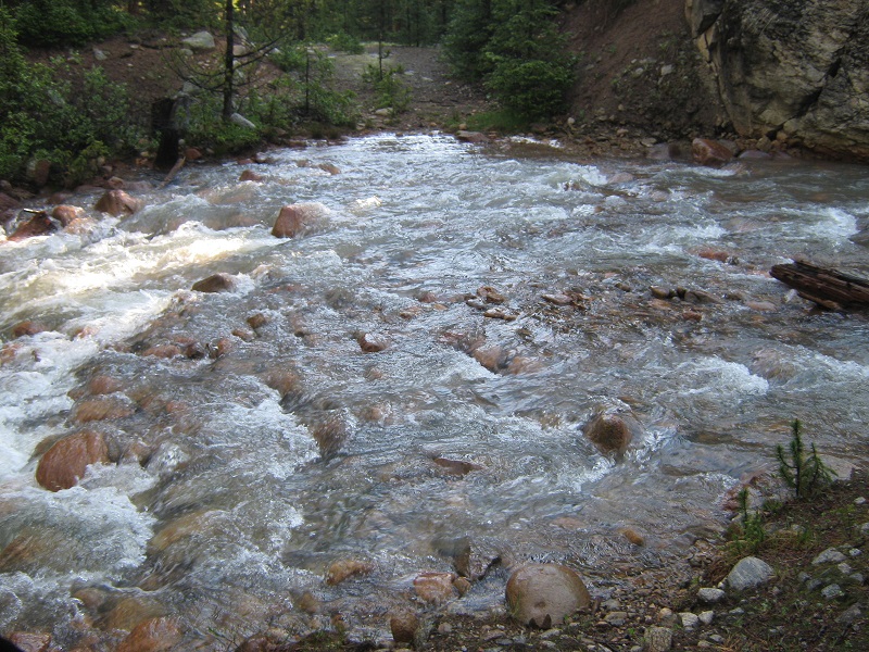
After a short distance I came to Sayres Creek, which was roaring with water, and carefully proceeded to ford it.
sayres creek
I continued on the amazing old mining road almost five miles all the way up to 13,300 feet, using my map to take the correct fork at a junction or two. The road has obviously not been used by vehicles in quite a while as it is getting rather overgrown, but it remains a great path to the heights above.
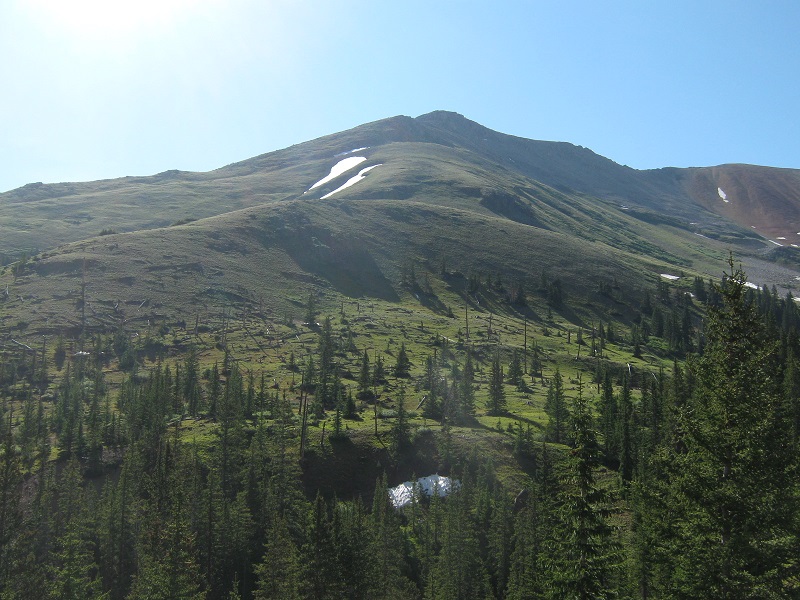
the road is in the foreground at the lower right, and unnamed 13460 is at the upper left
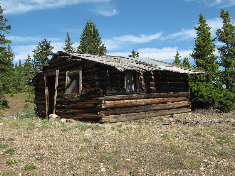
an old cabin near timberline
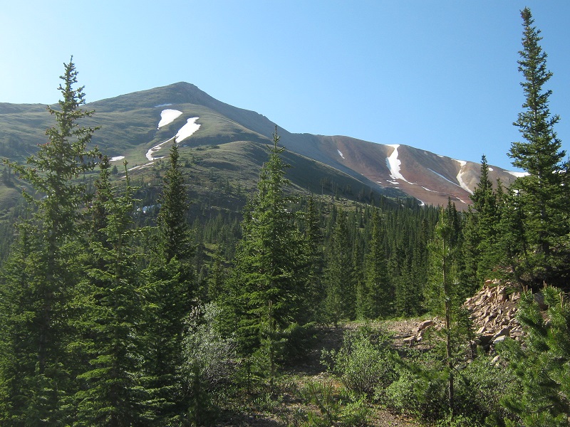
I noted that it would have been very reasonable to leave the road at about 12,000 feet and bushwhack directly up the steep grassy northwest slopes of UN 13460, saving quite a bit of mileage, but I opted to stay on the nice road and gradually switchback my way upward instead.
the northwest slopes of unnamed 13460. the road circles around far to the right off of the photo
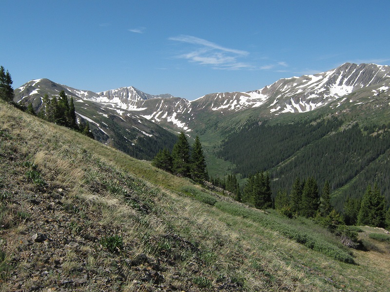
sayres gulch below to the west as i climbed higher
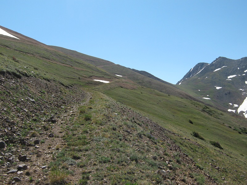
the old road climbed higher and higher
At 13,300 feet the road finally ended and I headed north up the slope a short distance to Point 13430, finding it necessary to kick-step my way up a short steep snow slope to get there.
the slope up to point 13430
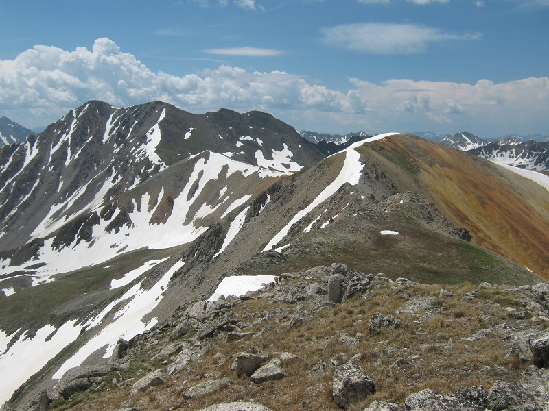
From there I hiked 0.4 miles north along a somewhat rugged ridge to UN 13460, dropping to the left side of the ridge in the roughest spots.
the ridge to unnamed 13460

I stepped on top at 1125.
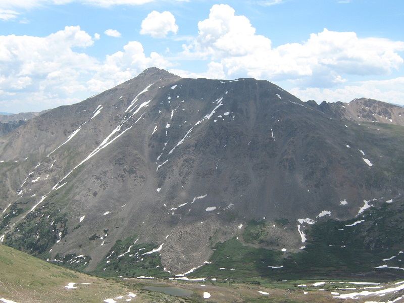
looking back south from the summit at point 13430 at the right, and sayres benchmark at the left
la plata peak across the valley to the east
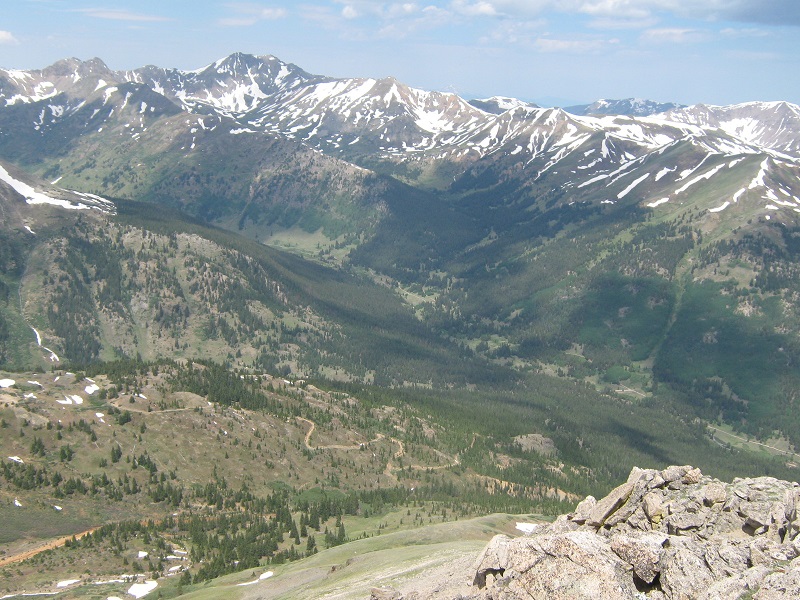
grizzly peak, at left center, and the old mining road below that i hiked up
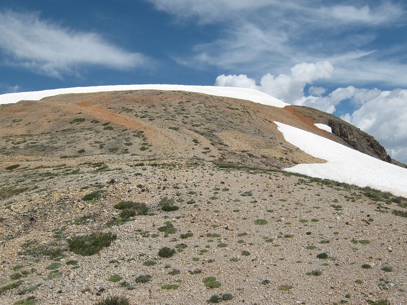
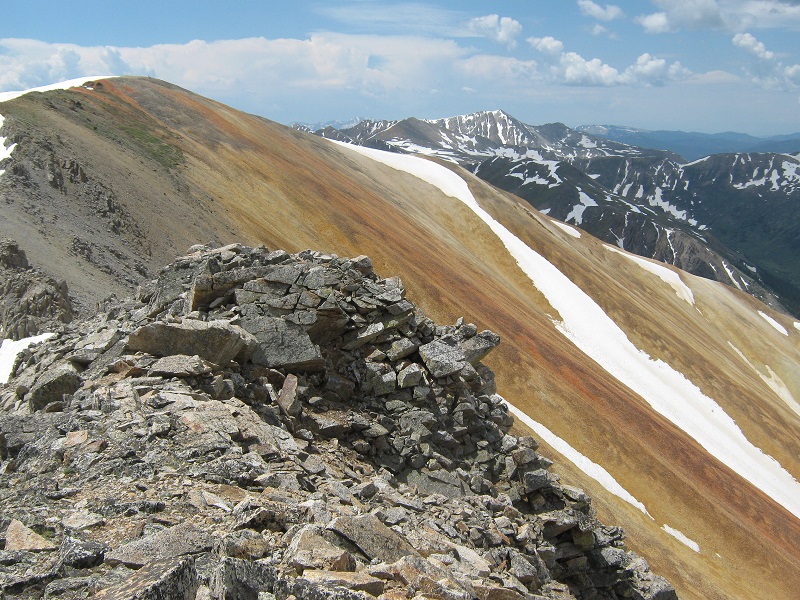
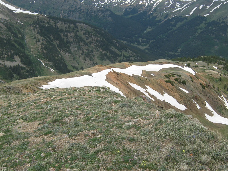
the colorful copper-colored slope on the northwest side of point 13430
Ominous clouds were rapidly building so I cut my stay short and left after only ten minutes. I hurried back across the ridge to Point 13430 and decided to forget about the road with all its switchbacks to save time and just cut down the slope to the northwest, at first on scree and then on grass, on the point’s northwest ridge.
going down the northwest ridge from Point 13430
This worked out very well and I rejoined the road at 12,000 feet about an hour after leaving the summit, cutting about a mile off the ascent distance. I cruised on down the road in a light rain shower and arrived back at the trailhead at 150, as thunderstorms continued to build all around. It was a great climb, but a little rushed by the weather.