WILDHORSE PEAK
(13,266’)August 14, 2019
By Tim Briese
6.3 miles, 1400’ elevation gain, 5:50 roundtrip time
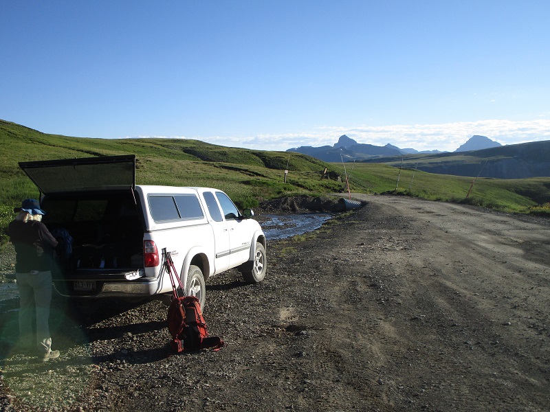
My wife Teresa and I left Lake City about 630 am and drove up the Engineer Pass Road, passing several areas where downed trees had been cleared from the road, from massive avalanches during the previous epic winter. We parked near mile marker 17, about two miles before the summit of the pass, where a sign indicated the Horsethief Trail. The elevation here was about 12,400’. We found the road to be in good condition, probably passable in a 2WD vehicle except for the last mile or so where it became a little rougher.
we parked here along the engineer pass road to start the hike. wetterhorn and uncompahgre peaks loom on the horizon.
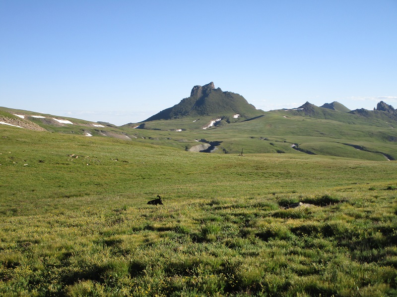
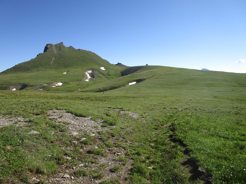
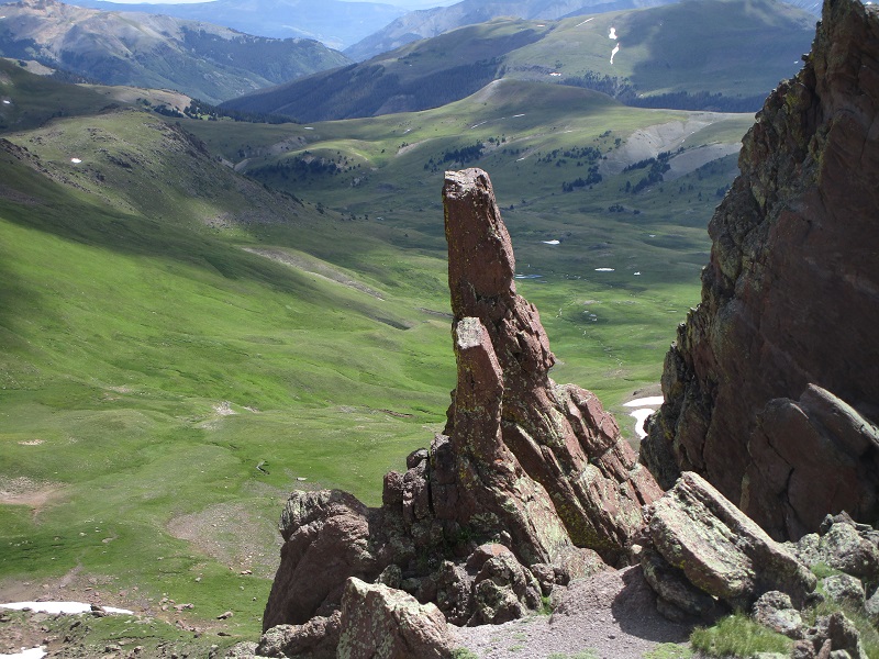
At 750 we headed north across the gentle open tundra of American Flats. We followed a faint trail at first but soon lost it in the grass. After ascending a gentle rise the dramatic profile of Wildhorse Peak came into view about two and a half miles away.
wildhorse peak
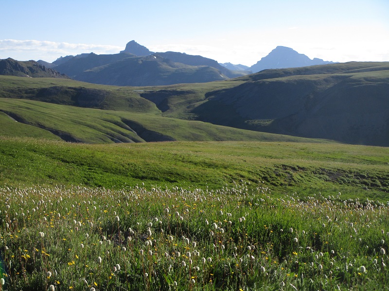
Wetterhorn and Uncompahgre Peaks magnificently punctuated the skyline to the northeast. This hike was a charming tundra stroll in the golden early morning sunlight. There were small wildflowers seemingly everywhere.
wetterhorn and uncompahgre peaks
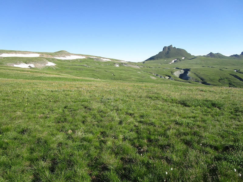
We regained the trail and followed it around the west side of a minor basin to avoid elevation loss and soon arrived at a slight saddle at 12,300’ south of the peak.
we followed a trail around to the left, just below most of the banks of snow
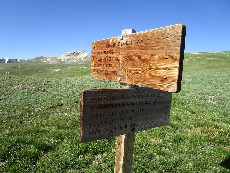
A sign at the saddle marked the junction of faint trails that headed off across the tundra. From this point we hiked northeast up a gentle grassy slope to gain the peak’s rounded southeast ridge.
we hiked up the grassy slope toward the right to the peak's southeast ridge
this seemed like a lot of signage for trails that you could hardly see
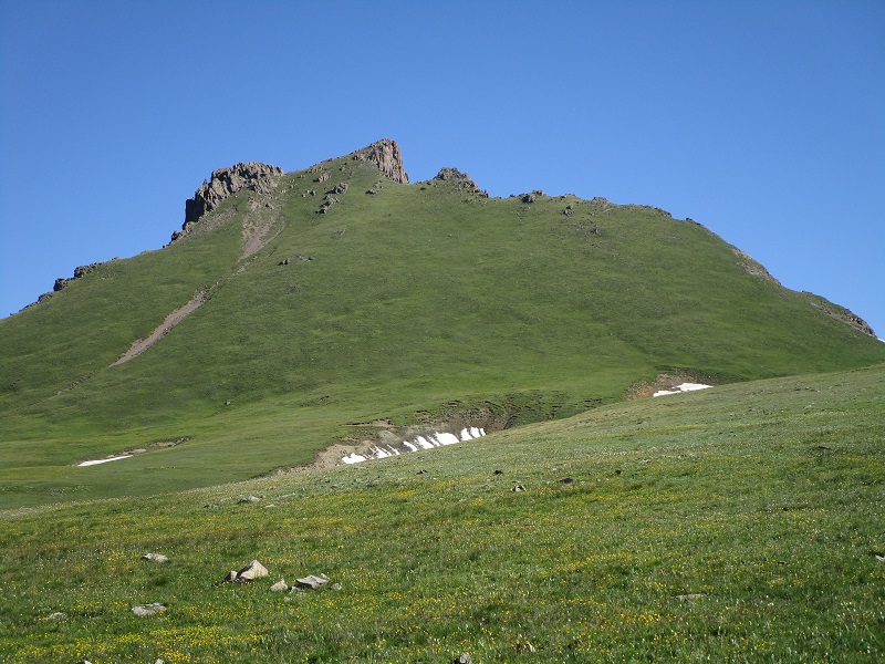
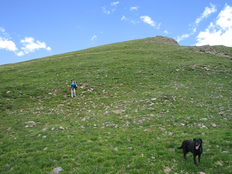
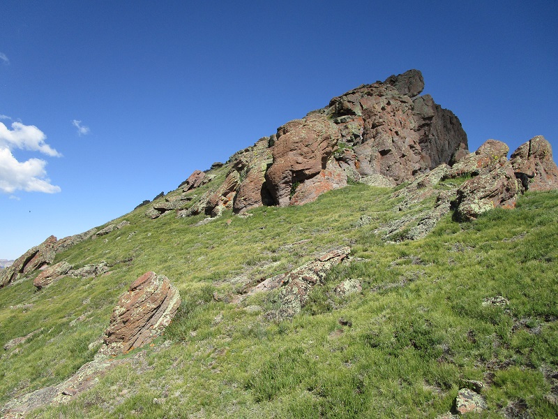
Once on the southeast ridge we turned northwest and at 12,600’ began angling up the peak’s steep southern grassy slope.
the nice grassy southern slope of wildhorse
the slope we went up (photo taken on the descent)
We ran the steep grass almost all the way to the top, encountering some dirt and rocks only in the last few feet.
a view to the east from the edge of the grassy slope
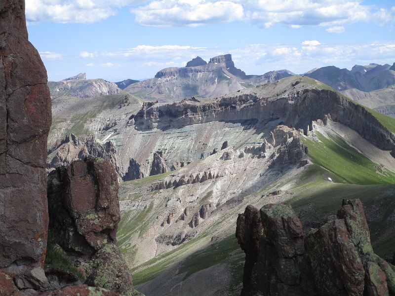
redcliff and coxcomb peak are on the horizon
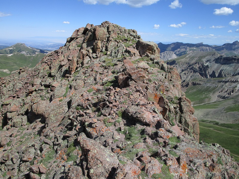
getting closer to the top
approaching the summit
At 1030 we stepped on top of this incredible peak. The surrounding views were magnificent. This is a wonderfully fun peak to climb, with its easy tundra approach and grassy slope, not to mention its unique profile jutting out of the surrounding tundra flats, as well as the spectacular views.
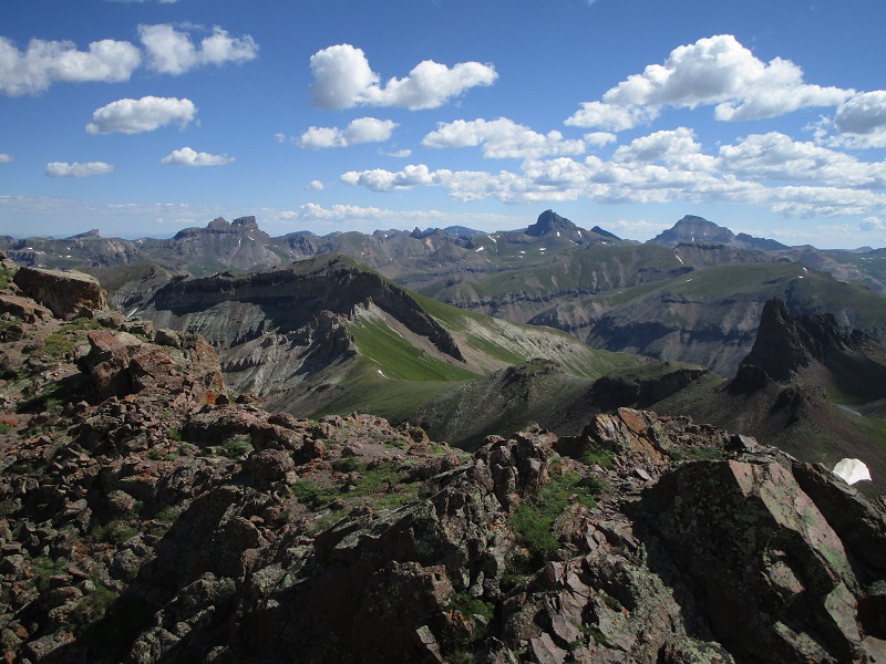
from left to right: redcliff, coxcomb, wetterhorn, and uncompahgre peaks
a closer view of wetterhorn and uncompahgre, with dragon's back below at the far right
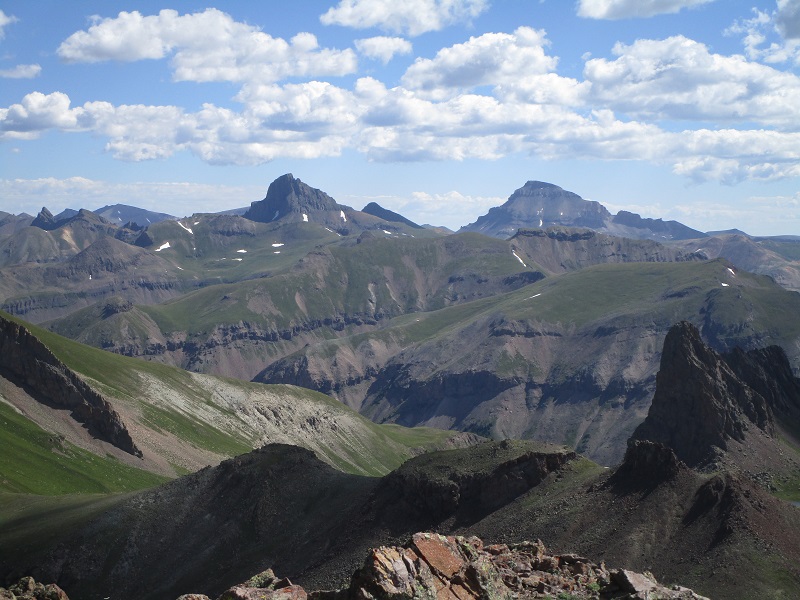
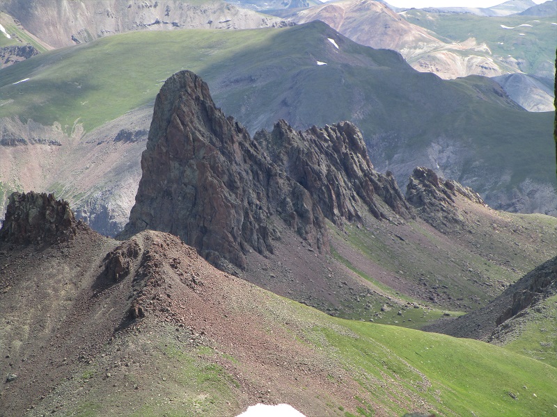
dragon's back (12,968')
teresa enjoying the view
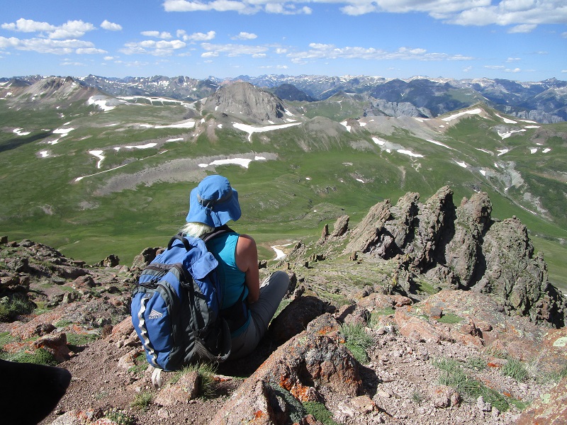
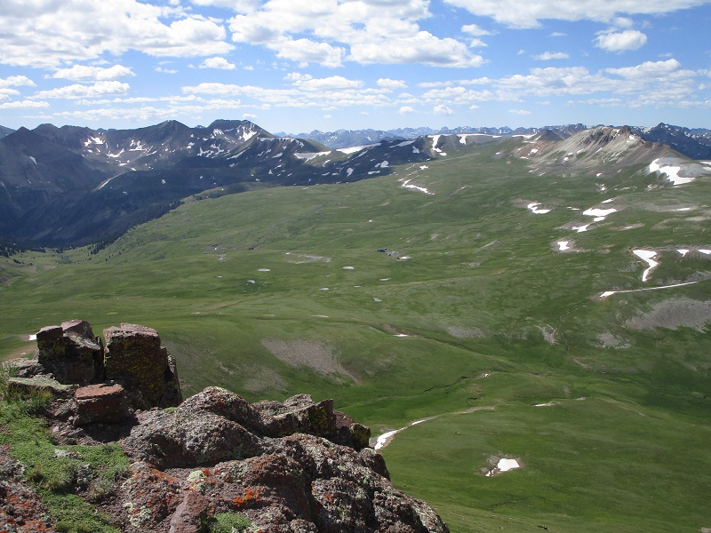
looking south across american flats that we hiked across
We headed back down at about 11 am and retraced our steps back across American Flats to our waiting truck. There were numerous ATV’s and jeeps now roaring up and down the popular Engineer Pass Road. One young adventurer stopped and asked us for directions and we obliged as best we could, before climbing into our truck and heading back down to Lake City.