UNNAMED 8868
UNNAMED 8660
LITTLE WOLFORD MOUNTAIN (8807’)
WOLFORD MOUNTAIN (9182’)
July 24, 2023
By Tim Briese
Unnamed 8868: 0.9 miles, 500’ elevation gain, 1:05 roundtrip time
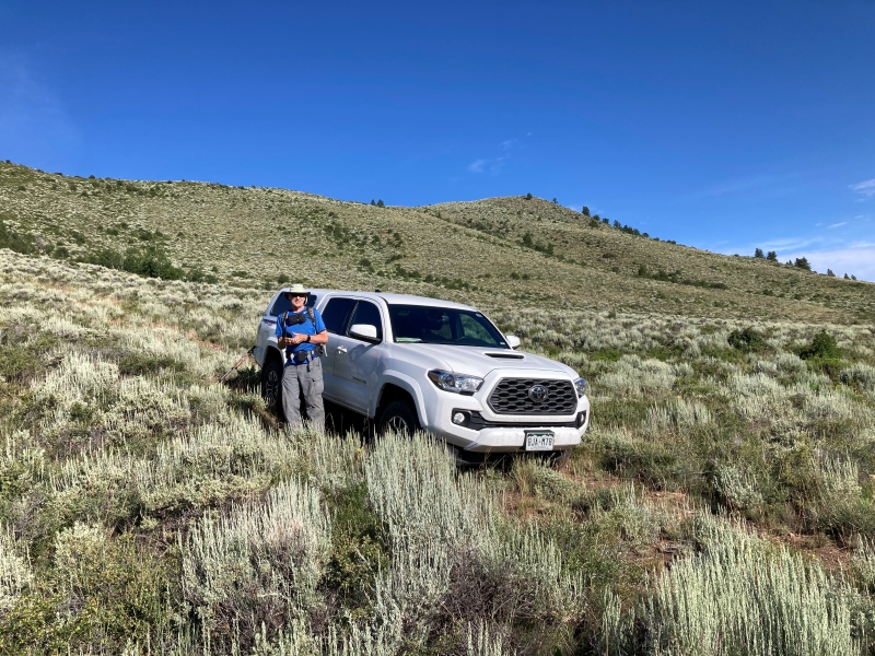
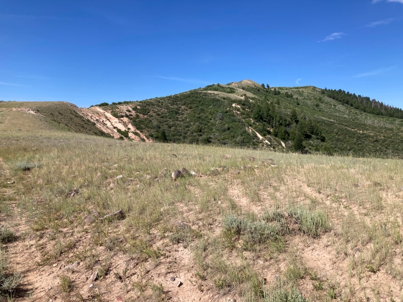
Brian and I left Kremmling on a beautiful sunny morning and headed north on US 40 and then east on the Antelope Pass Road. The area north of Kremmling is largely BLM land replete with a network of 4WD roads or tracks that are popular with ATV and 4WD enthusiasts. Brian guided us with his GPS to a track that we followed to a spot below the southeast slope of UN 8868.
we parked here and headed up to 8868, at the right
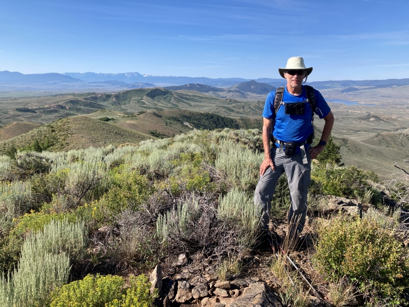
We bushwhacked up the sagebrush covered slope and arrived on the summit in short order, where we were treated to expansive views.
brian on the summit
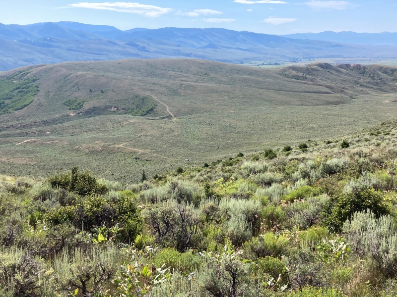
the truck is visible far below, a little below the center of the photo
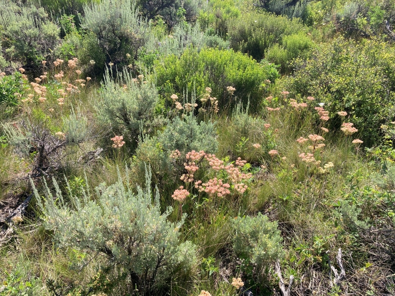
lush vegetation in this desert-like environment was thriving after our abundant spring rains
Unnamed 8660: 1.3 miles, 400’ elevation gain, 1:00 roundtrip time
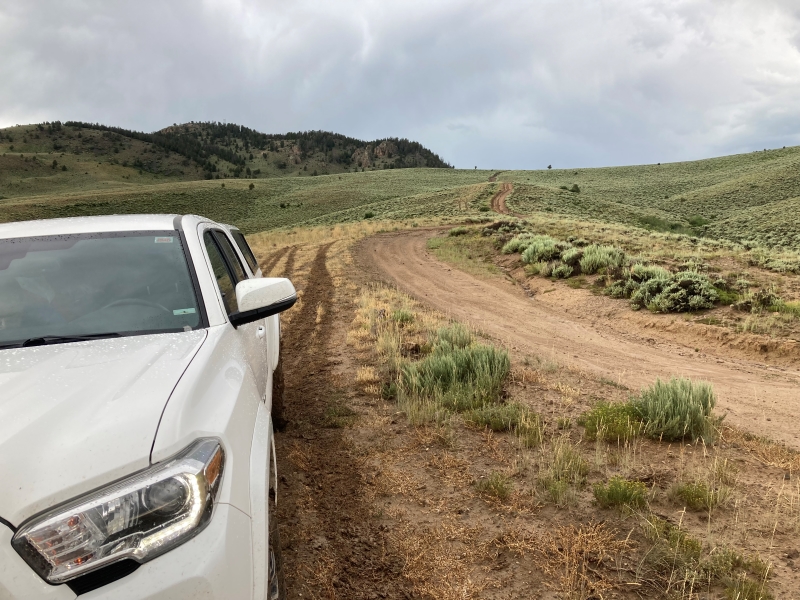
We continued south on more 4WD roads to the east side of UN 8660, carefully negotiating a couple of steep washed out sections with my truck. Thank goodness the road was dry.
un 8660 is at the upper right
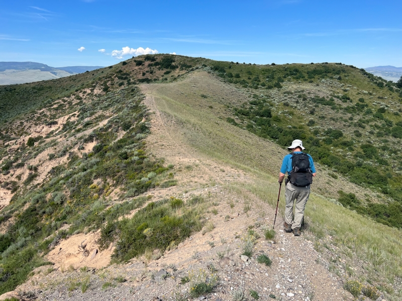
We found a convenient trail that took us up to the summit of the peak, over a modest false summit. Again, there were nice views from the top.
on the trail to the summit, photo by brian schultz
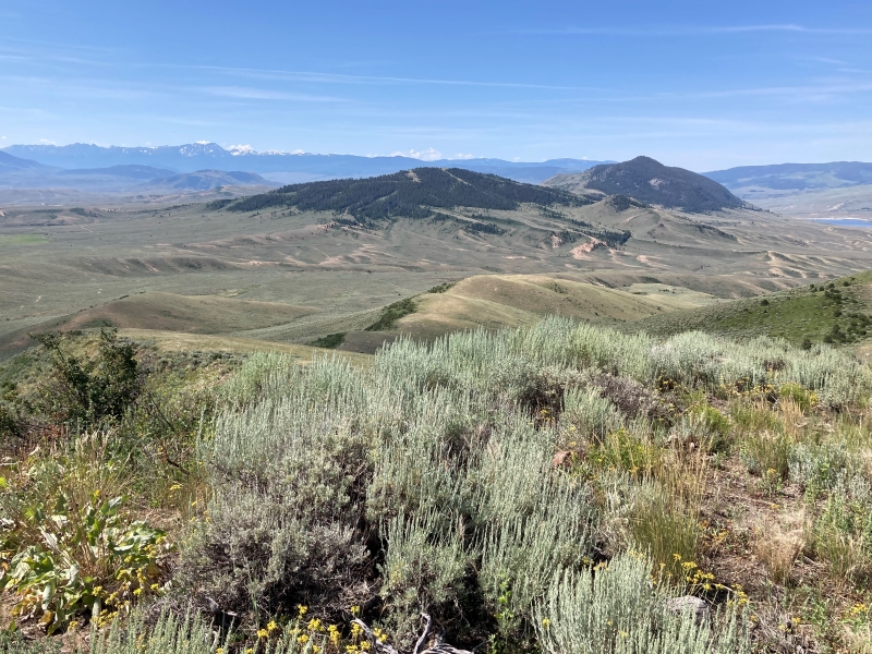
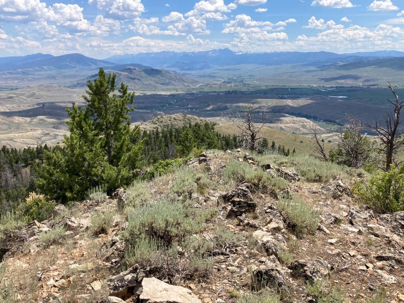
a view from the summit of our next peaks, little wolford in the center, and wolford to the right
Little Wolford Mountain: 0.8 miles, 300’ elevation gain, 0:40 roundtrip time
We continued south and found that the road going up the south slope of Little Wolford that we intended to use was closed but we found another one to the southeast of the peak that took us higher and closer to the peak than we expected. We followed an apparent livestock trail west up along a fence and then made a short hike north to the broad summit.
brian on little wolford, with the summit of wolford visible beyond

Wolford Mountain: 1.9 miles, 700’ elevation gain, 1:40 roundtrip time
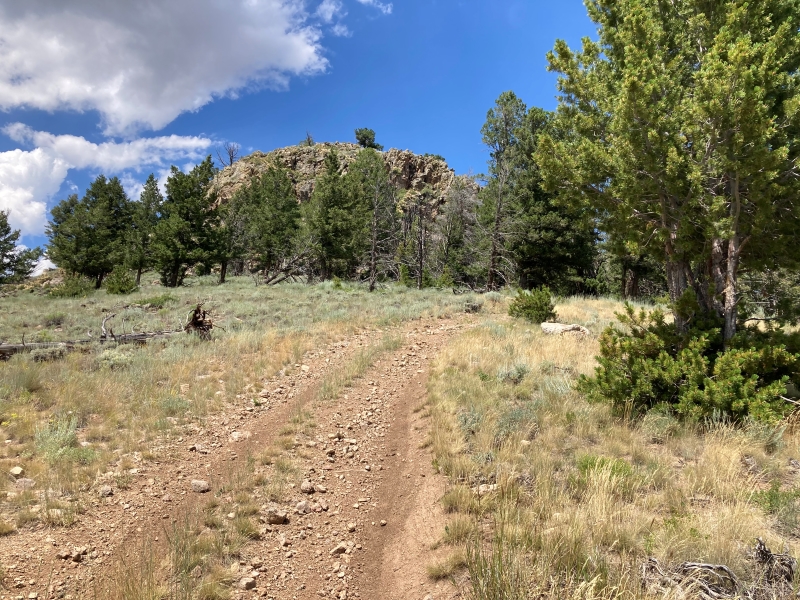
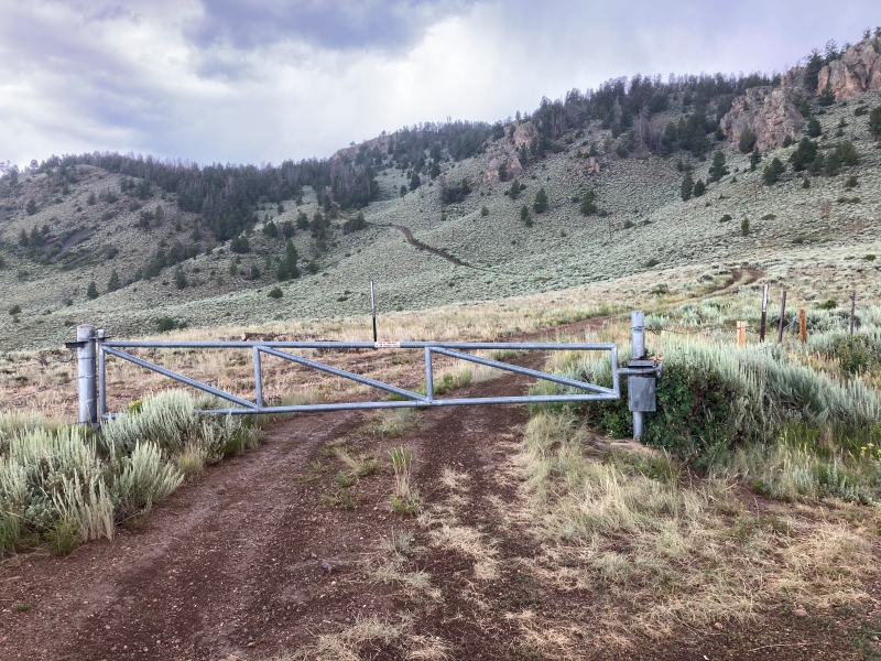
We followed more 4WD roads south a short distance toward Wolford Mountain, our highest summit of the day. We approached on a steep road and found a locked gate preventing vehicle access up a very steep and narrow 4WD road that goes up to a communication tower on the summit. We parked near the gate and hiked up the steep road.
the road we hiked up to wolford

approaching the summit
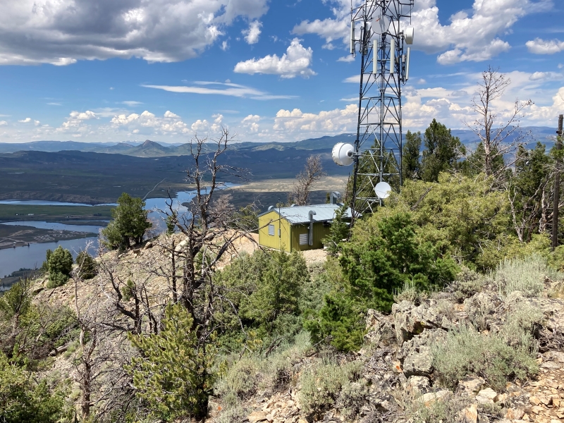
There were commanding views from the top of Kremmling below to the south and Wolford Mountain Reservoir to the west. The location appeared to be a great choice for the tower.
view of kremmling from the summit, at top center, with the gore range beyond
the summit tower, and wolford mountain reservoir to the left
Clouds were quickly starting to build so we started to hike back down and soon were caught in a rainstorm.
looking back at the gated road that we scurried down in the rain
It was pouring when we reached the truck and jumped in. Rain continued to pour down as we began driving down the steep road. We were unpleasantly surprised to find that the clay surface of the road became very slippery when wet and we were in real danger of sliding off the road. Some ATV’s came up behind us facing the same issue so they drove off to the side of the road through the sagebrush and we followed suit.
looking back up at the muddy and slippery road
It was a short-lived relief when we got to the bottom of the steep hill but we still had a very nerve-wracking drive for several miles on slippery clay roads. It was a great relief to finally get back on pavement and we soothed our nerves with some ice cream back in Kremmling and called it a day.