"PEAK X"
(12,427’)"PEAK Y"
(12,274’)"PEAK Z"
(12,244’)"ZEPHYR"
(12,067’)June 9, 2017
By Tim Briese
11.0 miles, 3700’ elevation gain, 9:00 roundtrip time
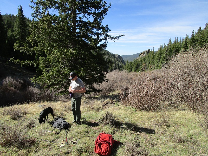
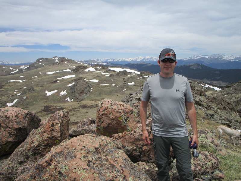
My son-in-law Rod and I left his house about 5 am and made the 2 and a half hour drive to the Long Gulch Trailhead, via the Tarryall Road from the south, then the Rock Creek Hills cutoff road, and the Lost Park Road. The trailhead was basically unmarked and a sign there was unclear so we asked some campers nearby if this was really the Long Gulch Trailhead and they confirmed that it was. We left the 10,080’ trailhead at 740 am with our two dogs and proceeded to follow the Roachs' excellent directions in their book, Colorado’s Lost Creek Wilderness. We hiked 0.2 miles northeast along the south side of a creek on a spur trail until we reached the Colorado Trail. We did not take the Colorado Trail but crossed it and continued east along the south side of the creek on the more faint and unmarked Hooper Trail. After going about 0.7 miles on this trail to 10,700 feet we left it and took an even more faint trail to the left that continued along the creek all the way up to timberline at about 11,600 feet.
taking a break on our way up the drainage
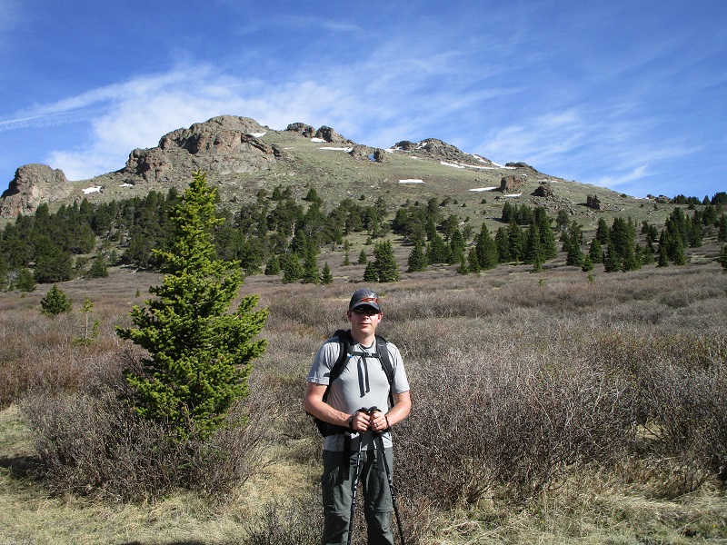
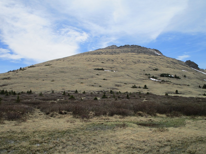
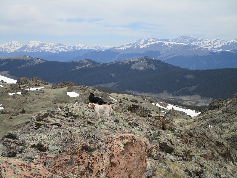
The drainage we were following leads to the saddle between Peak X and Peak Y. When we broke clear of the trees we could see Peak X to the north and Y to the east.
near timberline, with peak x beyond
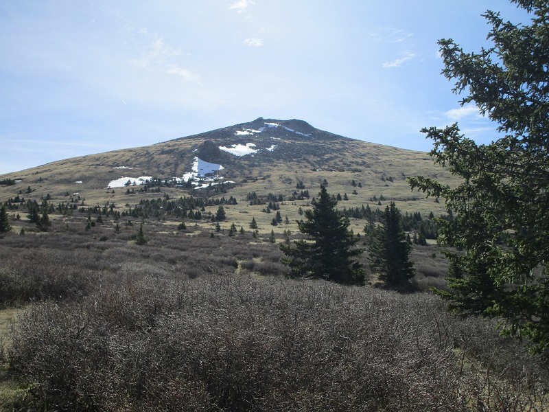
view of peak y from the same spot
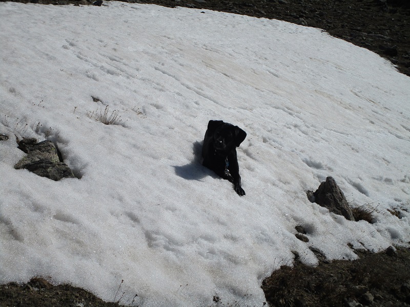
We bushwhacked up to the summit of Peak X, avoiding a sea of willows, patches of snow, and rocky outcroppings as best we could.
abby taking a break on the climb up to peak x
one of the many rock outcroppings on the spacious summit plateau
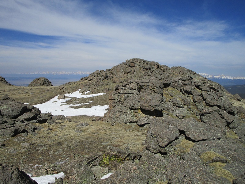
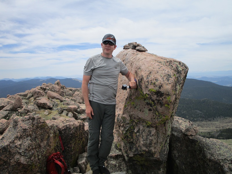
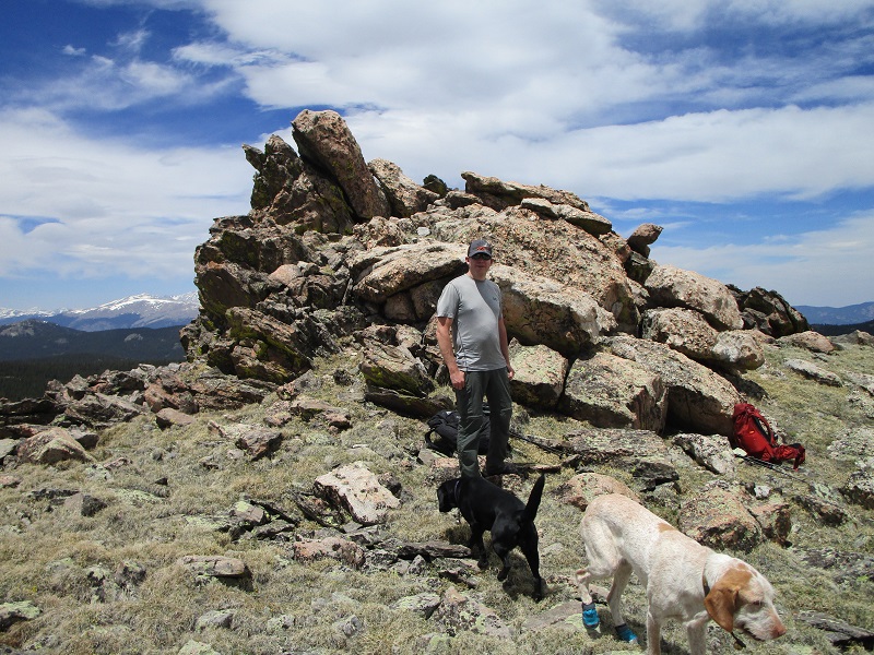
The summit plateau was a rocky wonderland. At first we thought that the rocky outcrop on the north end of the summit plateau was the highest point, but after checking it out we determined that the second outcropping from the north is actually the highest point, complete with a summit register and great views. We arrived on top at 10 am and enjoyed the summit for half an hour. It was a nice pleasant day for early June with a moderate wind.
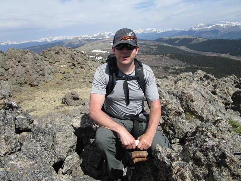
rod on the summit of peak x
view to the northwest
view to the southeast of peak y, at the right
We left the summit and hiked down to the saddle between X and Y and climbed 500 feet up an easy grassy slope to the summit of Peak Y.
the slopes up to peak y
We arrived on Peak Y at 1130. We rested behind some rocks out of the wind for 15 minutes before continuing on to Peak Z.
looking back at peak x from peak y
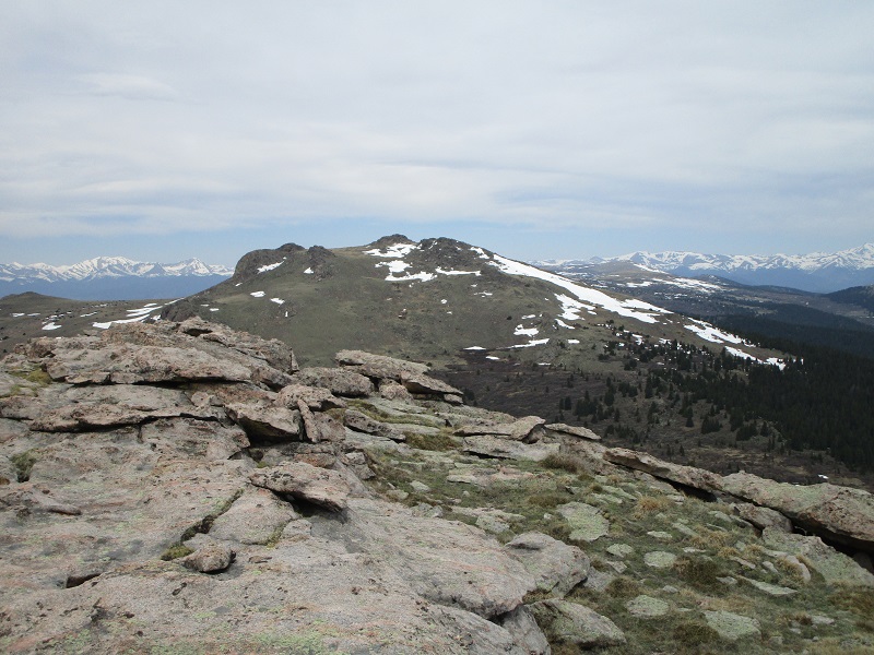
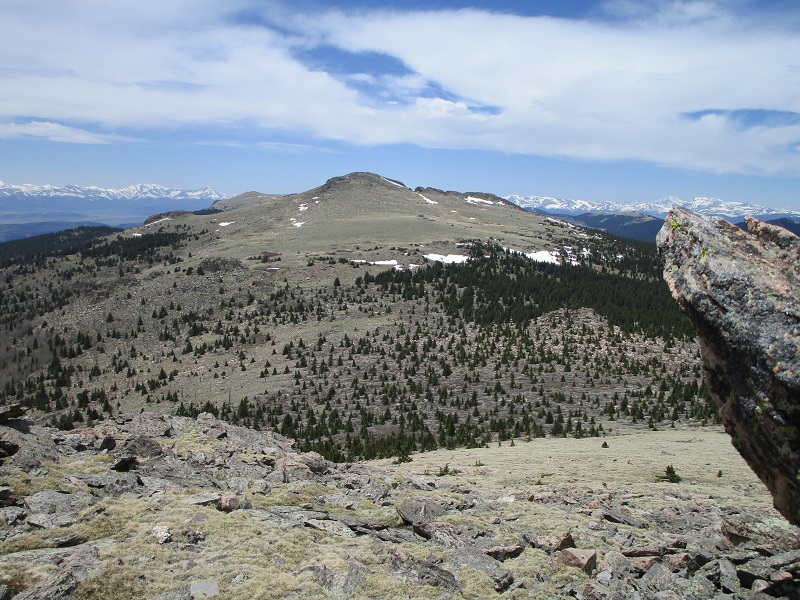
looking ahead to peak z
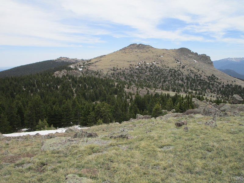
The route to Z looked a little more rocky and daunting, but we managed to pick a reasonable route to it.
approaching peak z
We hiked down to the saddle and then ascended about 300 feet past a field of snow in a gap and did an ascending traverse toward Z mostly on grass, circling around to the west side of the summit block for easiest access to the top, avoiding steep rocks on the northeast side of the summit. We arrived here about 1230 and stayed again for about 15 minutes. The highest point on the summit was a big block which I reached up and touched, forgoing a class 3 scramble to actually crawl up there.
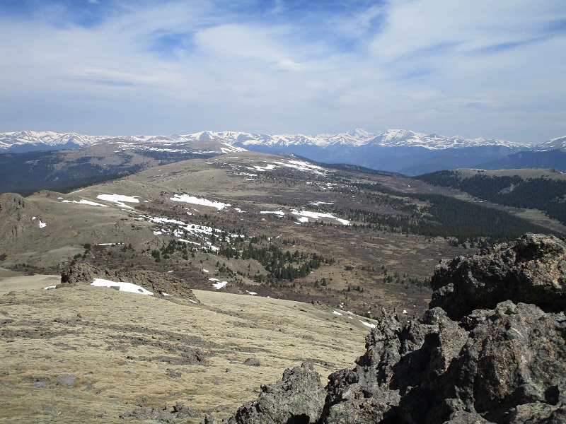
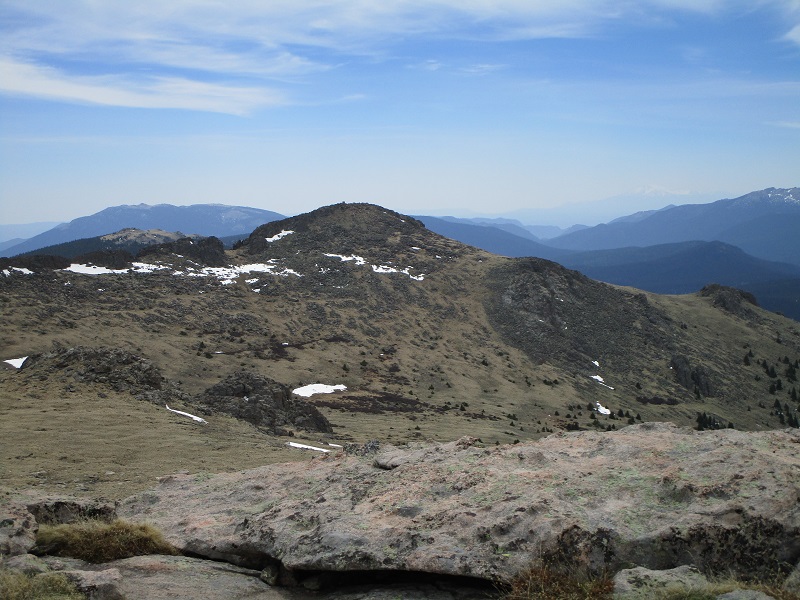
looking back at y and x from the summit of z
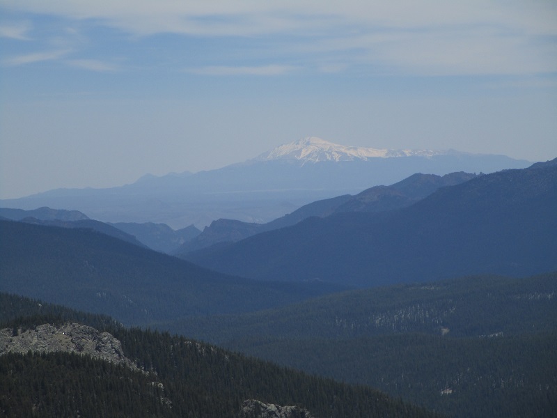
a view of mt. evans and mt. bierstadt, at the right
the summit block on peak z
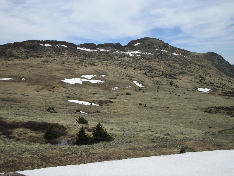
From Peak Z we continued south toward Zephyr.
zephyr
The saddle between these peaks was a little lower and had a few trees that we had to work our way through, then we continued up the slope on the other side to Zephyr.
the slope up to zephyr

It wasn’t clear at first where the highest point was on Zephyr. I thought it looked like it was a large rugged block 30 feet high to the south but after circling all the way around it and finding no reasonable route to its top I decided that the highest point was actually on a rocky outcropping to the north that was much easier to ascend. I climbed to its top and confirmed that it was higher by just a couple of feet by sighting across the big block to the south to a distant 11er.
the summit block on zephyr
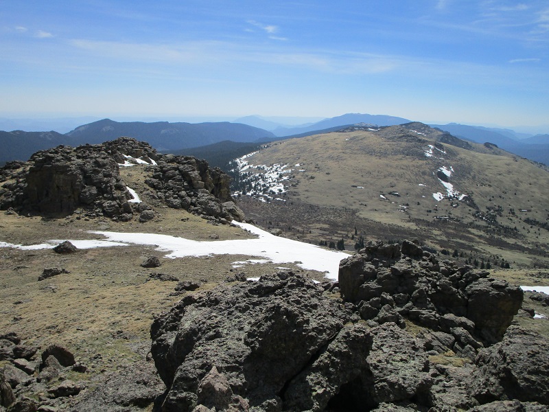
looking back at peak z
pikes peak from the summit of zephyr
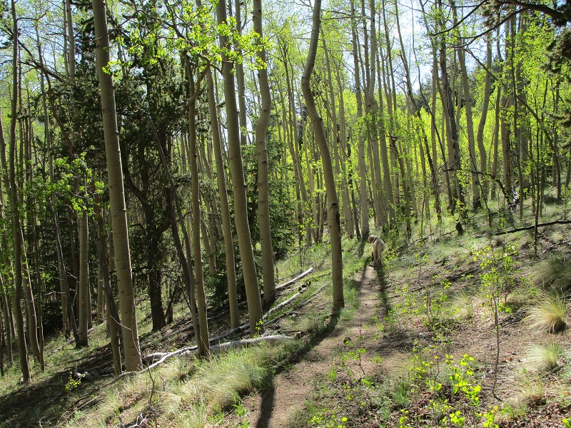
After a short break we thought about descending the ridge to the southeast to pick up the Brookside-McCurdy Trail and take it down to the Colorado Trail to return to the trailhead, but elected instead to bushwhack southwest directly down to the Colorado Trail from Zephyr, saving about 2-3 miles of hiking. Going west down the slope would have been even a little shorter, but a rough talus slope in that direction made the southwesterly bearing better in our opinion. We descended about 1300 feet in a mile down through the woods on a route that went well and arrived on the well-traveled CO Trail. We turned right and tramped about 4 miles back to the trailhead in the warm June sun.
on the trail through an aspen forest
We arrived back at the truck about 440 and headed for home.