YANKEE BOY BASIN HIKE
August 13, 2019
By Tim Briese
5.0 miles, 1700’ elevation gain, 5:50 roundtrip time
Yankee Boy Basin is one of Colorado’s beautiful places and I have had the privilege of visiting it many times over the years as I climbed the high peaks that surround it. My wife Teresa was eager to visit it too after hearing my glowing reports about it so we made a trip there to see the beauty of this magical place and it did not disappoint. It was a lot of fun for me to go back too, to make a relatively leisurely loop hike around the basin, to gaze up at those dramatic peaks I once climbed, marveling at the steep and rugged routes I took - a victory lap of sorts.
We drove up the 4WD drive road into the basin on a beautiful August morning. The narrow stretch of shelf road with the overhanging rock did not seem as intimidating as it once was, and the road was in reasonably good shape.
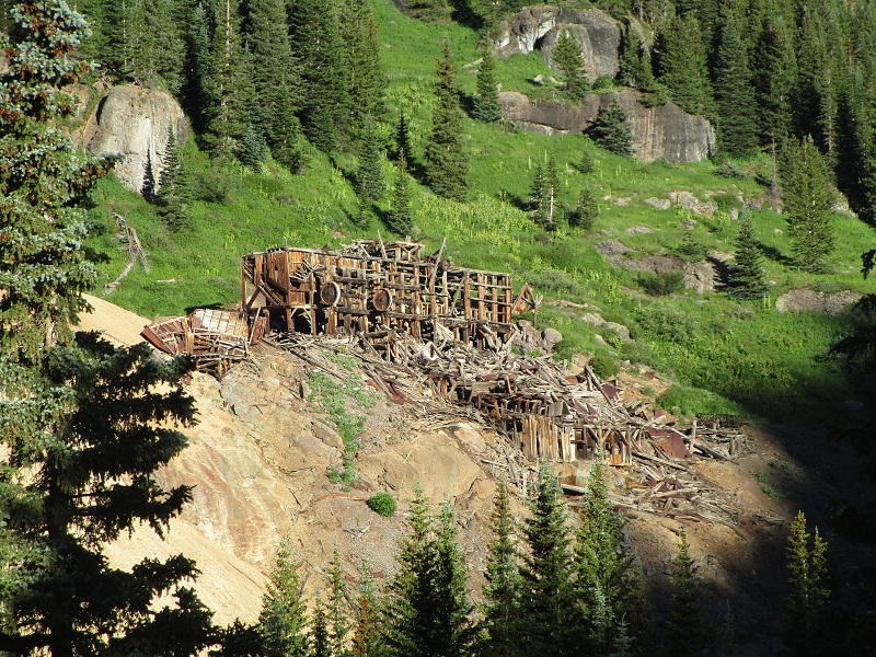
the remnants of an old mine along the road
The road got increasingly rough as expected though and we parked at about 11,400’ and continued up the rugged jeep road into the upper basin on foot. There were several other hikers, climbers, and 4WD enthusiasts up here this morning too.
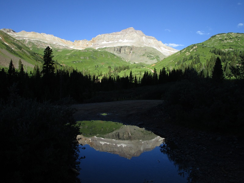
a reflection of gilpin peak (i climbed it in 2011) in a pool of water
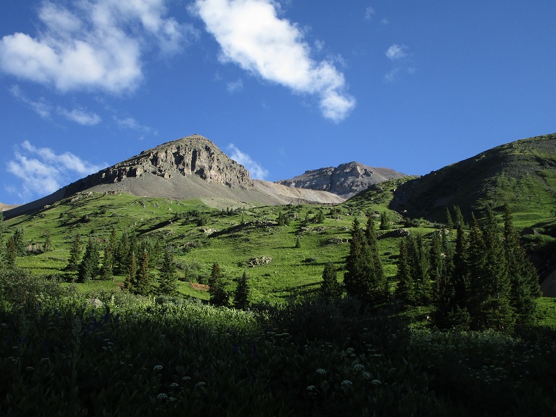
lush green slopes, and cirque mountain (2007) in the background
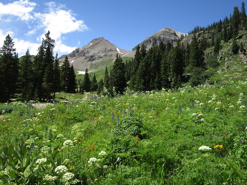
We hiked up the road, pausing to snap photos right and left. There were prodigious stands of wildflowers everywhere.
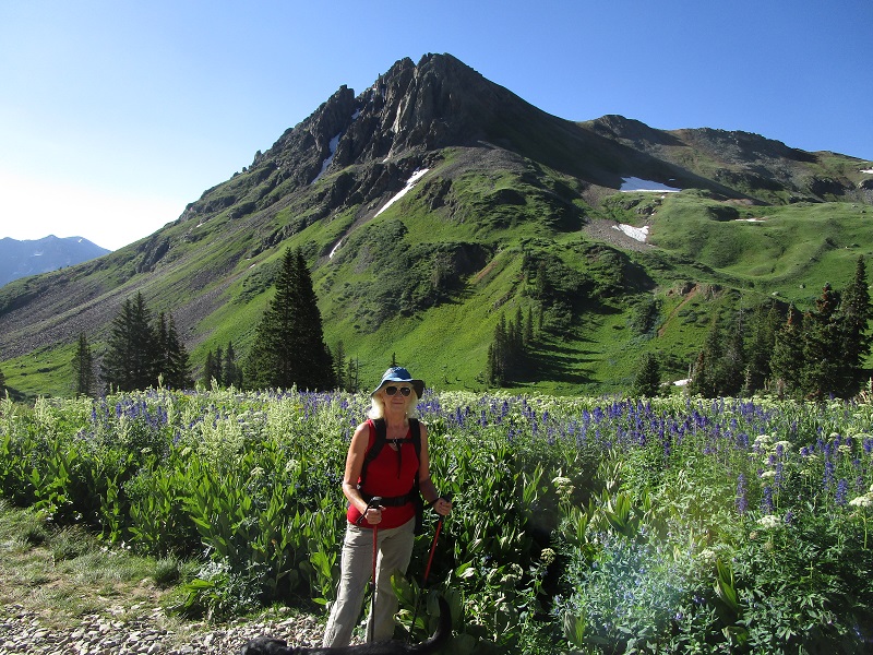
teresa and a field of shoulder-high wildflowers, with stony mountain beyond
We left the road and turned left onto the Wright’s Lake Spur Trail and hiked up past the lake and into the upper basin. There were still large banks of snow remaining in some places from the epic snowfall of the past winter.
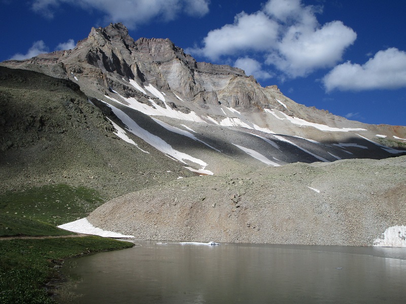
gilpin peak above wright's lake
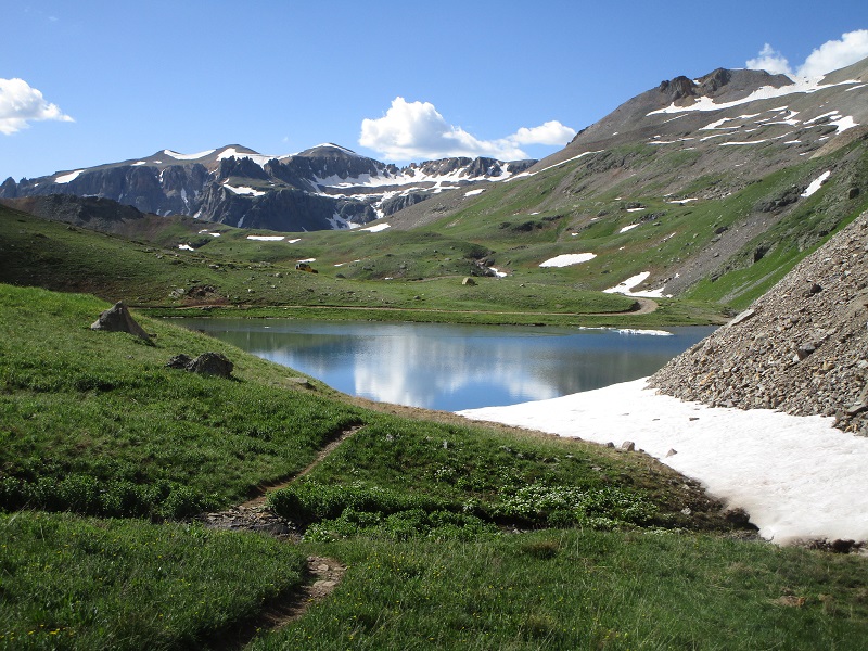
wright's lake
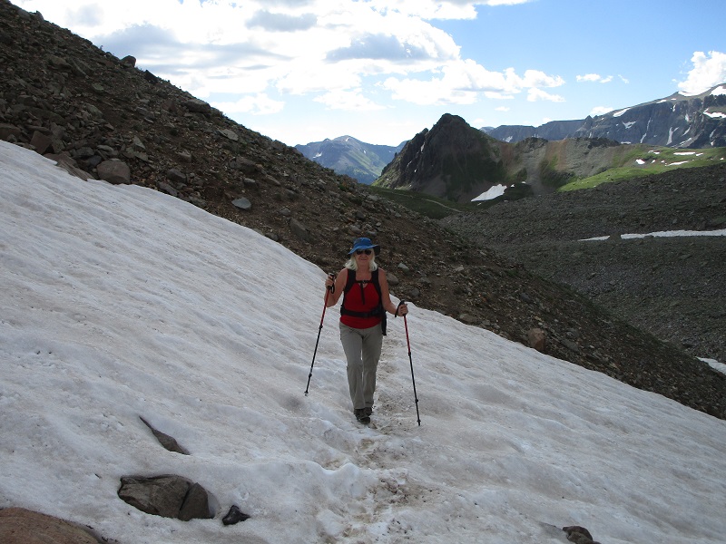
teresa crossing a snowfield
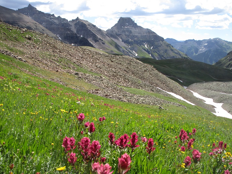
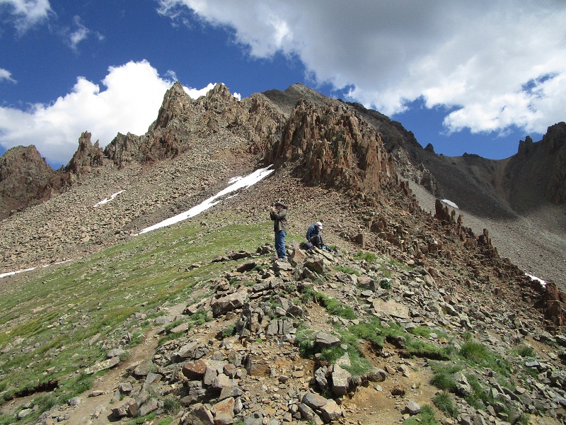
indian paintbrush, with potosi peak (2011) beyond in the center, and teakettle mountain (2005) at the upper left
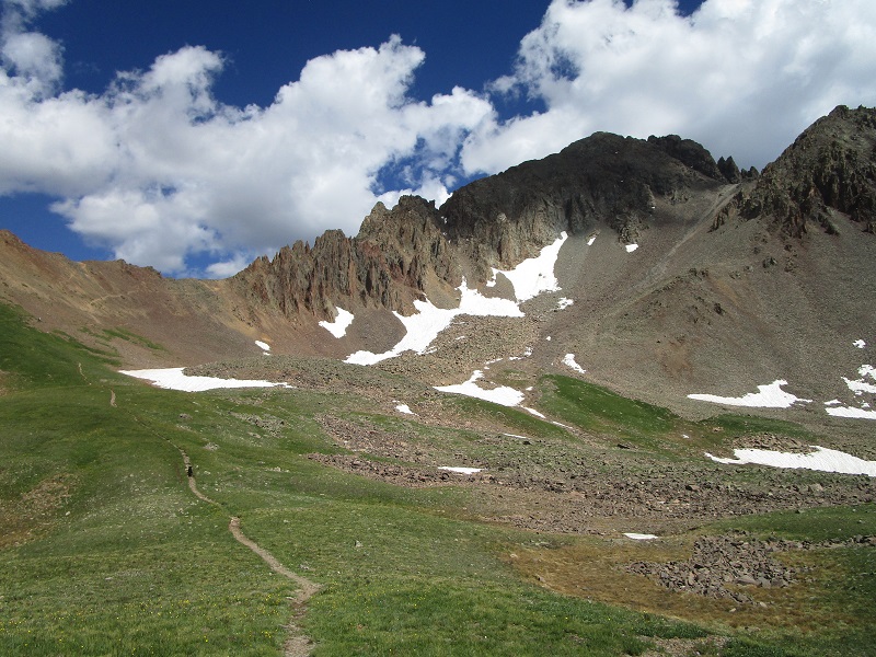
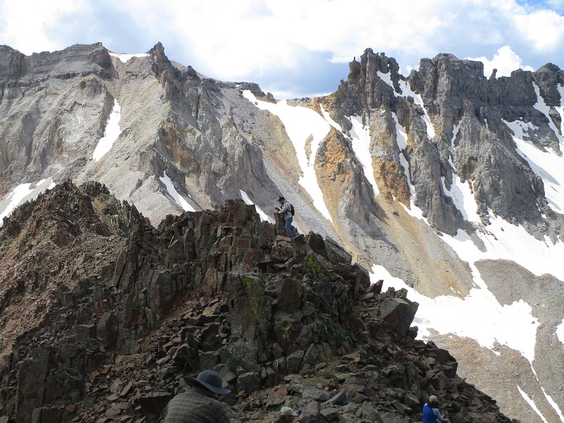
When we reached the western end of the basin we took the trail up to 13,000’ Blue Lakes Pass, an incredibly panoramic place I had never visited before. Quite a few other hikers had the same idea and were lounging about at the pass.
trail to the pass, at the left. mt. sneffels (1999) is shaded at the upper right.
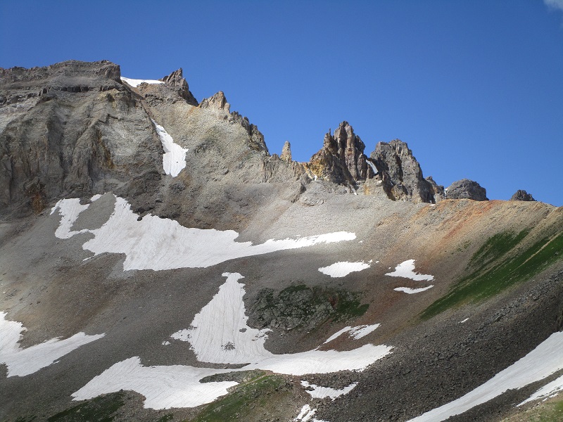
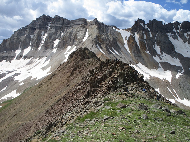
i shook my head looking at the route i once took up to gilpin peak (2011), up the steep scree and talus slope at upper left center
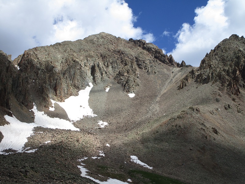
the standard route up mt. sneffels (1999) goes up the scree slope at the right, which isn't much fun either
on the trail up to blue lakes pass

at blue lakes pass. gilpin peak is at the upper left.
this is quite a dramatic place
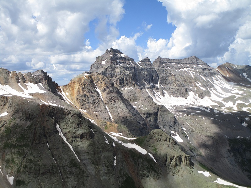
view of dallas peak (2005) from the pass, in the center
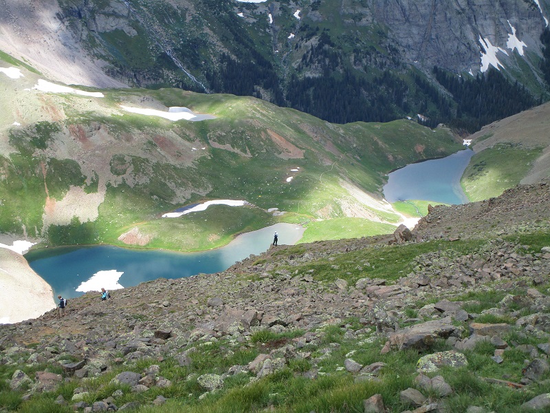
view of blue lakes below to the west from the pass
mt. sneffels' rugged southwest ridge from the pass. i saw a couple of climbers head up that way.
After enjoying the pass for a while we dropped back down into the basin and headed generally eastward on a trail below Mt. Sneffels that took us to the upper end of the 4WD road, which we followed back down to our truck. The weather clouded up for a while and thunder rumbled but it cleared up again and became sunny by the time we returned to the truck, just in time for more photos of the lovely flowers.
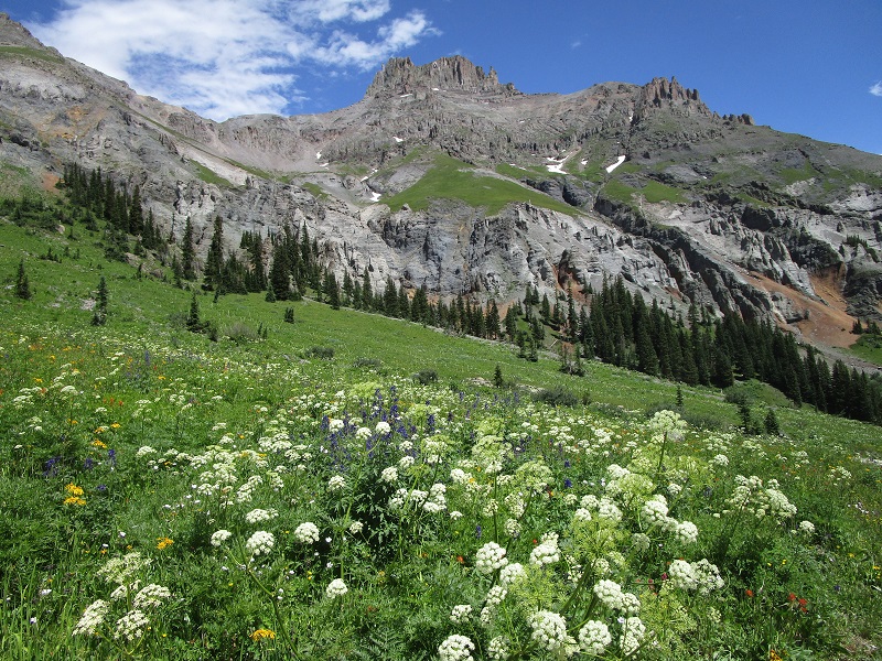
potosi peak (2011) above a field of wildflowers
wildflowers everywhere