YELLOW ROCK AND LOWER HACKBERRY CANYON, UTAH
October 16, 2023
By Tim Briese
Yellow Rock: 3.4 miles, 700’ elevation gain, 4:20 roundtrip time
Lower Hackberry Canyon: 1.5 miles, 0 elevation gain, 1:00 roundtrip time
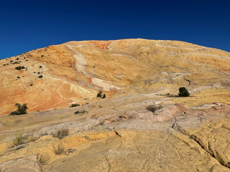
Yellow Rock is a massive colorful sandstone dome several hundred feet high and about a half mile long. It is a rather unique feature in the canyon country. It is largely yellow in color but also has various other colors in stripes and wavy forms. I hiked to its summit last year but wanted to come back to show Teresa and to explore more of the area.
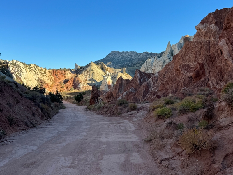
Teresa and I left Escalante and drove west on scenic byway UT 12 to Cannonville, where we turned south onto the Cottonwood Canyon Road. This is a graded dirt road that runs 50 miles south to US 89 and is quite scenic in many places. It can be impassable to all vehicles when wet though because of steep grades and clay.
on the cottonwood canyon road

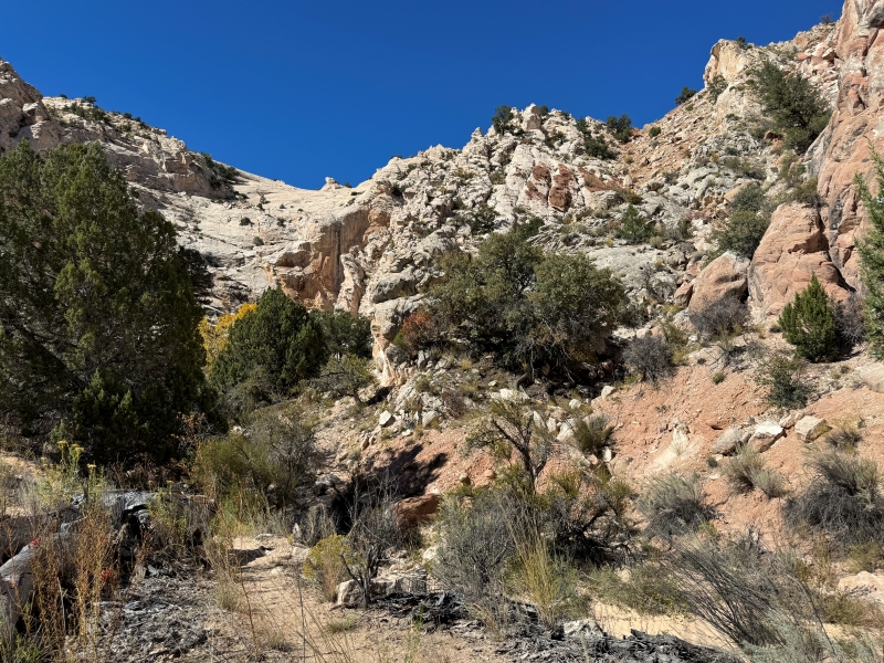
After about 32 miles we parked at a pull-off on the east side of the road where a 4WD track went east. This spot is the trailhead and it is unmarked. We began by crossing the road to the west and bushwhacking a couple of hundred yards through a jungle of tamarisk bushes. Then we crossed the nearly dry Cottonwood Wash and entered a side canyon. There was a very steep and strenuous trail that climbed a couple of hundred feet up a loose talus and dirt slope on the north side of the canyon.
entering the side canyon. the route goes up the steep slope at the right.
the rough trail goes up this slope
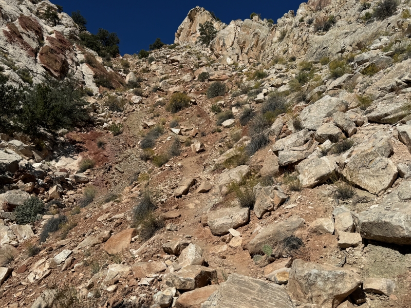
The trail up this slope can be unnerving for some. This is the most difficult part of the hike and it is enough to keep the crowds away.
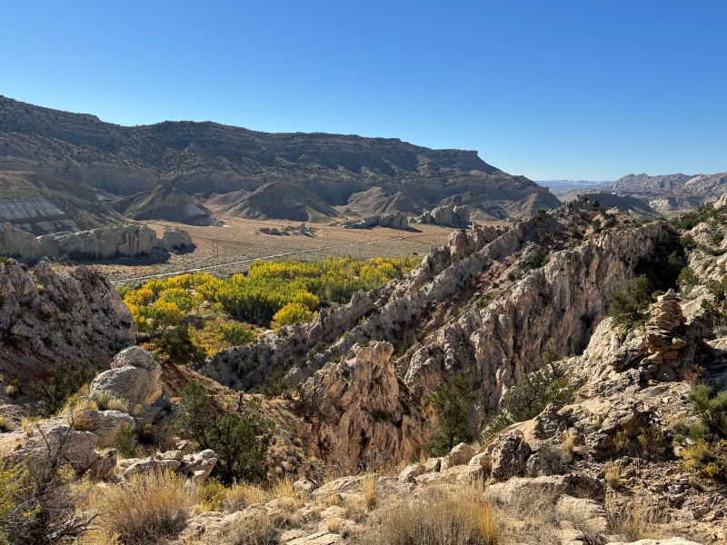
looking back down at the cottonwood canyon road and the tree-lined cottonwood wash
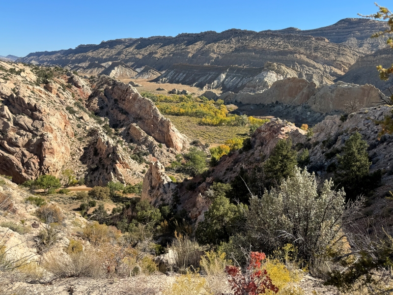
Once we gained the top of the slope we followed a cairned route further up into a drainage where we caught our first glimpse of Yellow Rock.
our first look at yellow rock
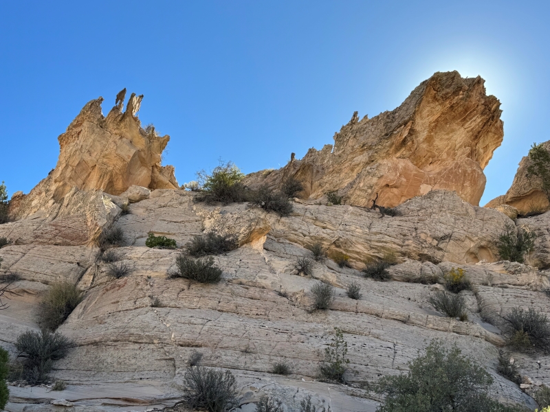
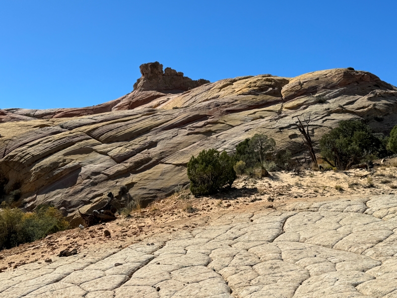
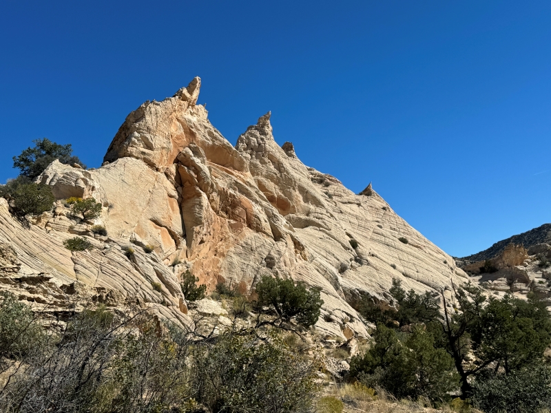
some craggy rock formations along the route
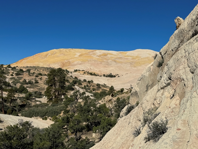
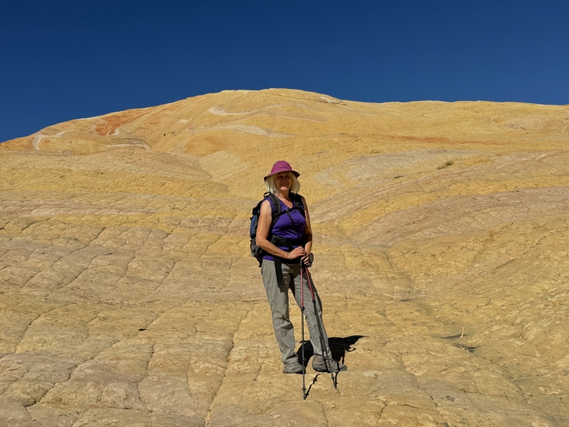
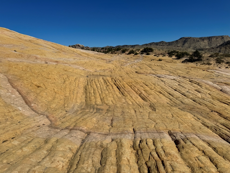
The trail soon disappeared as we set foot on an immense landscape of bare sandstone. The unmarked climb to the summit of Yellow Rock from its base requires about 400 feet of elevation gain, but neither of us were inclined to do that on this warm day. I had been up there before and we just wanted to wander around and explore.
yellow rock
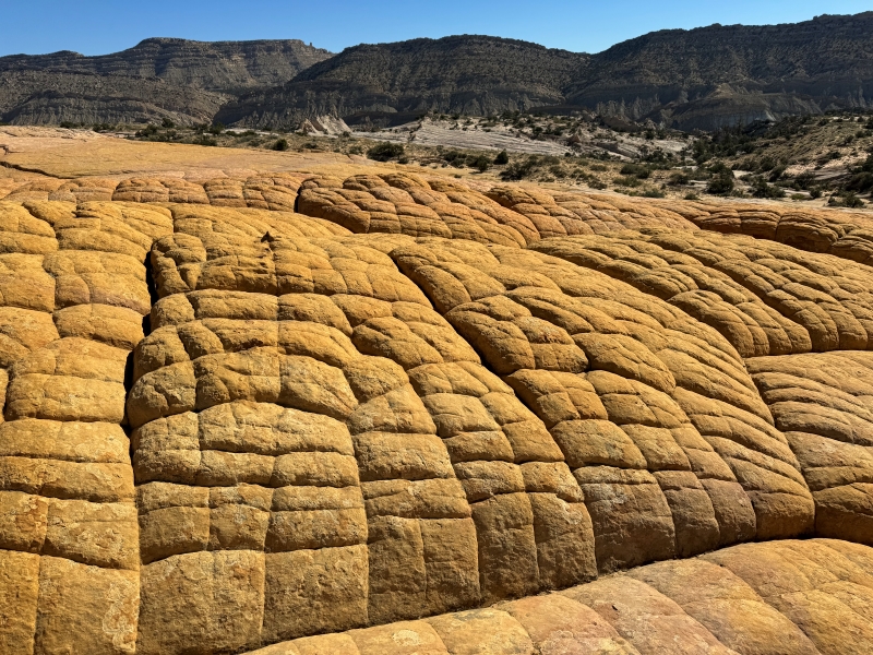
some brain rock
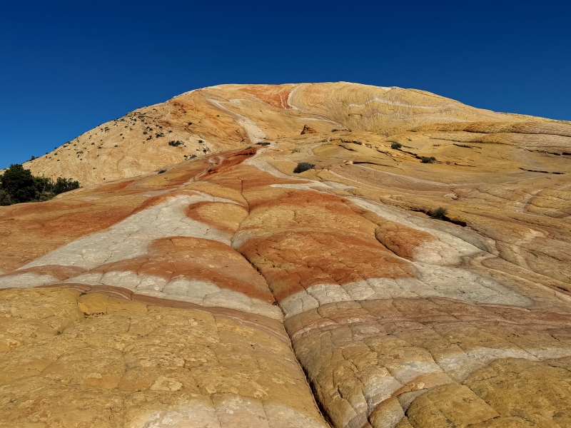
colorful patterns in the sandstone
We had some lunch in the shade of a juniper and then bushwhacked southwest across the sandstone landscape toward another formation called Red Top.
hiking across the sandstone wilderness
We went as far as we could before being stymied by cliffs.
at our turn around point

Then we meandered back across the yellow sandstone below Yellow Rock. We saw a handful of other hikers out here today.
hiking back across the yellow sandstone
Then we proceeded back toward the steep descent slope.
sharp pointed rocks on the way back
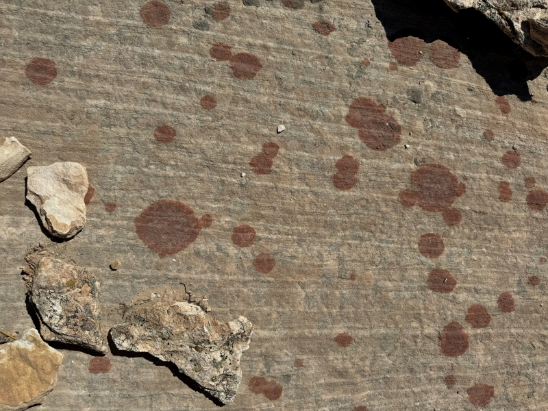
interesting red spots in the sandstone
Trekking poles were priceless for the steep descent.
on the steep descent back down into the valley
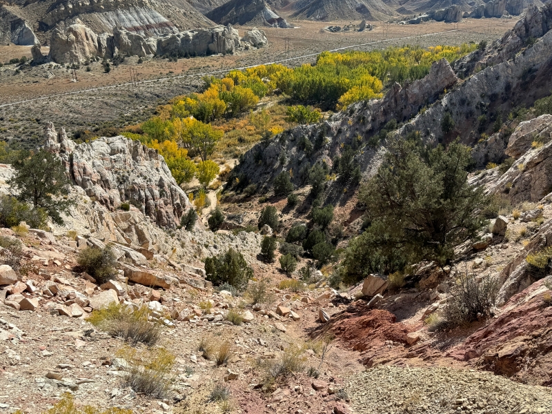
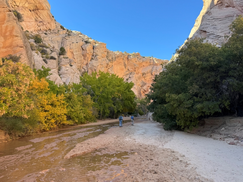
When we returned to the truck we drove back up the road a quarter mile to a signed trailhead for Hackberry Canyon. This hike is much easier and the dozen or so vehicles parked here confirmed it. The Hackberry hike goes to the west into a scenic canyon with high cliffs and then continues beyond for many miles further upstream. We only wanted to check out the first mile or so which is the narrowest section with the tallest walls, rising a couple of hundred feet above the canyon floor.
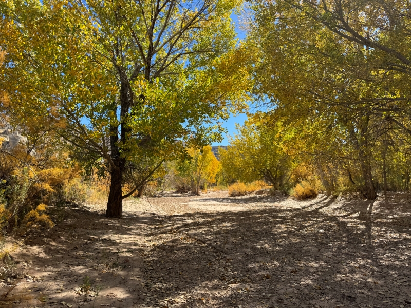
colorful cottonwoods as we crossed cottonwood wash on our way to the entrance of hackberry canyon
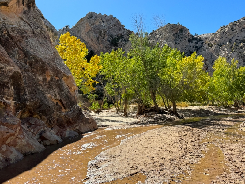
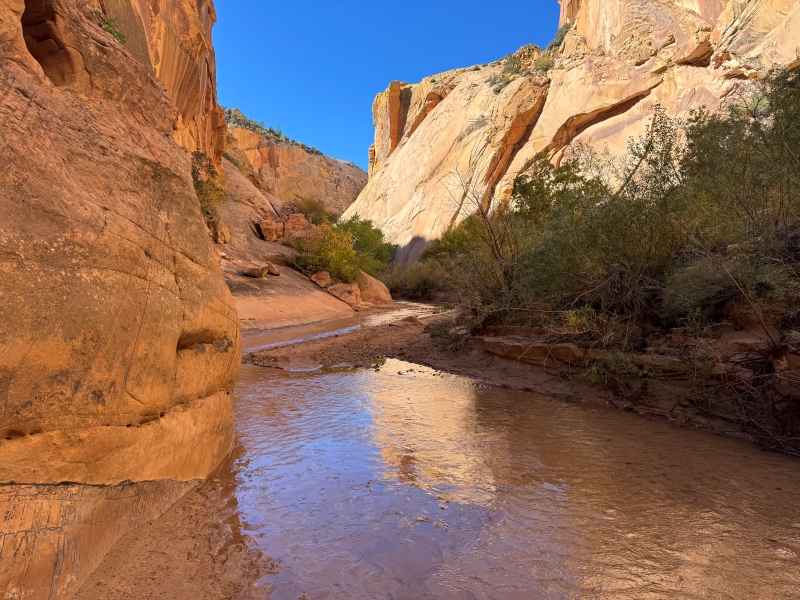
entering hackberry canyon
There was a small stream flowing down the canyon which we had to cross several times but it was only a few inches deep.
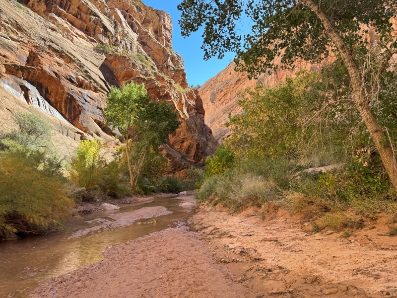
After going as far as we cared to we turned back and returned to the truck.
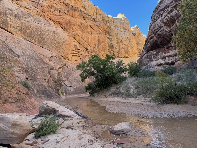
on our way back down the canyon
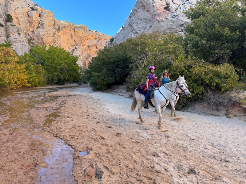
these horseback riders were returning from a lengthy ride up hackberry canyon
After returning to the truck we drove the rest of the way on the Cottonwood Canyon Road south to US 89 and headed for Kanab, our destination for the night.