MT. CHIQUITA
(13,069’)YPSILON MOUNTAIN
(13,514’)MT. CHAPIN
(12,454’)August 28, 2015
By Tim Briese
8.8 miles, 3300’ elevation gain, 7:25 roundtrip time
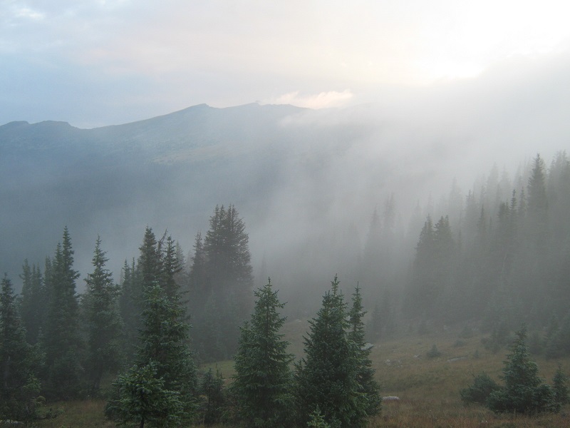
Brian and I left Estes Park and drove into Rocky Mountain National Park shortly after 5 am. We left Brian’s vehicle at the Lawn Lake Trailhead just in case we wanted to do a long loop hike to include Mt. Fairchild and Hagues Peak today, even though that was unlikely. We turned onto the Old Fall River Road and steadily climbed about 9 miles up the excellent one-way dirt road to the Chapin Pass Trailhead. There were already a few other vehicles parked in pull-offs along the road at the 11,050’ trailhead. Parking is quite limited there but we managed to secure a spot at this early hour. At 630 we headed up the steep trail to the north and 5 minutes later came to a junction at Chapin Pass and turned onto a trail to the right. It was quite foggy this morning and a chilly wind blew from the northwest. We hoped the clouds would burn off as the day went on.
fog drifted through the trees as we hiked up the trail
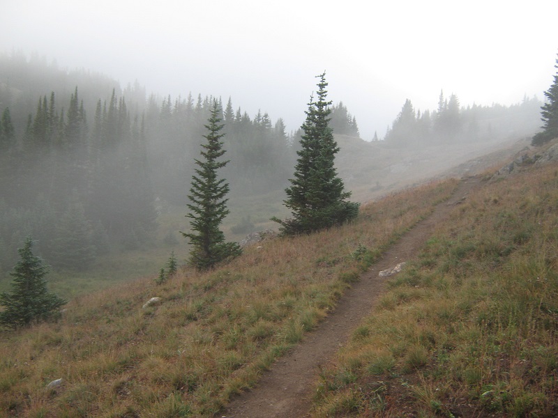
on the trail
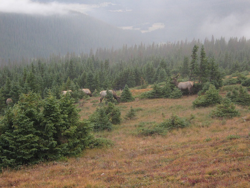
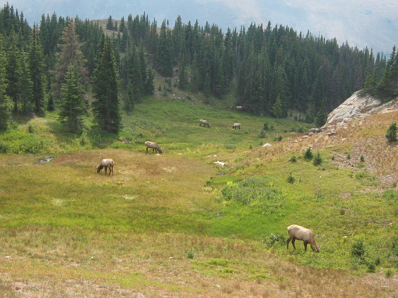
We walked past 6 bull elk with nice racks grazing contentedly off to the left of the trail.
the elk along the trail
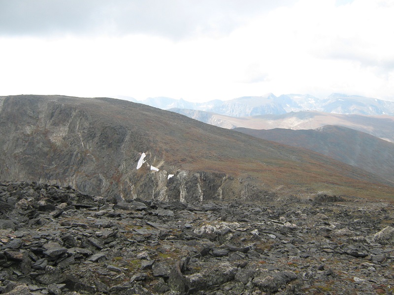
About a half mile from Chapin Pass we reached another trail junction and took the right fork, as a sign indicated this was the way to our summits. The trail climbed above timberline and made an ascending traverse across the north slopes of Mt. Chapin. We couldn’t see more than 100 feet or so in the dense fog and the wind got stronger and colder as we got higher. We considered bushwhacking up the grass and rock-covered slope to the right up to the summit of Mt. Chapin but decided to save that for our return in the hope that the fog would lift later. As we neared the 12,000 foot saddle between Mt. Chapin and Mt. Chiquita we met a speedy young hiker named Trevor coming down the trail. He had made it as far as Ypsilon but gave up on going to further summits along the ridge because of the poor conditions. We stopped at the saddle to put on wind gear and warmer clothes because the howling wind was very cold. Then we headed up the trail that went up the tundra slope to Chiquita, passing another climber named Kirk from Greeley along the way. The thousand foot climb to the broad summit plateau of Chiquita went pretty quickly. It was a good thing Brian had his GPS along which he had loaded with waypoints for our summits. It would have been difficult to determine where the actual summit was on the expansive summit plateau without it, because visibility was basically nil. We arrived on top about 9 am and stayed only about ten minutes before heading down the slope to the north to the 12,800 foot saddle between Chiquita and Ypsilon. The gentle slope up to Ypsilon was interspersed with grass and flat slabs of talus, and cairns marked part of the way.
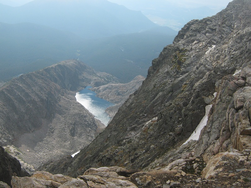
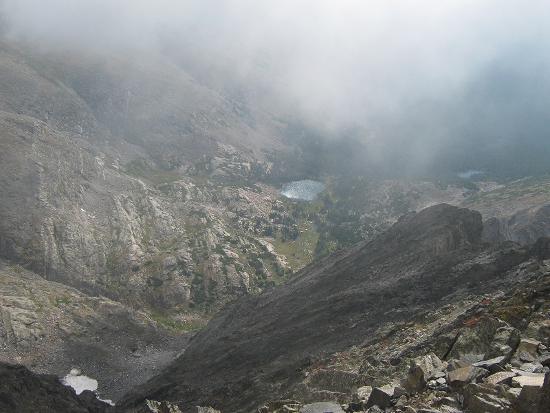
the clouds lifted momentarily to provide a view down to one of the spectacle lakes from ypsilon's south ridge
Visibility was starting to improve a little when we arrived on top of Ypsilon a few minutes after 10. It was still cold and windy, with a temperature of about 45 degrees and a wind speed of perhaps 25 mph or more.
brian is hunkered down on ypsilon's summit
The clouds broke at times and we were finally treated to some views of the surrounding scenery.
a view down at fay lakes
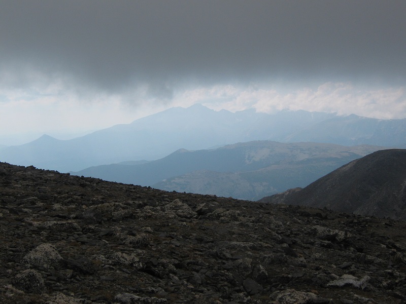
an interesting view of longs peak, barely visible beneath the cloud ceiling
fairchild mountain
Any thoughts about continuing on to Mt. Fairchild were now long gone. About 1030 we left Ypsilon and retraced our steps down its southwest slopes. The clouds had lifted now and it was nice to finally see where we were going. We met Kirk and Bob from Iowa who were on their way up to Ypsilon.
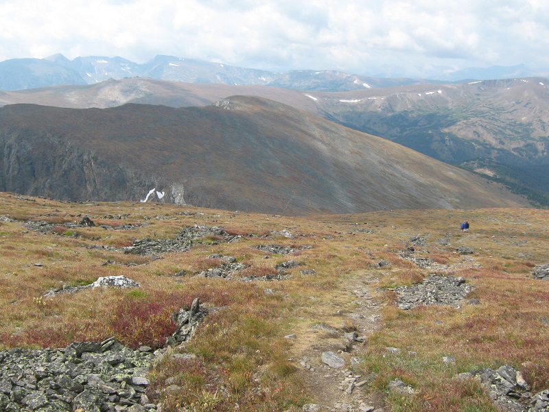
heading back down to the ypsilon/chiquita saddle. chiquita is at the upper left.
At the Ypsilon/Chiquita saddle we contoured around Chiquita’s west side to avoid re-climbing it. There was a fair amount of talus on this slope but we managed to avoid the worst of it and presently rejoined the trail that came up from the Chiquita/Chapin saddle. We visited with several other hikers as we hiked back down to the saddle.
on the trail down to the chiquita/chapin saddle
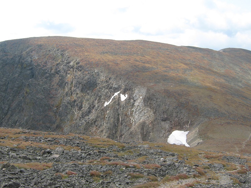
nearing the saddle; mt. chapin is at the upper left
We found a climbers trail that we took up to the summit of Mt. Chapin, and made the easy 450 foot ascent in just over 20 minutes. The sun was shining now, shortly after noon, and we relaxed for a while in the warmth on the summit. When the clouds disappeared it became apparent that the sky was very hazy, from smoke from distant forest fires in the northwestern U.S.
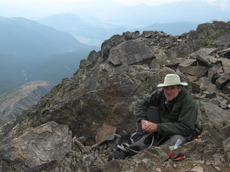
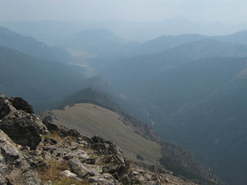
a hazy view down at the fall river valley from the summit of chapin
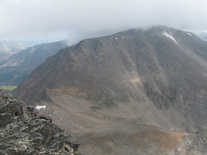
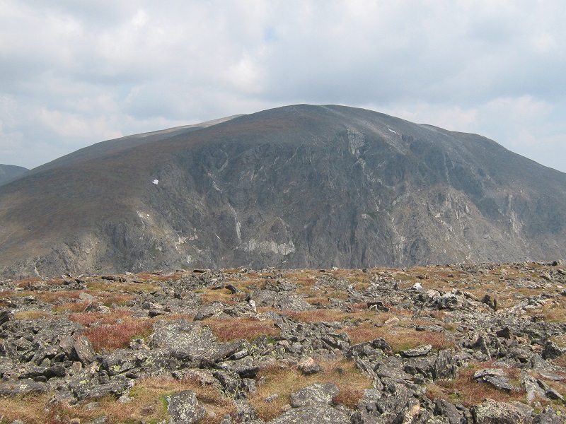
view of mt. chiquita from the summit of mt. chapin
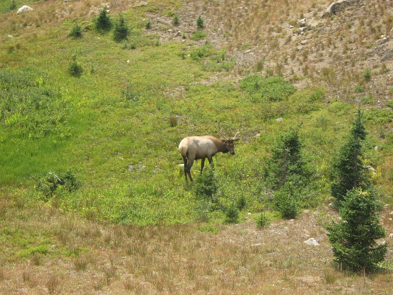
After a twenty minute stay we headed back down the trail and marched back toward the trailhead. We hiked past some elk again, maybe the same ones we had seen earlier, but they were now on the other side of the trail.
elk grazing in a meadow along the trail
this one reluctantly raised its head to have a look at us, the rest didn't bother
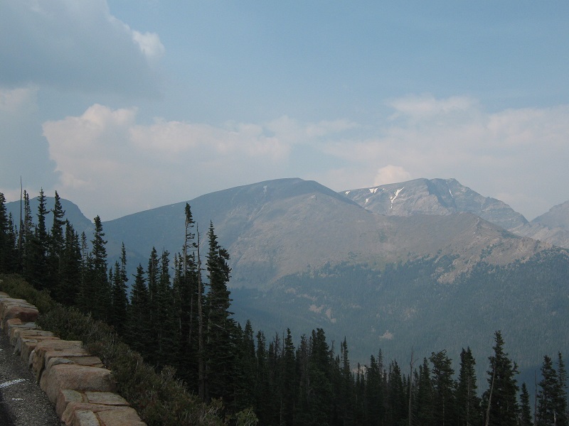
When we returned to the trailhead there were numerous vehicles squeezed along the side of the road now, and a steady stream of sightseers were driving past up the road. We drove on up the Fall River Road to the Trail Ridge Road and took it back toward Estes Park. I hadn’t been on this incredible road in many years, and it was a real treat, in spite of the very hazy sky.
view of chapin, chiquita, and ypsilon, left to right, from trail ridge road
I took Brian back to his vehicle and headed for home, concluding three great days of climbing together.